Old Maps of Sunflower, Mississippi for Metal Detecting
Plan your next treasure hunt with 12 historic maps of Sunflower. Find old homesites, ghost towns, trails, and gathering spots that may be lost to time — perfect for identifying promising metal detecting locations.
- Locate forgotten sites: Uncover places like long-lost settlements, abandoned rail lines, or gathering spots.
- Plan better hunts: Use map overlays combined with LiDAR or satellite views to narrow in on historically rich areas.
- Made for detectorists: Thousands of hobbyists use these maps to discover relics, coins, and hidden history.
Use these historic maps to boost your research and find new opportunities beneath the surface of Sunflower.
Sunflower, MS maps
(12)- 1934 Map of Cleveland
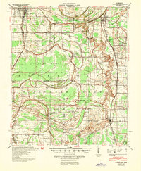
 1934 Cleveland1934 Print · USGSThe Mississippi Delta in the early thirties was a bustling landscape of rail-connected plantation towns and rural schools. Genealogists can trace family roots through numerous sites like Boyer Cem, the Doddsville Industrial Institute, and the historic Dockery community.2 unique versions available
 - 1940 Map of Cleveland, 1946 Print
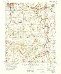
 1940 Cleveland1946 Print · USGSBolivar and Sunflower counties are seen here in the early 1940s, as the delta landscape was being transformed by major flood control projects. Genealogists can trace family roots through numerous local landmarks like Boyer Cem, Hannahs Bridge, and the Doddsville Industrial Institute.
 - 1953 Map of Greenwood, 1966 Print
 1953 Greenwood1966 Print · USGSThe Mississippi Delta in the mid-fifties is captured here as a thriving network of river towns, railroads, and oxbow lakes. Researchers can trace the legacy of the Illinois Central Railroad and locate landmarks like the State Penal Farm and Greenville Air Force Base.5 unique versions available
 - 1956 Map of Greenwood
 1956 Greenwood1956 Print · USGSThe Mississippi Delta in the mid-fifties is captured here during a period of significant military and agricultural activity. Researchers can trace the rail lines of the Illinois Central RR, find the Greenville Air Force Base, or locate the State Penal Farm.
 - 1966 Map of Sunflower, 1967 Print
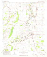 1966 Sunflower1967 Print · USGSSunflower County during the mid-1960s shows a landscape deeply tied to the Big Sunflower River and the Illinois Central railroad. Researchers can trace rural church communities like McKinney Chapel and old settlements at Blaine and Pentecost.
 - 1968 Map of Cleveland
 1968 Cleveland1968 Print · USGSBolivar and Sunflower counties are captured here in the late sixties, showing the intricate water and rail networks of the Mississippi Delta. Genealogists and local researchers can locate numerous community landmarks, including True Light Ch, Hillhouse Cem, and the small siding at O'Reilly.
 - 1983 Map of Greenwood
 1983 Greenwood1983 Print · USGSThe Mississippi Delta in the early eighties shows a landscape of rail-connected towns and vast river systems. Genealogists and historians can trace family roots in towns like Mound Bayou, Ruleville, and the grounds of Mississippi Valley State University.
 - 2012 Map of Sunflower, 2012 Print
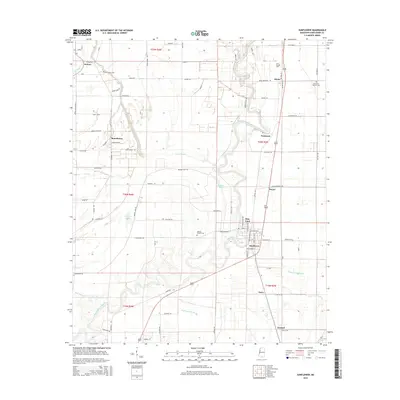
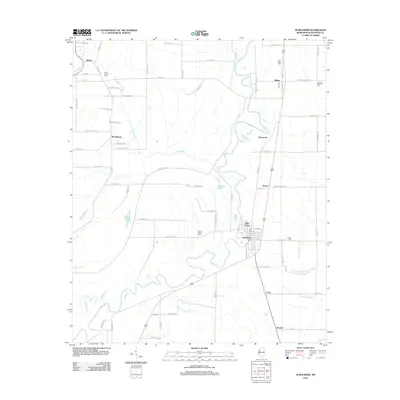 2012 Sunflower2012 Print · USGSCovers Sunflower, including Pentecost, Blaine, and other nearby areas
 - 2015 Map of Sunflower, 2015 Print
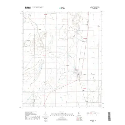
 2015 Sunflower2015 Print · USGSCovers Sunflower, including Pentecost, Blaine, and other nearby areas
 - 2018 Map of Sunflower, 2018 Print
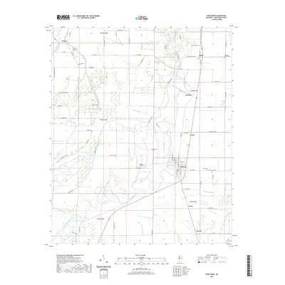
 2018 Sunflower2018 Print · USGSCovers Sunflower, including Pentecost, Blaine, and other nearby areas
 - 2020 Map of Sunflower, 2020 Print
 2020 Sunflower2020 Print · USGSCovers Sunflower, including Pentecost, Blaine, and other nearby areas
 - 2024 Map of Sunflower, 2024 Print
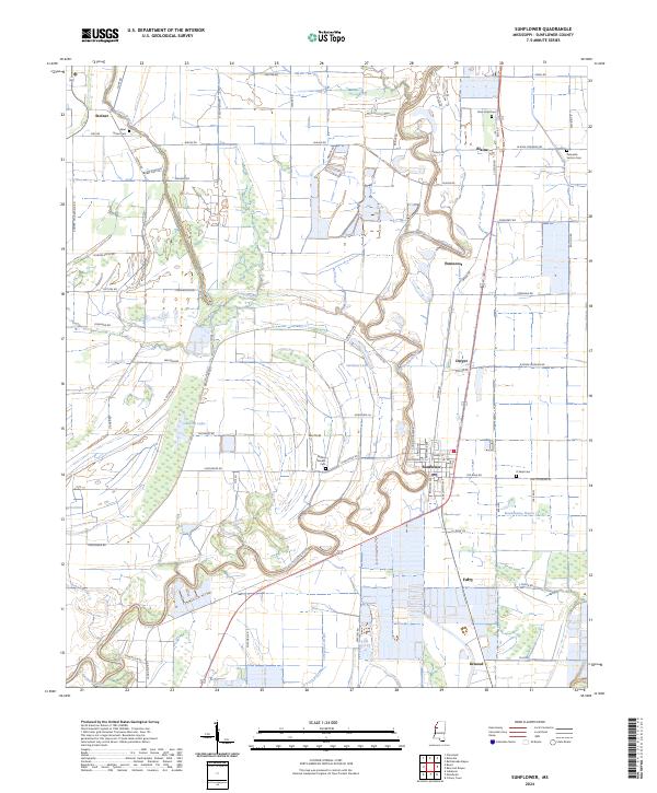 2024 Sunflower2024 Print · USGSThe Mississippi Delta's winding waterways and agricultural communities are captured in this contemporary survey of Sunflower County. Genealogists can locate several historic burial grounds including Willing Worker Cem and Sixteenth Section Cem near the Big Sunflower River.
End of results
Showing maps 1-12 of 12
Top cities near Sunflower
- Cleveland historical maps
- Indianola historical maps
- Ruleville historical maps
- Moorhead historical maps
- Itta Bena historical maps
- Shaw historical maps
See more
Top neighborhoods of Sunflower
Frequently asked questions
- What are the different types of historical maps available for Sunflower?
- What is the oldest map of Sunflower?
- Where can I purchase historical maps of Sunflower for my home or office?
- Where can I download high-res historical maps of Sunflower?
- Are there historical topographic maps available for Sunflower?
- Is there historical aerial imagery available for Sunflower?
- Where are historical maps of Sunflower sourced from?