Old Maps of Union County, Mississippi for Metal Detecting
Plan your next treasure hunt with 93 historic maps of Union County. Find old homesites, ghost towns, trails, and gathering spots that may be lost to time — perfect for identifying promising metal detecting locations.
- Locate forgotten sites: Uncover places like long-lost settlements, abandoned rail lines, or gathering spots.
- Plan better hunts: Use map overlays combined with LiDAR or satellite views to narrow in on historically rich areas.
- Made for detectorists: Thousands of hobbyists use these maps to discover relics, coins, and hidden history.
Use these historic maps to boost your research and find new opportunities beneath the surface of Union County.
Union County, MS maps
(93)- 1921 Map of Booneville
 1921 Booneville1921 Print · USGSNortheast Mississippi was a landscape of tightly-knit rural communities in the early 1920s. Researchers can trace dozens of family-named schools and churches like Bynum School, Gaston Church, and Jumpertown along the Mobile and Ohio RR.2 unique versions available
 - 1921 Map of Tupelo
 1921 Tupelo1921 Print · USGSNortheast Mississippi in the early twenties centers on the rail hub at Tupelo as it begins to connect with the fledgling Bankhead Highway system. Genealogists and local historians can trace rural family life through numerous landmarks like Campbelltown Cemetery, Clayton Store, and the Pratts School.2 unique versions available
 - 1922 Map of Booneville
 1922 Booneville1922 Print · USGSPrentiss County during the early 1920s is centered on the Mobile and Ohio RR line connecting Booneville and Baldwyn. Family historians can trace local landmarks like Crossroads Church, Jumper School, and Blackland across this detailed rural landscape.
 - 1923 Map of Tupelo
 1923 Tupelo1923 Print · USGSLee County in the early twenties is a landscape of rural schoolhouses and rail junctions centered on the growing hub of Tupelo. Researchers can trace old family footprints at Campbelltown Cemetery or locate vanished sites like Kirks Gin and Beech Springs School.2 unique versions available
 - 1949 Map of New Albany, 1964 Print
 1949 New Albany1964 Print · USGSNorth Mississippi's rural landscape comes to life in the late 1940s as rail lines and river bottoms connect scattered farming communities. Researchers can trace the heritage of local crossroads and schools like Ingomar, Possum Trot, and Beulah Grove Sch.
 - 1951 Map of New Albany
 1951 New Albany1951 Print · USGSMississippi's hill country comes into focus in the early fifties, showing a landscape defined by the GULF MOBILE AND OHIO railroad and the Tallahatchie River. Researchers can trace rural lineages through numerous local sites like Possum Trot, Turnpike Ch, and Ingomar.2 unique versions available
 - 1955 Map of Ripley, 1956 Print
 1955 Ripley1956 Print · USGSMid-century Tippah County life is centered on the railroad hub of Ripley and the headwaters of the Hatchie River. Genealogists and local historians can trace family roots through numerous rural landmarks like Academy Ch, Antioch Sch, and Pleasant Hill Cem.2 unique versions available
 - 1955 Map of Sherman, 1956 Print
 1955 Sherman1956 Print · USGSNortheast Mississippi in the mid-fifties is captured here as a landscape of small railway towns and rural crossroads along the St Louis San Francisco line. Genealogists can trace family landmarks like Cherry Creek Cem, Wallerville, and Rakestraw Mountain.2 unique versions available
 - 1955 Map of Blue Mountain, 1956 Print
 1955 Blue Mountain1956 Print · USGSTippah and Union counties are shown in the mid-fifties during a period of steady growth along the regional rail lines. Researchers can trace family sites among dozens of landmarks like St Matthew Ch, Pumpkin Center, and the Myrtle Lookout Tower.3 unique versions available
 - 1956 Map of Tupelo, 1967 Print
 1956 Tupelo1967 Print · USGSNortheast Mississippi and parts of Tennessee and Alabama are shown here during the mid-fifties, a time of major reservoir construction and forestry management. Researchers can trace the St Louis-San Francisco RR through Tupelo or locate historic sites like Tishomingo State Park and the University.2 unique versions available
 - 1958 Map of Tupelo
 1958 Tupelo1958 Print · USGSNortheast Mississippi and neighboring Alabama and Tennessee appear here during the late fifties as a region defined by new reservoirs and historic rail lines. Genealogists can trace family locations near Sardis Lake, Woodall Mountain, and the St Louis-San Francisco Ry.
 - 1973 Map of Guntown, 1975 Print
 1973 Guntown1975 Print · USGSNortheast Mississippi in the early seventies shows a landscape transitioning between traditional railroad towns and new recreational developments. Genealogists and local historians can trace family-named landmarks like Campbelltown Cem, Euclatubba Ch, and the emerging Natchez Trace Parkway.
 - 1973 Map of Baldwyn, 1975 Print
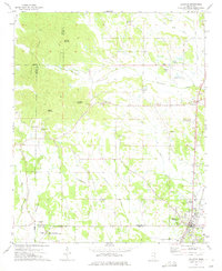 1973 Baldwyn1975 Print · USGSNorthern Mississippi's hill country and rail corridors are detailed in the early seventies, centered on the historic crossroads at Baldwyn. Researchers can trace the Brice's Cross Roads National Battlefield Site or find old family landmarks like Oak Hill Ch and Sheppard Cem.2 unique versions available
 - 1980 Map of New Albany West, 1981 Print
 1980 New Albany West1981 Print · USGSUnion County during the early eighties showcases a landscape defined by the intersection of three major railroads and the waters of the Little Tallahatchie River. Trace family history through rural sites like Ingomar, the Union Hill Cem, and numerous country churches including Zion Chapel.
 - 1980 Map of New Albany East, 1981 Print
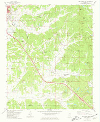 1980 New Albany East1981 Print · USGSNortheast Mississippi in the early eighties shows a landscape of rail-connected towns and rural hill country. You can trace the St Louis-San Francisco rail line through Wallerville or locate family markers at Oak Grove Ch Cem and Adair Cem.
 - 1980 Map of Northeast Pontotoc, 1981 Print
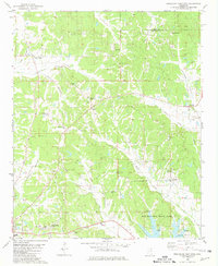 1980 Northeast Pontotoc1981 Print · USGSNortheast Mississippi in the 1980s reveals a rural landscape defined by historic creek bottoms and dispersed settlements. Genealogists and historians can trace family locations near Poplar Springs, Cherry Creek, and Spring Hill Cem while locating the route of the Old Natchez Trace Park.
 - 1980 Map of Etta, 1981 Print
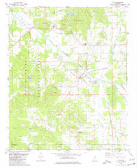 1980 Etta1981 Print · USGSNortheast Mississippi’s river bottoms and timberlands are well-preserved here in the early eighties, just as modern infrastructure began to weave through the forest. Genealogists can trace family footprints through numerous rural landmarks like West Union Sch, Salem Ch, and Friendship Cem.
 - 1980 Map of Sherman, 1981 Print
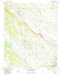 1980 Sherman1981 Print · USGSAs the Tupelo area expanded in the early eighties, this survey captures the rural character of the Lee, Union, and Pontotoc county lines. Genealogists and local historians can trace family plots at Union Cem or follow the old St Louis-San Francisco rail line through Sherman and Belden.
 - 1980 Map of Ellistown, 1981 Print
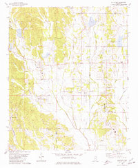 1980 Ellistown1981 Print · USGSThe hills of Union and Lee County are captured here in the late twentieth century, showing a landscape defined by small crossroads and ridge-top settlements. Genealogists can trace family roots through sites like Jones Chapel, Red Hill Cem, and the community around Ellistown.
 - 1982 Map of Keownville, 1983 Print
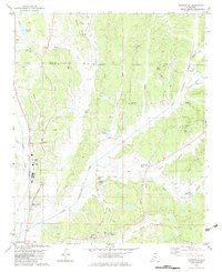 1982 Keownville1983 Print · USGSNortheast Mississippi at the start of the eighties shows a landscape of creek-fed valleys and quiet rail junctions. Genealogists can locate family landmarks like Roach Cem, Keownville, and several country churches including Ebenezer Ch and Palestine Ch.
 - 1982 Map of Pleasant Ridge, 1983 Print
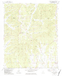 1982 Pleasant Ridge1983 Print · USGSThe rural borderlands of Union and Tippah counties come into focus in the early 1980s, showcasing a landscape of small crossroads settlements and family farms. Researchers can trace ancestral locations through Mt Zion Ch and the Zion Hill Cem, or explore the old industrial sites at Oil Mill Hill.
 - 1982 Map of Myrtle, 1983 Print
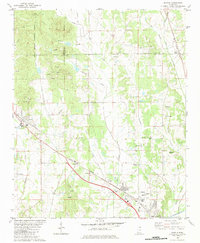 1982 Myrtle1983 Print · USGSThe hills and river bottoms of Union County are captured here in the early eighties as rural life centered around the Illinois Central Gulf rail line. Genealogists and local historians can trace old community hubs like Old Myrtle, Cotton Plant, and Zion Hill Ch.
 - 1982 Map of Hickory Flat, 1983 Print
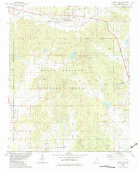 1982 Hickory Flat1983 Print · USGSBenton and Union counties in the early 1980s are defined here by rural rail towns and the deep woods of the Holly Springs National Forest. Researchers can locate legacy family sites and landmarks like Amaziah Ch, Old Myrtle, and the Myrtle Lookout Tower.
 - 1984 Map of Corinth
 1984 Corinth1984 Print · USGSNortheast Mississippi and its borders with Alabama and Tennessee are captured here in the mid-1980s, showcasing a landscape of rail-connected towns and ridge-top settlements. Researchers can trace the path of the Natchez Trace Parkway or locate family-named landmarks near Biggersville, Kossuth, and the historic Tennessee Divide.
 - 1984 Map of Tupelo
 1984 Tupelo1984 Print · USGSNorth Mississippi in the 1980s is defined by its massive river basin reservoirs and the growing regional hubs of Tupelo and Oxford. Researchers can trace the legacy of the Pontotoc Ridge, find the University of Mississippi, and map early Interstate corridors near Sardis Lake.3 unique versions available
Showing maps 1-25 of 93
Top cities of Union County
Frequently asked questions
- What are the different types of historical maps available for Union County?
- What is the oldest map of Union County?
- Where can I purchase historical maps of Union County for my home or office?
- Where can I download high-res historical maps of Union County?
- Are there historical topographic maps available for Union County?
- Is there historical aerial imagery available for Union County?
- Where are historical maps of Union County sourced from?