2010s Maps of Union County, Mississippi
Explore 36 historic maps of Union County from the 2010s. These maps offer a rare glimpse into what life looked like during the 2010s — showing old roads, neighborhoods, homes, and landmarks that have changed or disappeared over time.
Whether you're researching your family's past, planning a metal detecting trip, or studying how Union County's landscape evolved across the 2010s, these high-resolution maps are a powerful tool for exploring the history of this region.
- Focus on a specific era: All maps on this page are from the 2010s, giving you a focused view of this time period.
- See what’s changed: Compare century-old streets, trails, and buildings to today's modern landscape using overlays and satellite layers.
- Research with precision: Use these maps for genealogy, historical research, land use analysis, or educational projects.
- View, download, or print: Maps are fully viewable online in high resolution, and can be downloaded or printed for your own records.
Start exploring Union County's history through authentic maps from the 2010s. This is your window into the past.
Union County, MS maps
(36)- 2012 Map of Keownville, 2012 Print
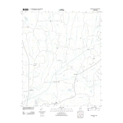 2012 Keownville2012 Print · USGSUnion County, Mississippi, at the start of the 2010s shows a landscape of established rural communities and winding river bottoms. Genealogists can locate several family and community burial grounds, including Mount Olivet Cem and Roach Cem, near settlements like Pleasant Hill.
 - 2012 Map of Pleasant Ridge, 2012 Print
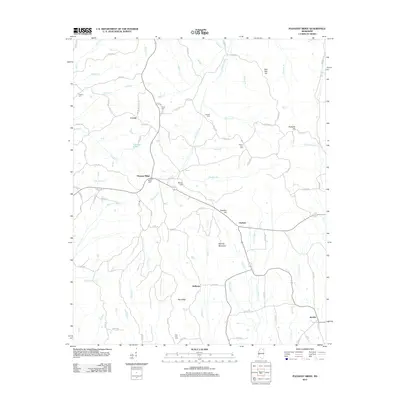 2012 Pleasant Ridge2012 Print · USGSTippah County life is captured here in the early twenty-first century, centered on the Hatchie River and its upland ridges. Researchers can trace family sites at Mount Zion Cem or locate the rural hubs of Locum, Halltown, and Jericho.
 - 2012 Map of Etta, 2012 Print
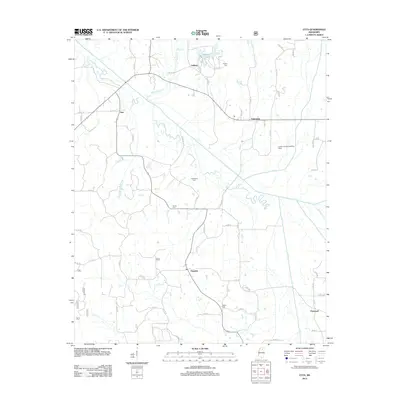 2012 Etta2012 Print · USGSUnion County's rural communities and river bottomlands are captured here in the early 2010s. Researchers can trace local heritage through numerous burial sites like Salem Cem and the small settlements of Etta, Pinedale, and Enterprise.
 - 2012 Map of Baldwyn, 2012 Print
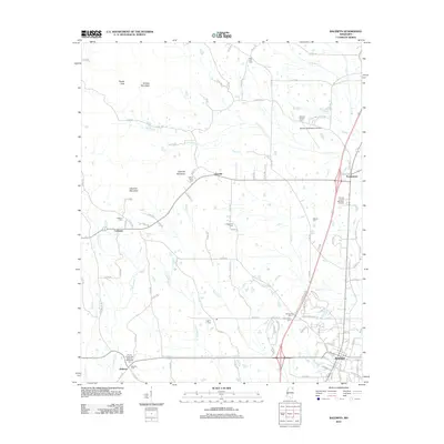 2012 Baldwyn2012 Print · USGSBaldwyn and the surrounding Lee and Prentiss County countryside are shown here in the early twenty-first century. Researchers can trace local heritage through numerous rural landmarks like Brices Crossroads National Battlefield, Carrollville Cem, and the old settlement at Geeville.
 - 2012 Map of Ellistown, 2012 Print
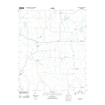 2012 Ellistown2012 Print · USGSIn the early twenty-first century, this Union County landscape remains a mosaic of rural hamlets and creek-fed valleys. Genealogists can trace family roots through sites like Ellistown Cem, Fairfield, and the historic crossing at Boggan Bend.
 - 2012 Map of Sherman, 2012 Print
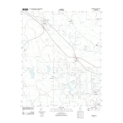 2012 Sherman2012 Print · USGSThe community of Sherman and the western outskirts of Tupelo are captured here in the early twenty-first century. Genealogists can trace family lines through numerous burial sites including Belden Cem, Maxey Cem, and Price Cem.
 - 2012 Map of New Albany East, 2012 Print
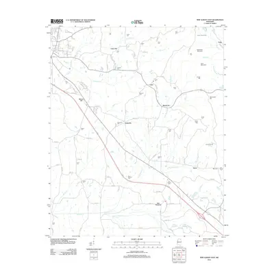 2012 New Albany East2012 Print · USGSEastern Union County in the early 2010s shows a landscape of established rural settlements and numerous family cemeteries. Researchers can trace the heritage of Wallerville, New Harmony, and Reese alongside landmarks like Biloxi National Cem and the Center Lookout Tower.
 - 2012 Map of Myrtle, 2012 Print
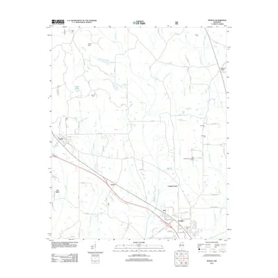 2012 Myrtle2012 Print · USGSIn the early twenty-first century, this part of Union County showcases the enduring rural character of northern Mississippi settlements. Researchers can trace family history through sites like Old Myrtle, Zion Hill Cem, and the uniquely named creek systems of Hell Cr and Damnation Cr.
 - 2012 Map of Hickory Flat, 2012 Print
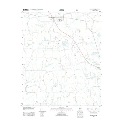 2012 Hickory Flat2012 Print · USGSHickory Flat and the surrounding north Mississippi countryside are captured in detail during the early twenty-first century. Genealogists and researchers can locate family burial grounds like Candy Hill Cemetery and trace the paths of Byers Creek and McDaniel Branch.
 - 2012 Map of New Albany West, 2012 Print
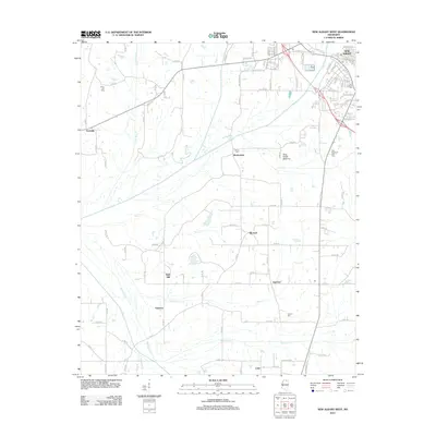 2012 New Albany West2012 Print · USGSThe western outskirts of New Albany are captured here during the early twenty-first century, showing a transition from town streets to rural family farms. Genealogists can trace local roots through several landmarks including Ingomar, Poolville, and Union Hill Cem.
 - 2012 Map of Northeast Pontotoc, 2012 Print
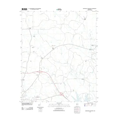 2012 Northeast Pontotoc2012 Print · USGSNortheast Mississippi in the early 2010s reveals a tapestry of family-named settlements and rural cemeteries. Researchers can trace the heritage of Endville and Poplar Springs or locate the Oak Hill Lookout Tower and Harmony Cem.
 - 2012 Map of Guntown, 2012 Print
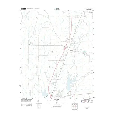 2012 Guntown2012 Print · USGSLee County at the start of the 2010s shows a landscape defined by its small towns and dozens of ancestral burial grounds. Genealogists can locate family-named sites like Gaston Cem and Francis Family Cem or explore landmarks such as Lake Lamar Bruce.
 - 2015 Map of Northeast Pontotoc, 2015 Print
 2015 Northeast Pontotoc2015 Print · USGSThe hills of northeast Pontotoc County appear here in the mid-2010s, showing a landscape shaped by rural settlements and creek bottoms. Family historians can trace local landmarks from Ecru to Endville, including Harmony Cem, Spring Hill Cem, and Dozier Hill.
 - 2015 Map of New Albany West, 2015 Print
 2015 New Albany West2015 Print · USGSNew Albany and its western outskirts are shown during the mid-twenty-teens, revealing the rural character of Union and Pontotoc counties. Researchers can trace the BNSF Railway or locate ancestral sites at Union Hill Cem, Ingomar, and Bald Hill.
 - 2015 Map of Hickory Flat, 2015 Print
 2015 Hickory Flat2015 Print · USGSThe hills of Union and Benton counties come into focus in this mid-2010s survey of the North Mississippi backcountry. Genealogists can locate numerous family and community landmarks, from Amaziah Cem and Ebenezer Cem to the small settlements of Darden and Macedonia.
 - 2015 Map of Pleasant Ridge, 2015 Print
 2015 Pleasant Ridge2015 Print · USGSNorth Mississippi's rural landscape at the turn of the twenty-first century is preserved here, spanning the Tippah and Union county line. Genealogists can locate family burial sites like Pleasant Ridge Cem and Bartlett Cem near the Hatchie River.
 - 2015 Map of Etta, 2015 Print
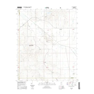 2015 Etta2015 Print · USGSNorthern Mississippi's river bottomlands and national forest acreage are captured here in the mid-2010s. Local researchers can trace family landmarks and community nodes at Etta, Pinedale, and the various rural burial grounds like Bethel Cem and Union Cem.
 - 2015 Map of Myrtle, 2015 Print
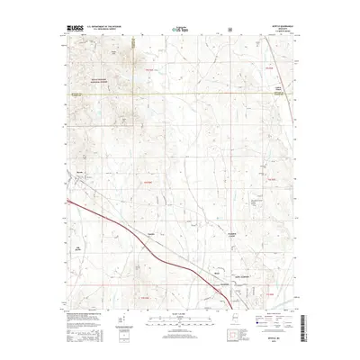 2015 Myrtle2015 Print · USGSNew Albany and the borderlands of Union, Benton, and Tippah Counties are shown here during the early twenty-first century. Researchers can trace family history through numerous burial grounds like Bethlehem Cem or explore the rural hubs of Myrtle and Pumpkin Center.
 - 2015 Map of Sherman, 2015 Print
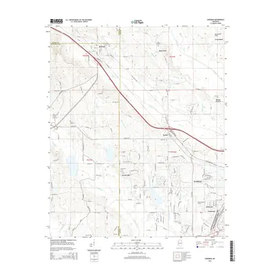 2015 Sherman2015 Print · USGSThe northwestern suburbs of Tupelo and the rural reaches of Lee County appear in detail during this mid-2010s survey. Genealogists and historians can trace family roots through numerous burial sites like Chesterville Cem and Price Cem, or locate the specific routes of Belden Pike and Highway 178.
 - 2015 Map of Keownville, 2015 Print
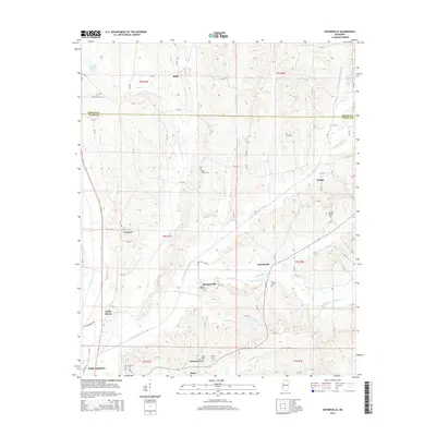 2015 Keownville2015 Print · USGSNortheast Mississippi’s rural landscape north of New Albany is documented here just after the turn of the twenty-first century. Genealogists and local historians can trace family sites at Wells Chapel Cem, Mount Olivet Cem, and the old settlement at Keownville.
 - 2015 Map of Baldwyn, 2015 Print
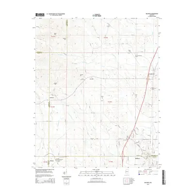 2015 Baldwyn2015 Print · USGSNortheast Mississippi’s hill country and the junction of four counties are captured in this modern survey. Researchers can trace family history at Brices Crossroads National Battlefield Cem, Rubens Chapel Cem, or explore the terrain around Kitchen Mtn and Lebanon Mtn.
 - 2015 Map of Guntown, 2015 Print
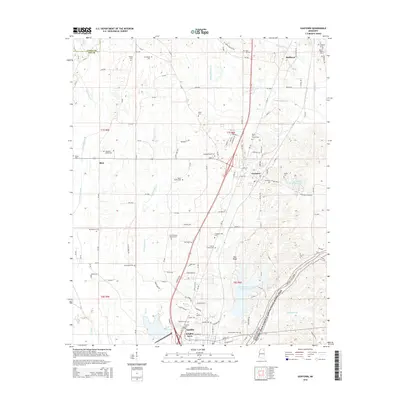 2015 Guntown2015 Print · USGSIn this 2015 survey of northeast Mississippi, the landscape is defined by the historic corridor of the Natchez Trace. Genealogists can trace family heritage through numerous burial sites like Gaston Cem and Smith Cem or the waters of Euclautubba Cr.
 - 2015 Map of New Albany East, 2015 Print
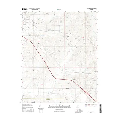 2015 New Albany East2015 Print · USGSIn the hills east of New Albany during the mid-2010s, this landscape shows a deep network of rural communities and family cemeteries. Genealogists and historians can trace local heritage through sites like Wallersville Cem, Blue Springs, and Rakestraw Mtn.
 - 2015 Map of Ellistown, 2015 Print
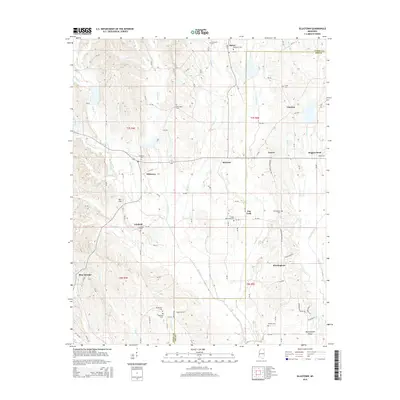 2015 Ellistown2015 Print · USGSNortheast Mississippi’s rural landscape is documented here in the early twenty-first century as it spans the Union and Lee county line. Local historians can trace family roots through numerous burial sites like Ellistown Cem and McWhorter Cem, or explore the terrain around Jug Fork and Blue Springs.
 - 2018 Map of Etta, 2018 Print
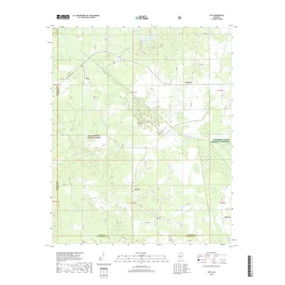 2018 Etta2018 Print · USGSUnion County during the late 2010s shows a landscape defined by the Little Tallahatchie River and the quiet communities of Etta and Enterprise. Researchers can trace local heritage through several burial sites like Salem Cem and Union Cem.
Showing maps 1-25 of 36
Top cities of Union County
Frequently asked questions
- What are the different types of historical maps available for Union County?
- What is the oldest map of Union County?
- Where can I purchase historical maps of Union County for my home or office?
- Where can I download high-res historical maps of Union County?
- Are there historical topographic maps available for Union County?
- Is there historical aerial imagery available for Union County?
- Where are historical maps of Union County sourced from?