Old Maps of Walthall County, Mississippi for Metal Detecting
Plan your next treasure hunt with 82 historic maps of Walthall County. Find old homesites, ghost towns, trails, and gathering spots that may be lost to time — perfect for identifying promising metal detecting locations.
- Locate forgotten sites: Uncover places like long-lost settlements, abandoned rail lines, or gathering spots.
- Plan better hunts: Use map overlays combined with LiDAR or satellite views to narrow in on historically rich areas.
- Made for detectorists: Thousands of hobbyists use these maps to discover relics, coins, and hidden history.
Use these historic maps to boost your research and find new opportunities beneath the surface of Walthall County.
Walthall County, MS maps
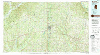
(82)- 1953 Map of Hattiesburg, 1965 Print
 1953 Hattiesburg1965 Print · USGSSouth Mississippi and western Alabama are shown here during the mid-twentieth century as the timber and rail industries shaped the region. Genealogists and historians can trace rail lines like the Mississippi Central and locate rural centers such as Magee, Richton, and Mount Vernon.4 unique versions available
 - 1953 Map of Natchez, 1966 Print
 1953 Natchez1966 Print · USGSSouthwest Mississippi and the Louisiana border country come alive in this mid-century survey of the river valley and forest lands. Researchers can trace the rail lines of the Illinois Central RR and locate rural hubs like Gloster and Ferriday.3 unique versions available
 - 1956 Map of Natchez
 1956 Natchez1956 Print · USGSThe Mississippi River borderlands and the Pine Hills come alive in this mid-fifties study of the Natchez region. Genealogists and historians can trace rail-era towns along the Illinois Central RR and explore the oxbows of Lake Bruin and Lake Concordia.
 - 1958 Map of Hattiesburg
 1958 Hattiesburg1958 Print · USGSSoutheastern Mississippi's timber and rail networks are at their peak during the late fifties, centered on the growing hubs of Hattiesburg and Laurel. Researchers can trace old family landmarks like Sims Chapel, the Busbey Game Refuge, and the vanished stops along the Mississippi Central railroad.2 unique versions available
 - 1959 Map of Natchez
 1959 Natchez1959 Print · USGSSouthwestern Mississippi and eastern Louisiana are captured in the late fifties, showing a landscape defined by the winding Mississippi River and the timbered Homochitto National Forest. Researchers can trace the sprawling Illinois Central RR and find rural landmarks like Union Church and Camp Van Dorn (Abandoned).
 - 1970 Map of Sandy Hook NW, 1972 Print
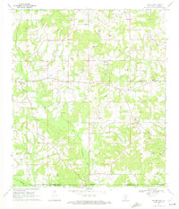
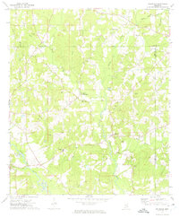
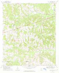 1970 Sandy Hook NW1972 Print · USGSThe rural borderlands of Marion and Walthall Counties are captured here in the early seventies, centered on the community of Foxworth. Genealogists and historians can trace local landmarks like Kokomo Sch, Terrys Chapel, and the Fernwood Columbia and Gulf railroad.3 unique versions available
 - 1970 Map of Tylertown SE, 1972 Print
 1970 Tylertown SE1972 Print · USGSThe Mississippi-Louisiana border comes into focus in the early seventies, capturing a rural landscape of creek-side settlements and family cemeteries. Genealogists can trace local roots through landmarks like Ard Cem, New Zion Ch, and the small community of Flowers.2 unique versions available
 - 1970 Map of Kokomo, 1972 Print
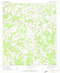
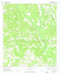
 1970 Kokomo1972 Print · USGSThe rural border of Marion and Walthall counties is captured here in the early 1970s, showing a landscape of timber-land settlements and rising energy infrastructure. Researchers can trace family roots through Magees Creek Ch, Boyd Cem, and the community at Kokomo.
 - 1970 Map of Mesa, 1972 Print
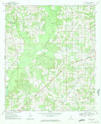
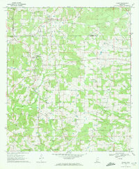
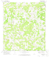
 1970 Mesa1972 Print · USGSWalthall County life in the early seventies is centered here on the rural rail corridor and the small settlements of the Piney Woods. Genealogists can trace family landmarks like Bridges Cem, St Paul Ch, and the rural community at Dinan.
 - 1970 Map of Darbun, 1972 Print
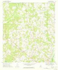
 1970 Darbun1972 Print · USGSSouth Mississippi’s rural crossroads come into focus during the early seventies, where the borders of three counties meet. Researchers can trace family history through a concentration of country churches and burial grounds like Sartinville Ch, Darbun Ch, and Sauls Valley Cem.
 - 1970 Map of Dexter, 1972 Print
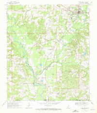
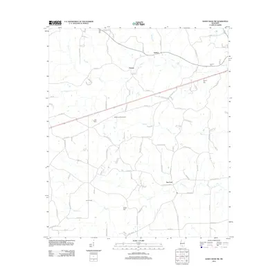
 1970 Dexter1972 Print · USGSWalthall County, Mississippi, and Washington Parish, Louisiana, meet in this early 1970s survey of a landscape shaped by petroleum and timber. Genealogists and researchers can locate family sites like Fortenberry Cem and old rural churches such as Centerville Ch and Mt Olive Ch.
 - 1970 Map of Jayess, 1972 Print
 1970 Jayess1972 Print · USGSSouth Mississippi rural life in the early seventies centers on the settlements of Jayess and Enon. Genealogists and historians can trace community roots through numerous landmarks like New Hope Ch, Greer Cem, and the New Bethel Sch.
 - 1970 Map of Tylertown, 1972 Print
 1970 Tylertown1972 Print · USGSWalthall County and Washington Parish at the turn of the 1970s show a landscape shaped by the Bogue Chitto river and the Gulf Mobile and Ohio railroad. Local historians can trace family roots through numerous sites like Brock Cem, Lexie, and New Bethel Ch.
 - 1970 Map of Sandy Hook, 1972 Print
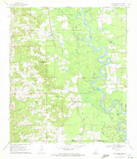 1970 Sandy Hook1972 Print · USGSThe Pearl River floodplain at the Mississippi-Louisiana border was a landscape of winding oxbows and rural rail lines during the 1970s. Genealogists can trace family names through numerous burial grounds like Warren Cem and Capp Cem, or locate landmarks such as Sandy Hook and the Gulf Mobile and Ohio railroad.2 unique versions available
 - 1972 Map of Pricedale, 1974 Print
 1972 Pricedale1974 Print · USGSPike and Lincoln Counties are captured in the early seventies, showcasing a rural landscape defined by oil production and creek-side settlements. Genealogists can locate family-named landmarks like McDavid Cem and McEwen Cem or local centers like Pricedale and Felders Campground.
 - 1972 Map of Holmesville, 1974 Print
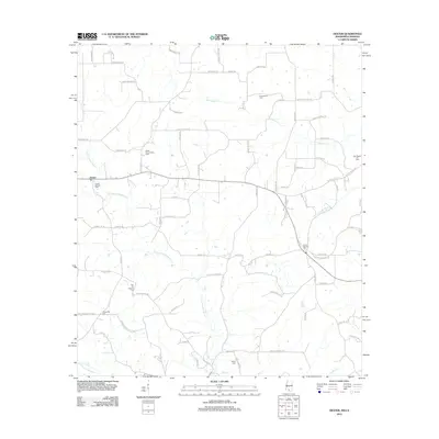
 1972 Holmesville1974 Print · USGSPike and Walthall Counties come alive in this early 1970s survey of the Bogue Chitto river valley. Researchers can trace rural lineages through the numerous family cemeteries and churches, including Holmesville Cem, Pink Hill Ch, and Webb Cem.
 - 1972 Map of Progress, 1975 Print
 1972 Progress1975 Print · USGSSouthern Mississippi at the turn of the 1970s reveals a landscape of family farms and creek-side settlements. Genealogists can locate family landmarks like Brumfield Cem and Walker Cem or the Bala Chitto Ch near the Louisiana state line.2 unique versions available
 - 1984 Map of Hattiesburg
 1984 Hattiesburg1984 Print · USGSSouth Mississippi’s Pine Belt is seen here in the mid-eighties, showing the region as a hub of timber production and petroleum extraction. Trace the rail lines of the Illinois Central Gulf RR through old settlements like Richton or the energy developments at the Heidelberg Oil Field.2 unique versions available
 - 1984 Map of Hattiesburg
 1984 Hattiesburg1984 Print · USGSSouth Mississippi’s timber and military heartland comes into focus during the mid-eighties, centering on the hub of Hattiesburg and the winding Pearl River. Researchers can trace the rail lines of the Illinois Central Gulf through old towns like Bassfield and Sumrall, or locate rural landmarks like Society Hill Ch.
 - 1984 Map of McComb
 1984 McComb1984 Print · USGSSouth Mississippi in the mid-eighties was defined by the rail corridor connecting McComb and Magnolia to the surrounding timberlands. You can trace the rural network of Pike County through landmarks like Holmesville, Percy Quin State Park, and the winding Bogue Chitto.
 - 1994 Map of McComb
 1994 McComb1994 Print · USGSSouthern Mississippi's rail-and-timber country is documented here in the early nineties as the region balanced its industrial corridors with vast forest preserves. Genealogists can trace hundreds of family-named rural landmarks, from Holmesville and Chatawa to the historic Zion Hill Ch.
 - 1994 Map of Hattiesburg, 1995 Print
 1994 Hattiesburg1995 Print · USGSSouth-central Mississippi's river valleys and timberlands are seen here in the mid-1990s as the region's transport network matured. Researchers can trace rural lineages through sites like Old Pioneer Cem and Spring Cottage or explore the vast Camp Shelby Military Reservation.
 - 2012 Map of Sandy Hook NW, 2012 Print
 2012 Sandy Hook NW2012 Print · USGSCovers Walthall County, including New Hope, Hamage, and other nearby areas
 - 2012 Map of Dexter, 2012 Print
 2012 Dexter2012 Print · USGSCovers Walthall County, including Dexter, Washington Parish, and other nearby areas
 - 2012 Map of Darbun, 2012 Print
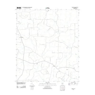 2012 Darbun2012 Print · USGSCovers Walthall County, including Sartinville, Darbun, and other nearby areas
Showing maps 1-25 of 82
Top cities of Walthall County
Frequently asked questions
- What are the different types of historical maps available for Walthall County?
- What is the oldest map of Walthall County?
- Where can I purchase historical maps of Walthall County for my home or office?
- Where can I download high-res historical maps of Walthall County?
- Are there historical topographic maps available for Walthall County?
- Is there historical aerial imagery available for Walthall County?
- Where are historical maps of Walthall County sourced from?