2010s Maps of Walthall County, Mississippi
Explore 36 historic maps of Walthall County from the 2010s. These maps offer a rare glimpse into what life looked like during the 2010s — showing old roads, neighborhoods, homes, and landmarks that have changed or disappeared over time.
Whether you're researching your family's past, planning a metal detecting trip, or studying how Walthall County's landscape evolved across the 2010s, these high-resolution maps are a powerful tool for exploring the history of this region.
- Focus on a specific era: All maps on this page are from the 2010s, giving you a focused view of this time period.
- See what’s changed: Compare century-old streets, trails, and buildings to today's modern landscape using overlays and satellite layers.
- Research with precision: Use these maps for genealogy, historical research, land use analysis, or educational projects.
- View, download, or print: Maps are fully viewable online in high resolution, and can be downloaded or printed for your own records.
Start exploring Walthall County's history through authentic maps from the 2010s. This is your window into the past.
Walthall County, MS maps
(36)- 2012 Map of Sandy Hook NW, 2012 Print
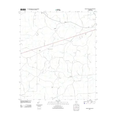 2012 Sandy Hook NW2012 Print · USGSThe rural stretches of Marion County are documented here in the early twenty-first century, showing a landscape defined by timber and agriculture. Genealogists can locate Little Rock Cem, Foxworth Cem, and the industry at Knoxo Oil Field.
 - 2012 Map of Dexter, 2012 Print
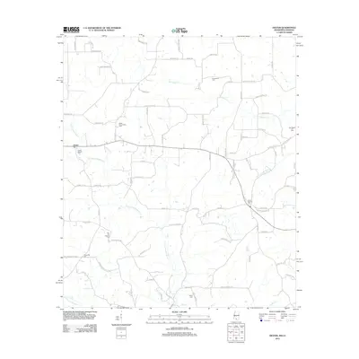 2012 Dexter2012 Print · USGSThe rural borderlands of Walthall County are captured here in the early twenty-first century, showing a landscape defined by oil fields and family cemeteries. Researchers can locate several burial sites like Centerville Cem and Carson Springs Cem near the Dexter Oil and Gas Field.
 - 2012 Map of Darbun, 2012 Print
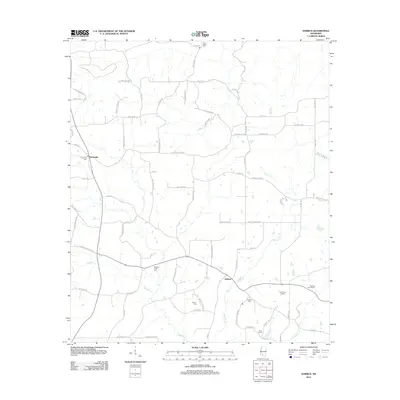 2012 Darbun2012 Print · USGSWalthall County in the early twenty-first century remains a rural landscape defined by creek valleys and long-standing family settlements. Genealogists and researchers can trace local roots through landmarks like Sartinville Cem, Rials Farms, and the winding Magees Cr.
 - 2012 Map of Pricedale, 2012 Print
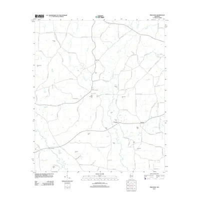 2012 Pricedale2012 Print · USGSPike County, Mississippi, is shown here in the early twenty-first century, a landscape defined by small family settlements and rural industries. Genealogists can locate numerous family burial sites like Kaigler Cem and Bridges Cem near the banks of Topisaw Cr.
 - 2012 Map of Jayess, 2012 Print
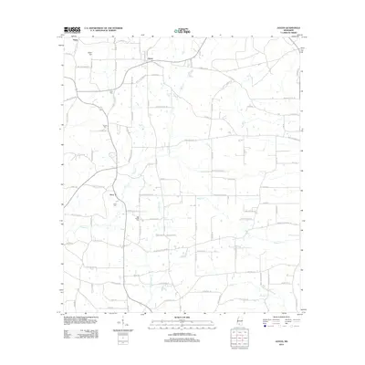 2012 Jayess2012 Print · USGSWalthall County at the start of the 2010s reveals a quiet landscape of rural crossroads and family-named homesteads. Genealogists can trace property locations and local history through Enon Cem, New Bethel Cem, and landmarks along Dummy Line Rd and Upper Jayess Rd.
 - 2012 Map of Mesa, 2012 Print
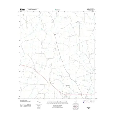 2012 Mesa2012 Print · USGSWalthall County at the start of the 2010s remains a landscape of tightly-knit rural communities and family homesteads. Genealogists can trace family names through landmarks like the Obed Magee Cem, Foil Cem, and the historic crossroads at Dinan.
 - 2012 Map of Tylertown, 2012 Print
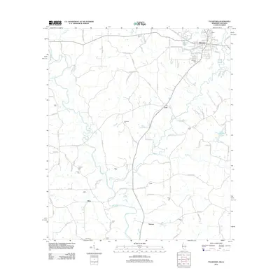 2012 Tylertown2012 Print · USGSTylertown and the surrounding Walthall County countryside are shown here in the early twenty-first century. Genealogists can trace family landmarks and burial sites across the landscape, from Founders Cemetery to the rural settlements of Lexie and Dillon.
 - 2012 Map of Progress, 2012 Print
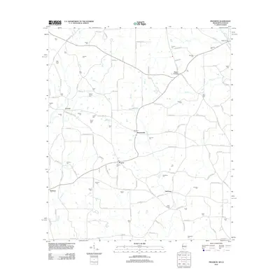 2012 Progress2012 Print · USGSSouthern Pike County at the start of the decade reveals a dense network of family-named settlements and landmarks near the Louisiana line. Genealogists can trace hundreds of family sites like Brumfield Cem, Simmonsville, and Bala Chitto Cem.
 - 2012 Map of Tylertown SE, 2012 Print
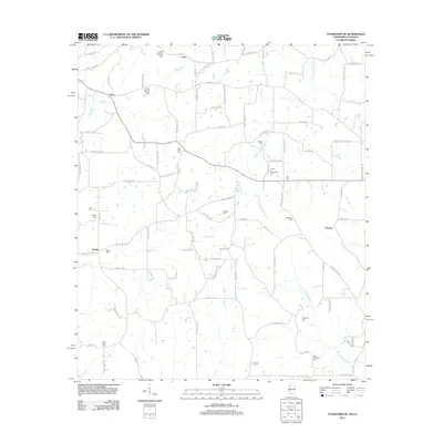 2012 Tylertown SE2012 Print · USGSSoutheast of Tylertown at the turn of the twenty-first century, this landscape is a patchwork of family homesteads and rural drainages. Researchers can trace ancestral sites through numerous family plots like Elisha Crawford Holmes Cem and small settlements like Kirklin or Flowers.
 - 2012 Map of Sandy Hook, 2012 Print
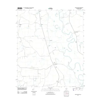 2012 Sandy Hook2012 Print · USGSSandy Hook and the surrounding Marion County bottomlands are documented here just after the turn of the millennium. Genealogists can trace family footprints through several local burial sites like Ford Chapel Cem and Pearl River Cem near Saint Paul.
 - 2012 Map of Holmesville, 2012 Print
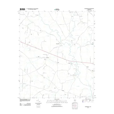 2012 Holmesville2012 Print · USGSPike County in the early twenty-first century remains a landscape defined by its winding waterways and deep family roots. Genealogists can trace local heritage through numerous family burial sites like Andrews-Bickam-Quin Cem and Martin-McNabb Cem near Holmesville.
 - 2012 Map of Kokomo, 2012 Print
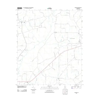 2012 Kokomo2012 Print · USGSWalthall County, Mississippi, is shown here in the early twenty-first century, preserving a landscape of creek-side settlements and family homesteads. Genealogists can trace family-named routes and local landmarks like Knoxo Cem, New Damascus Cem, and the Summers Poultry Farm.
 - 2015 Map of Progress, 2015 Print
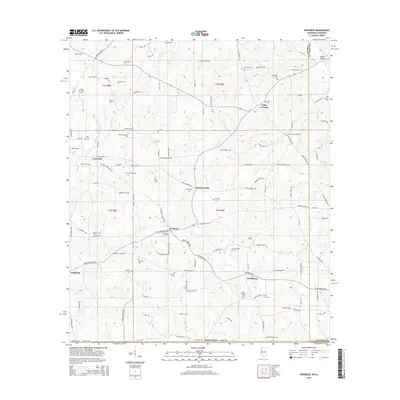 2015 Progress2015 Print · USGSSouthern Mississippi's rural borderlands come into focus in the mid-2010s, showing a landscape shaped by family-named landmarks and winding creeks. Researchers can trace ancestral connections through dozens of local burial sites, including Silver Springs Cem, Magee Cem, and Bala Chitto Cem.
 - 2015 Map of Dexter, 2015 Print
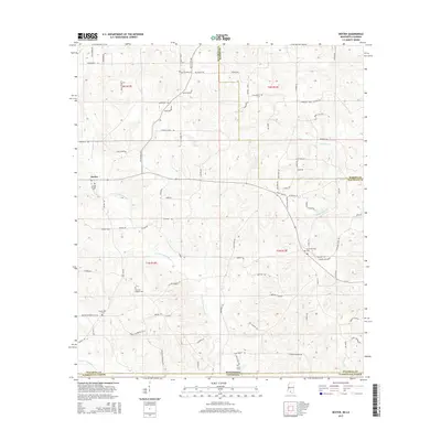 2015 Dexter2015 Print · USGSCrossing the Mississippi and Louisiana border in the mid-2010s, this area reveals a landscape of family-named roads and quiet cemeteries. Researchers can trace local lineage through sites like Crystal Springs Cem, Hinds Cem, and the settlement of Dexter.
 - 2015 Map of Tylertown, 2015 Print
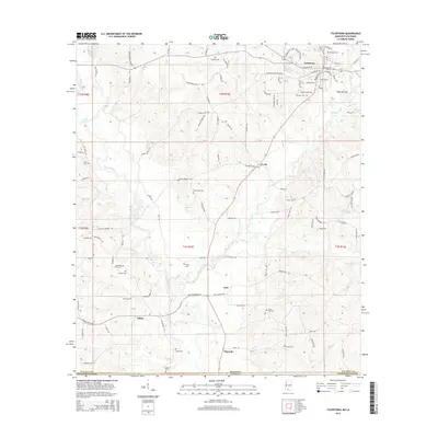 2015 Tylertown2015 Print · USGSWalthall County at the edge of the Mississippi-Louisiana border is captured here in the mid-2010s. Local researchers can trace family roots through numerous burial sites like Centerville Cem, Dillon Cem, and the rural settlements of Lehr and Simonds.
 - 2015 Map of Jayess, 2015 Print
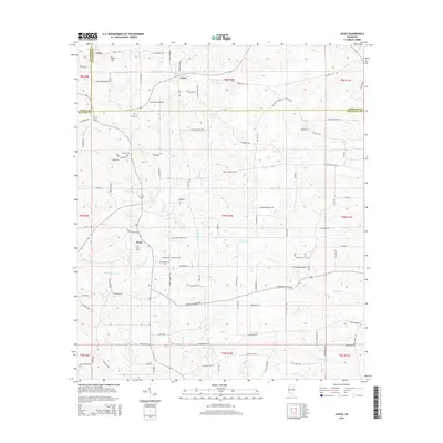 2015 Jayess2015 Print · USGSThe rural borderlands of Walthall, Lincoln, and Lawrence counties are shown here as they appeared in the early 21st century. Genealogists can trace local family lineages through named landmarks like Garner Cem, Hope Hill church, and the community of Enon.
 - 2015 Map of Holmesville, 2015 Print
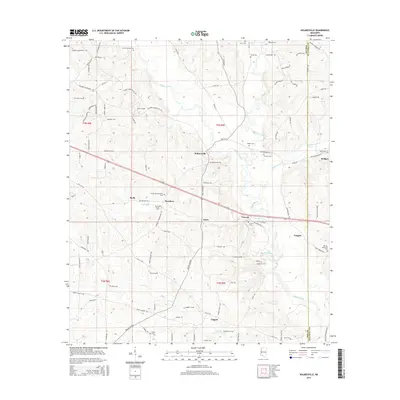 2015 Holmesville2015 Print · USGSSouthern Mississippi's rural character is on full display in the mid-2010s, centered on the Bogue Chitto river and the village of Holmesville. Genealogists can trace family heritage through numerous burial sites like Martin-McNabb Cem and the HM Lee Memorial Cem.
 - 2015 Map of Kokomo, 2015 Print
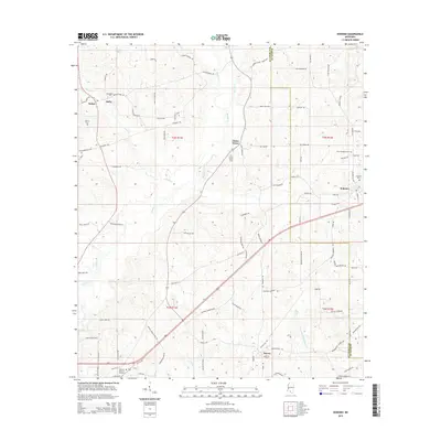 2015 Kokomo2015 Print · USGSWalthall and Marion counties are captured here in the mid-2010s, showing a rural landscape of family homesteads and winding creeks. Researchers can trace ancestral roots through numerous local landmarks like Salem Church, China Grove Cem, and New Damascus Cem.
 - 2015 Map of Tylertown SE, 2015 Print
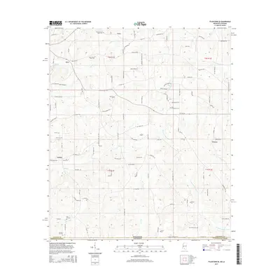 2015 Tylertown SE2015 Print · USGSThe Mississippi-Louisiana borderlands south of Tylertown come to life in this mid-2010s survey of Walthall County and Washington Parish. Local historians can trace family roots through numerous burial sites including Elisha Holmes Senior Cem and the New Zion Cem.
 - 2015 Map of Pricedale, 2015 Print
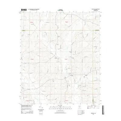 2015 Pricedale2015 Print · USGSSouthern Mississippi's Piney Woods region in the mid-2010s shows a landscape of rural family holdings and winding creek bottoms. Researchers can locate numerous family burial sites like McDavid Cem and Kaigler Cem or trace the drainage of Topisaw Cr and the Dog River.
 - 2015 Map of Mesa, 2015 Print
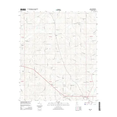 2015 Mesa2015 Print · USGSWalthall County in the mid-2010s shows a landscape of deep-rooted family settlements and rural crossroads. Genealogists can trace local history through numerous family landmarks including the Obed Magee Cem, Dinan, and the Paul Pittman Memorial Airport.
 - 2015 Map of Sandy Hook NW, 2015 Print
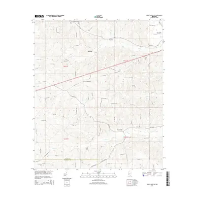 2015 Sandy Hook NW2015 Print · USGSMarion County's rural timber and creek lands are captured here in the mid-2010s, showing a landscape of small settlements and family history. Genealogists can locate several local burial grounds, including Lott Memorial Cemetery and Pleasant Hill Cemetery, near the hamlet of New Hope.
 - 2015 Map of Darbun, 2015 Print
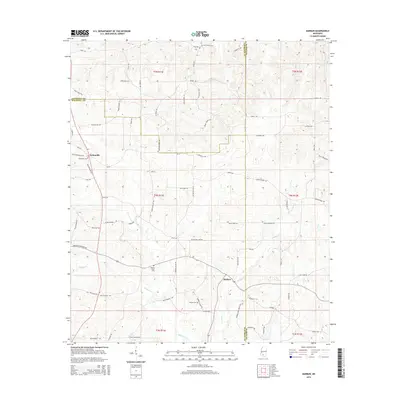 2015 Darbun2015 Print · USGSWalthall, Lawrence, and Marion counties converge in this rural Mississippi landscape as it appeared in the mid-2010s. Researchers can trace ancestral property and community ties through family-named landmarks like Jack Duncan Rd and local burial grounds including Sartinville Cem.
 - 2015 Map of Sandy Hook, 2015 Print
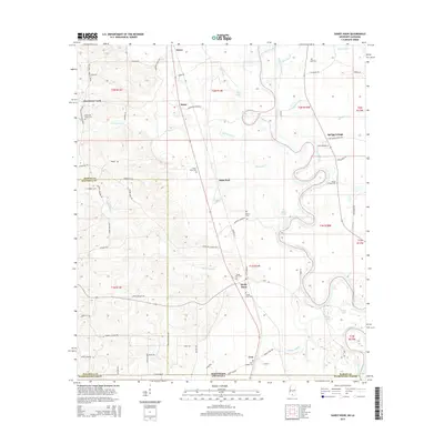 2015 Sandy Hook2015 Print · USGSThe Pearl River valley in the mid-2010s shows a landscape of winding oxbow lakes and rural settlements along the Mississippi-Louisiana border. Researchers can trace family history through local sites like Sandy Hook Cem, Spring Cottage, and Ford Chapel Cem.
 - 2018 Map of Progress, 2018 Print
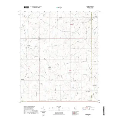 2018 Progress2018 Print · USGSSouthern Mississippi's rural heartland comes into focus in this late-period survey of Pike County. Researchers can trace ancestral roots through dozens of family burial sites like Bala Chitto Cem, Thornhill Cem, and Progress Cem.
Showing maps 1-25 of 36
Top cities of Walthall County
Frequently asked questions
- What are the different types of historical maps available for Walthall County?
- What is the oldest map of Walthall County?
- Where can I purchase historical maps of Walthall County for my home or office?
- Where can I download high-res historical maps of Walthall County?
- Are there historical topographic maps available for Walthall County?
- Is there historical aerial imagery available for Walthall County?
- Where are historical maps of Walthall County sourced from?