2010s Maps of Vicksburg, Mississippi
Explore 15 historic maps of Vicksburg from the 2010s. These maps offer a rare glimpse into what life looked like during the 2010s — showing old roads, neighborhoods, homes, and landmarks that have changed or disappeared over time.
Whether you're researching your family's past, planning a metal detecting trip, or studying how Vicksburg's landscape evolved across the 2010s, these high-resolution maps are a powerful tool for exploring the history of this region.
- Focus on a specific era: All maps on this page are from the 2010s, giving you a focused view of this time period.
- See what’s changed: Compare century-old streets, trails, and buildings to today's modern landscape using overlays and satellite layers.
- Research with precision: Use these maps for genealogy, historical research, land use analysis, or educational projects.
- View, download, or print: Maps are fully viewable online in high resolution, and can be downloaded or printed for your own records.
Start exploring Vicksburg's history through authentic maps from the 2010s. This is your window into the past.
Vicksburg, MS maps
(15)- 2012 Map of Yokena, 2012 Print
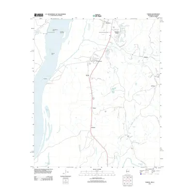 2012 Yokena2012 Print · USGSSouth of Vicksburg in the early twenty-first century, this area shows the relationship between the Mississippi River and the communities along its banks. Genealogists and local historians can locate several family-named burial sites like Glass Cem and Wright Cem, or trace the development of Le Tourneau and Yokena.
 - 2012 Map of Redwood, 2012 Print
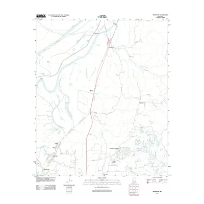 2012 Redwood2012 Print · USGSThe Yazoo River bottomlands and rising bluffs north of Vicksburg are shown here in the early 2010s. Researchers can locate family landmarks like Crocket Cem, trace the waters of Skillikalia Bayou, or study the footprint of Blakely.
 - 2012 Map of Long Lake, 2012 Print
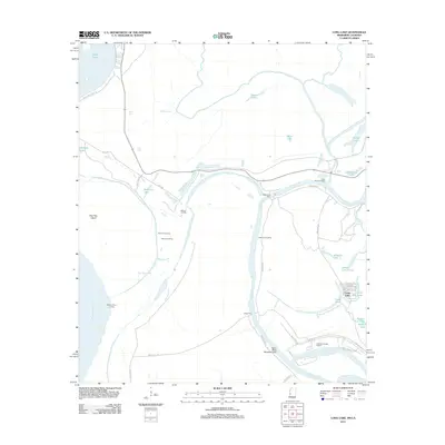 2012 Long Lake2012 Print · USGSWarren County at the start of the 2010s reveals a delta landscape shaped by the Yazoo and Mississippi rivers. Researchers can trace river landings and water-borne commerce at McKees Landing, Kings Ferry, and the Vicksburg Harbor Project.
 - 2012 Map of Vicksburg West, 2012 Print
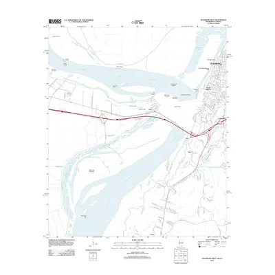 2012 Vicksburg West2012 Print · USGSVicksburg and the Mississippi River bank appear here in the early twenty-first century, showing a landscape defined by historic engineering and river shifts. Researchers can trace the path of Grants Canal, the neighborhood of Speeds Addition, and the industrial grounds of De Soto Island.
 - 2012 Map of Vicksburg East, 2012 Print
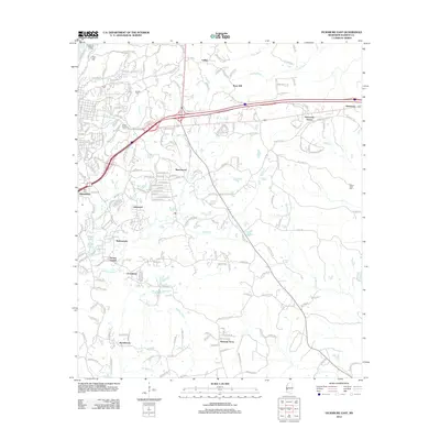 2012 Vicksburg East2012 Print · USGSVicksburg and its eastern suburbs are shown here in the early twenty-first century as modern neighborhoods expand into the surrounding hills. Genealogists and historians can trace the locations of Vicksburg National Cem, Anshe Chesed Cem, and local settlements like Porters Chapel and Rose Hill.
 - 2015 Map of Long Lake, 2015 Print
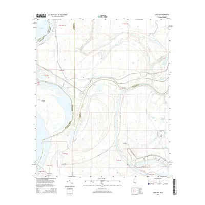 2015 Long Lake2015 Print · USGSThe Mississippi-Louisiana borderlands come alive in this recent survey of the Yazoo River delta north of Vicksburg. Local historians can trace the intricate network of oxbow lakes and former channels like Paw Paw Chute, Old Channel, and the settlement of Long Lake.
 - 2015 Map of Vicksburg East, 2015 Print
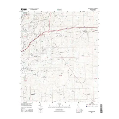 2015 Vicksburg East2015 Print · USGSVicksburg and its eastern suburbs are shown here in the mid-2010s as the city expands across the historic hills. Genealogists and historians can locate significant sites like Anshe Chesed Cem, the Vicksburg National Military Park, and the settlement of Culkin.
 - 2015 Map of Redwood, 2015 Print
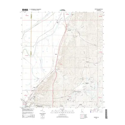 2015 Redwood2015 Print · USGSWarren County and the northern reaches of Vicksburg are shown here in the 2010s, where the historic bluffs meet the Yazoo River floodplain. Researchers can trace the borders of Vicksburg National Military Park and locate landmarks like Snyders Bluff, Crocket Cem, and Openwood Plantation.
 - 2015 Map of Yokena, 2015 Print
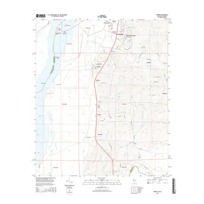 2015 Yokena2015 Print · USGSSouthern Warren County south of Vicksburg reveals a landscape shaped by the shifting Mississippi and the Big Black River during the mid-2010s. Genealogists can locate several family landmarks and burial sites, including Mount Giving Cem, Sadler Cem, and the settlement of Yokena.
 - 2015 Map of Vicksburg West, 2015 Print
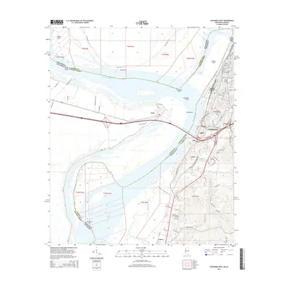 2015 Vicksburg West2015 Print · USGSVicksburg and the Mississippi River frontline are captured here during the mid-2010s, showing the intersection of historic river engineering and modern urban growth. Researchers can trace the boundaries of VNMP or locate riverfront sites like De Soto Island and Grants Canal.
 - 2018 Map of Vicksburg East, 2018 Print
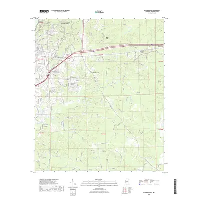 2018 Vicksburg East2018 Print · USGSVicksburg and its eastern environs are shown in this contemporary study of Warren County's winding ridges and bayous. Historians and genealogists can trace the residential growth around Vicksburg National Military Park and locate local landmarks like Beulah Cem and Mount Alban Cem.
 - 2018 Map of Yokena, 2018 Print
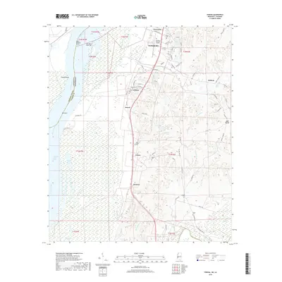 2018 Yokena2018 Print · USGSWarren County at the turn of the twenty-first century reveals a landscape defined by the shifting Mississippi River and old river-road settlements. Genealogists and local historians can trace legacy family sites across the quadrangle, from Yokena and Kimberly to rural burial grounds like Sadler Cem and Wright Cem.
 - 2018 Map of Vicksburg West, 2018 Print
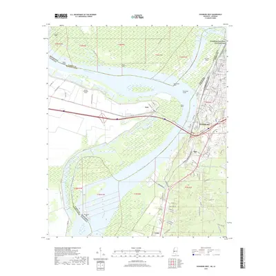 2018 Vicksburg West2018 Print · USGSVicksburg and the Mississippi River transition into the modern era, showing the enduring geography of the historic 1863 siege grounds. Genealogists and historians can trace family locations near Cedars, explore the grounds of Vicksburg National Military Park, or locate the path of Grants Canal.
 - 2018 Map of Redwood, 2018 Print
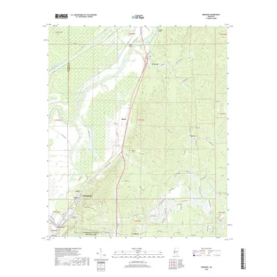 2018 Redwood2018 Print · USGSThe northern reaches of Vicksburg and the Yazoo River bottomlands come to life in this contemporary survey. Historians can trace the preserved grounds of Vicksburg National Military Park or locate the Vicksburg National Cem and Crocket Cem.
 - 2018 Map of Long Lake, 2018 Print
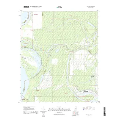 2018 Long Lake2018 Print · USGSVicksburg and the surrounding delta lowlands appear in this modern survey of the river-dominated border between Mississippi and Louisiana. Researchers can trace the industrial corridor near Vicksburg or locate specific points like Browns Point, Long Lake, and Eagle Lake.
End of results
Showing maps 1-15 of 15
Top cities near Vicksburg
Top neighborhoods of Vicksburg
- Bellemeade historical maps
- Lakewood historical maps
- Porters Chapel historical maps
- Warrenton Heights historical maps
- Cedars historical maps
- Jonestown historical maps
See more
Frequently asked questions
- What are the different types of historical maps available for Vicksburg?
- What is the oldest map of Vicksburg?
- Where can I purchase historical maps of Vicksburg for my home or office?
- Where can I download high-res historical maps of Vicksburg?
- Are there historical topographic maps available for Vicksburg?
- Is there historical aerial imagery available for Vicksburg?
- Where are historical maps of Vicksburg sourced from?