2020s Maps of Vicksburg, Mississippi
Explore 10 historic maps of Vicksburg from the 2020s. These maps offer a rare glimpse into what life looked like during the 2020s — showing old roads, neighborhoods, homes, and landmarks that have changed or disappeared over time.
Whether you're researching your family's past, planning a metal detecting trip, or studying how Vicksburg's landscape evolved across the 2020s, these high-resolution maps are a powerful tool for exploring the history of this region.
- Focus on a specific era: All maps on this page are from the 2020s, giving you a focused view of this time period.
- See what’s changed: Compare century-old streets, trails, and buildings to today's modern landscape using overlays and satellite layers.
- Research with precision: Use these maps for genealogy, historical research, land use analysis, or educational projects.
- View, download, or print: Maps are fully viewable online in high resolution, and can be downloaded or printed for your own records.
Start exploring Vicksburg's history through authentic maps from the 2020s. This is your window into the past.
Vicksburg, MS maps
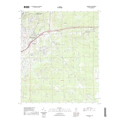
(10)- 2020 Map of Redwood, 2020 Print
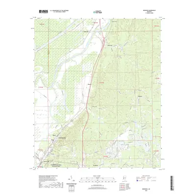 2020 Redwood2020 Print · USGSCovers Vicksburg, including Openwood Plantation, Southall, and other nearby areas
 - 2020 Map of Yokena, 2020 Print
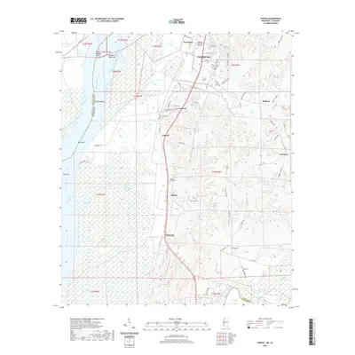 2020 Yokena2020 Print · USGSCovers Vicksburg, including Yokena, Warrenton, and other nearby areas
 - 2020 Map of Vicksburg West, 2020 Print
 2020 Vicksburg West2020 Print · USGSCovers Vicksburg, including Delta, Cedars, and other nearby areas
 - 2020 Map of Long Lake, 2020 Print
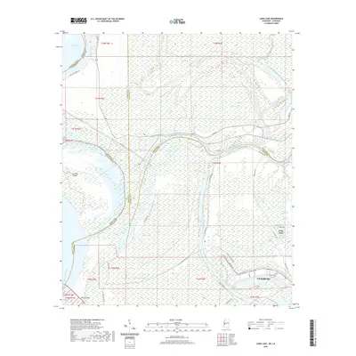 2020 Long Lake2020 Print · USGSCovers Vicksburg, including Long Lake, Warren County, and other nearby areas
 - 2020 Map of Vicksburg East, 2020 Print
 2020 Vicksburg East2020 Print · USGSCovers Vicksburg, including Beechwood, Culkin, and other nearby areas
 - 2024 Map of Vicksburg West, 2024 Print
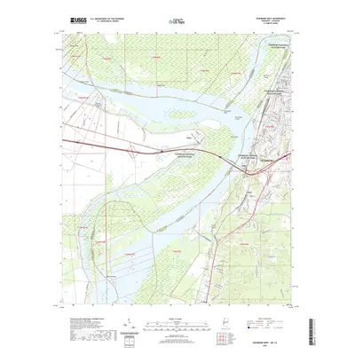
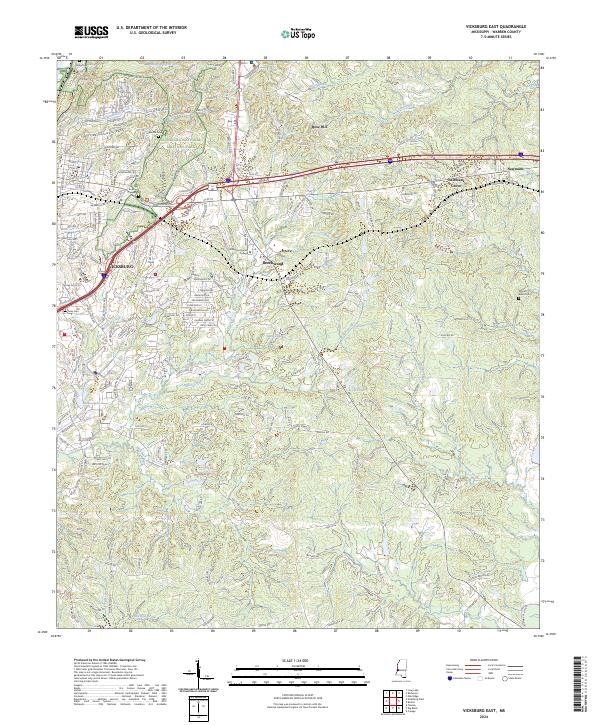
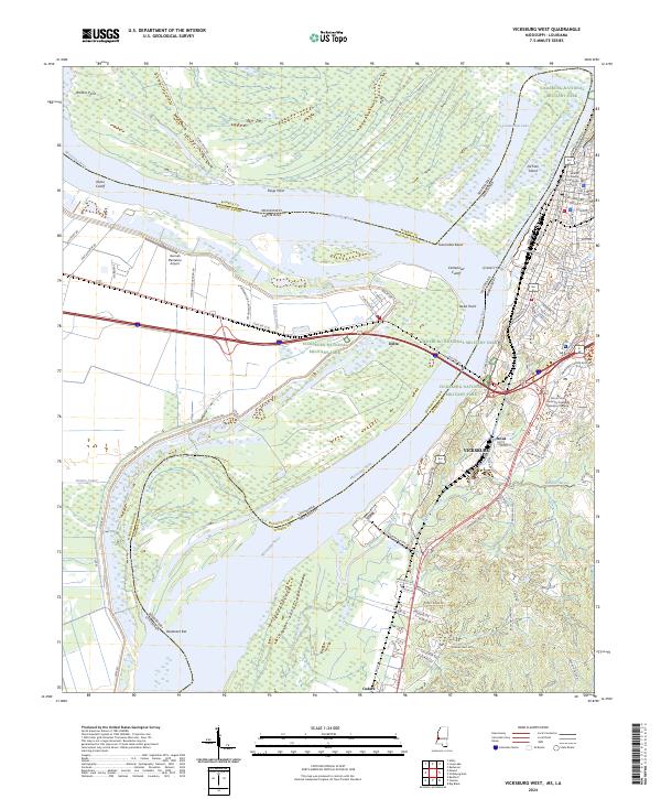 2024 Vicksburg West2024 Print · USGSThe riverfront at Vicksburg and the sprawling grounds of the Vicksburg National Military Park are shown here in modern detail. Researchers can trace the legacy of the Civil War at Grants Canal or locate local landmarks like the Warren County Courthouse and the Q and C Ferry crossing.
 - 2024 Map of Yokena, 2024 Print
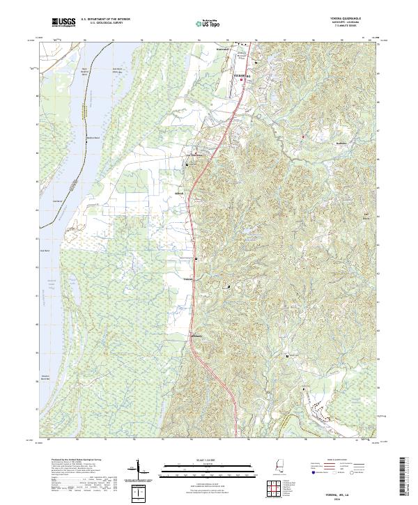 2024 Yokena2024 Print · USGSSouth of Vicksburg in the 2020s, the landscape follows the high ground above the Mississippi River floodplains. Genealogists and local historians can trace family locations near Mount Giving Cem, the small community of Yokena, or the historic crossing at Hankerson Ferry Rd.
 - 2024 Map of Long Lake, 2024 Print
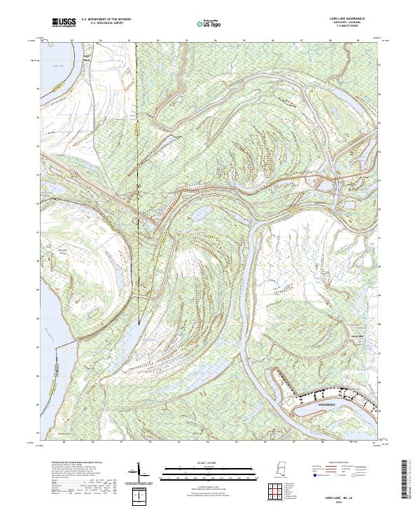 2024 Long Lake2024 Print · USGSThe river-driven landscape north of Vicksburg is charted here in the 2020s, showing a complex delta of bayous and oxbows. Trace historical river crossings and industrial growth near Vicksburg and Sweets Ferry, or explore the shores of Eagle Lake.
 - 2024 Map of Redwood, 2024 Print
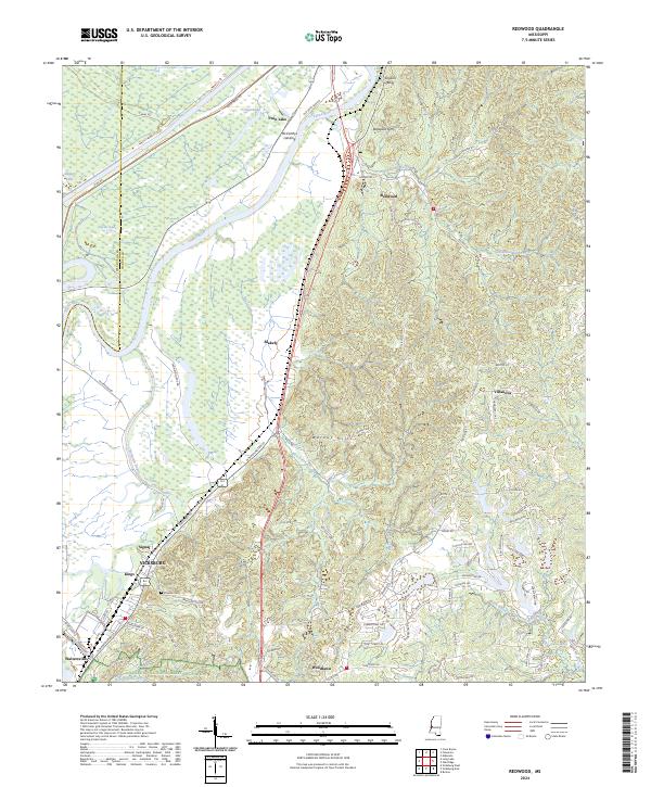 2024 Redwood2024 Print · USGSThe Yazoo River bottomlands and the rising bluffs of Warren County are shown here in modern detail. Researchers can trace the perimeter of Vicksburg National Military Park or locate family sites near Crocker Cem and McCarthys Landing.
 - 2024 Map of Vicksburg East, 2024 Print
 2024 Vicksburg East2024 Print · USGSThe eastern reaches of Vicksburg and the military park are captured here in the early 2020s, showing a landscape shaped by historical memory and modern growth. Genealogists can locate family landmarks like Beulah Cem, Tates Cem, and Mount Albin Cem.
End of results
Showing maps 1-10 of 10
Top cities near Vicksburg
Top neighborhoods of Vicksburg
- Bellemeade historical maps
- Lakewood historical maps
- Porters Chapel historical maps
- Warrenton Heights historical maps
- Cedars historical maps
- Jonestown historical maps
See more
Frequently asked questions
- What are the different types of historical maps available for Vicksburg?
- What is the oldest map of Vicksburg?
- Where can I purchase historical maps of Vicksburg for my home or office?
- Where can I download high-res historical maps of Vicksburg?
- Are there historical topographic maps available for Vicksburg?
- Is there historical aerial imagery available for Vicksburg?
- Where are historical maps of Vicksburg sourced from?