Old Maps of Fanny Arnold Park, Greenville for Hiking & Exploration
Hike through history with 12 historic maps of Fanny Arnold Park. Explore old trails, ghost towns, and forgotten backroads — perfect for outdoor adventurers and local explorers.
- Rediscover forgotten places: Map out old mining camps, roads, and footpaths that no longer exist on modern maps.
- Layer with modern tools: Combine with LiDAR or satellite views to plan hikes through historical terrain.
- Made for exploration: Popular among hikers, overlanders, and local history lovers.
Use these maps to find adventure and explore the hidden past of Fanny Arnold Park.
Fanny Arnold Park, Greenville maps
(12)- 1939 Map of Refuge, 1949 Print
 1939 Refuge1949 Print · USGSThe Mississippi River delta in the late thirties reveals a landscape shaped by massive engineering projects and traditional river life. Trace the shifting banks and cutoff channels alongside rural settlements like Refuge, the rails of the Yazoo and Mississippi Valley Railroad, and local landmarks like Macedonia Ch.4 unique versions available
 - 1953 Map of Greenwood, 1966 Print
 1953 Greenwood1966 Print · USGSThe Mississippi Delta in the mid-fifties is captured here as a thriving network of river towns, railroads, and oxbow lakes. Researchers can trace the legacy of the Illinois Central Railroad and locate landmarks like the State Penal Farm and Greenville Air Force Base.5 unique versions available
 - 1956 Map of Greenwood
 1956 Greenwood1956 Print · USGSThe Mississippi Delta in the mid-fifties is captured here during a period of significant military and agricultural activity. Researchers can trace the rail lines of the Illinois Central RR, find the Greenville Air Force Base, or locate the State Penal Farm.
 - 1970 Map of Greenville, 1972 Print
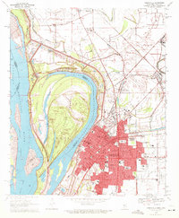 1970 Greenville1972 Print · USGSGreenville and the Mississippi River frontline are captured here in the early seventies, showing a landscape shaped by massive river cutoffs. Genealogists can locate family landmarks like Old Mt Tabor Cem, Macedonia Ch, and Winterville.2 unique versions available
 - 1972 Map of Greenville
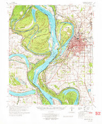 1972 Greenville1972 Print · USGSThe Mississippi Delta's winding riverbanks and fertile lowlands are captured here in the early seventies, detailing the region's complex water management and rural settlements. Genealogists can locate family-named landmarks like The Old Evening Star Ch, Trigg Sch, and the Red Leaf Cem across the Washington County landscape.
 - 1986 Map of Crossett
 1986 Crossett1986 Print · USGSSoutheast Arkansas and the Mississippi Delta meet in the mid-1980s, revealing a landscape of rail-linked towns and river bottomlands. Researchers can trace the Missouri Pacific line through Hamburg and Parkdale or locate Millers Chapel and Winterville Mounds State Park.2 unique versions available
 - 2011 Map of Greenville, 2011 Print
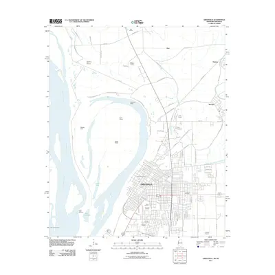 2011 Greenville2011 Print · USGSGreenville and the Mississippi Delta are shown here during the early twenty-first century, as the river continues to shape the local landscape. Genealogists can trace family history through several distinct sites including the Chinese Cemetery and Old Mount Tabor Cemetery.
 - 2012 Map of Greenville, 2012 Print
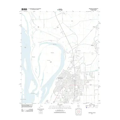 2012 Greenville2012 Print · USGSThe Mississippi Delta's riverfront and city grid are captured here in the early twenty-first century, showing the evolving shoreline and urban landscape. Genealogists can locate several distinct burial sites including Old Mount Tabor Cem, Chinese Cem, and Jewish Cem.
 - 2015 Map of Greenville, 2015 Print
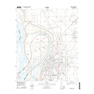 2015 Greenville2015 Print · USGSGreenville and the Mississippi River dominate this mid-2010s survey of the Delta. Researchers can trace local heritage through the Chinese Cem, Jewish Cem, and the path of the Columbus & Greenville Railway.
 - 2018 Map of Greenville, 2018 Print
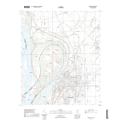 2018 Greenville2018 Print · USGSThe Mississippi Delta riverfront comes alive in this contemporary record of the Arkansas-Mississippi border. Researchers can trace ancestral sites across several distinct burial grounds, including the Chinese Cem, Jewish Cem, and Old Mount Tabor Cem.
 - 2020 Map of Greenville, 2020 Print
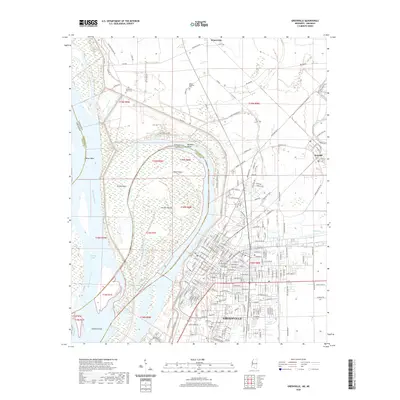 2020 Greenville2020 Print · USGSGreenville and the Mississippi River delta are captured here in the contemporary era, showing a landscape defined by massive levees and river engineering. Genealogists can locate legacy sites like the Chinese Cem, Jewish Cem, and the Washington County Courthouse.
 - 2024 Map of Greenville, 2024 Print
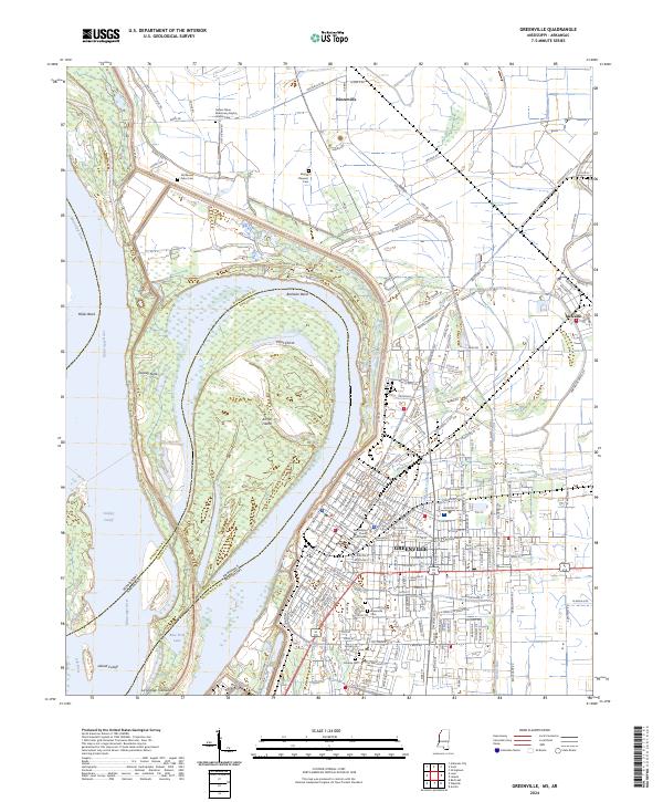 2024 Greenville2024 Print · USGSThe Mississippi Delta riverfront and the city of Greenville are documented here in the early twenty-first century. Researchers can locate diverse community sites like the Chinese Cem, the Washington County Courthouse, and the tracks of the Columbus & Greenville Ry.
End of results
Showing maps 1-12 of 12
Frequently asked questions
- What are the different types of historical maps available for Fanny Arnold Park?
- What is the oldest map of Fanny Arnold Park?
- Where can I purchase historical maps of Fanny Arnold Park for my home or office?
- Where can I download high-res historical maps of Fanny Arnold Park?
- Are there historical topographic maps available for Fanny Arnold Park?
- Is there historical aerial imagery available for Fanny Arnold Park?
- Where are historical maps of Fanny Arnold Park sourced from?