Old Maps of Smithtown, Mississippi for Metal Detecting
Plan your next treasure hunt with 11 historic maps of Smithtown. Find old homesites, ghost towns, trails, and gathering spots that may be lost to time — perfect for identifying promising metal detecting locations.
- Locate forgotten sites: Uncover places like long-lost settlements, abandoned rail lines, or gathering spots.
- Plan better hunts: Use map overlays combined with LiDAR or satellite views to narrow in on historically rich areas.
- Made for detectorists: Thousands of hobbyists use these maps to discover relics, coins, and hidden history.
Use these historic maps to boost your research and find new opportunities beneath the surface of Smithtown.
Smithtown, MS maps
(11)- 1953 Map of Hattiesburg, 1965 Print
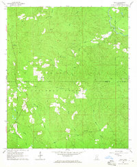
 1953 Hattiesburg1965 Print · USGSSouth Mississippi and western Alabama are shown here during the mid-twentieth century as the timber and rail industries shaped the region. Genealogists and historians can trace rail lines like the Mississippi Central and locate rural centers such as Magee, Richton, and Mount Vernon.4 unique versions available
 - 1958 Map of Hattiesburg
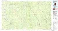
 1958 Hattiesburg1958 Print · USGSSoutheastern Mississippi's timber and rail networks are at their peak during the late fifties, centered on the growing hubs of Hattiesburg and Laurel. Researchers can trace old family landmarks like Sims Chapel, the Busbey Game Refuge, and the vanished stops along the Mississippi Central railroad.2 unique versions available
 - 1964 Map of Piave, 1965 Print
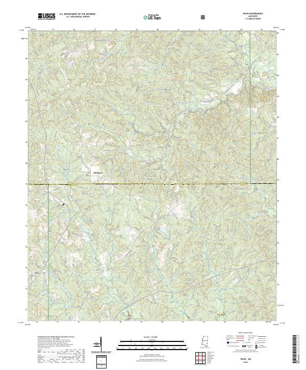
 1964 Piave1965 Print · USGSMississippi's piney woods come into focus during the mid-sixties, capturing the rural landscape of the Wayne and Greene county border. Researchers can locate the community of Piave, find Henderson Cem, and trace the paths of Hell Hole Creek and Turkey Fork.4 unique versions available
 - 1984 Map of Citronelle
 1984 Citronelle1984 Print · USGSThe Alabama-Mississippi borderlands in the mid-1980s were a hub of timber and rail, spanning from the Leaf River to the Mobile County line. Genealogists can trace family roots through rural communities like Sims Chapel, Leakesville, and Vinegar Bend.2 unique versions available
 - 1984 Map of Hattiesburg
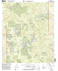
 1984 Hattiesburg1984 Print · USGSSouth Mississippi’s Pine Belt is seen here in the mid-eighties, showing the region as a hub of timber production and petroleum extraction. Trace the rail lines of the Illinois Central Gulf RR through old settlements like Richton or the energy developments at the Heidelberg Oil Field.2 unique versions available
 - 2000 Map of Piave, 2002 Print
 2000 Piave2002 Print · USGSMississippi's piney woods and wildlife areas are captured here at the turn of the millennium. Genealogists and historians can trace the roads near Piave, Smithtown, and the Henderson Cem within the De Soto National Forest.
 - 2012 Map of Piave, 2012 Print
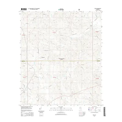
 2012 Piave2012 Print · USGSCovers Smithtown, including Piave, Wayne County, and other nearby areas
 - 2015 Map of Piave, 2015 Print
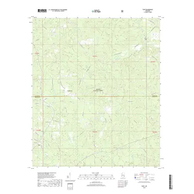
 2015 Piave2015 Print · USGSCovers Smithtown, including Piave, Wayne County, and other nearby areas
 - 2018 Map of Piave, 2018 Print
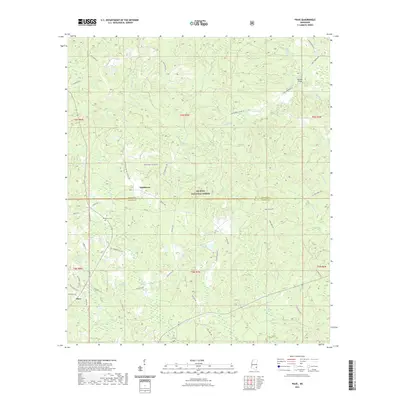
 2018 Piave2018 Print · USGSCovers Smithtown, including Piave, Wayne County, and other nearby areas
 - 2021 Map of Piave, 2021 Print
 2021 Piave2021 Print · USGSCovers Smithtown, including Piave, Wayne County, and other nearby areas
 - 2024 Map of Piave, 2024 Print
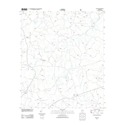
 2024 Piave2024 Print · USGSThe rural borderlands of Wayne and Greene Counties come into focus in this 2020s survey. Researchers can trace family history through local landmarks like Henderson Cem and name-bearing routes such as Sam Swindle Rd or George Smith Rd.
End of results
Showing maps 1-11 of 11
Top cities near Smithtown
Frequently asked questions
- What are the different types of historical maps available for Smithtown?
- What is the oldest map of Smithtown?
- Where can I purchase historical maps of Smithtown for my home or office?
- Where can I download high-res historical maps of Smithtown?
- Are there historical topographic maps available for Smithtown?
- Is there historical aerial imagery available for Smithtown?
- Where are historical maps of Smithtown sourced from?