Old Maps of Tinsley, Mississippi for Academic Research
Study the evolution of Tinsley with 11 high-resolution historic maps. Whether you're teaching, researching, or modeling changes in land use, these maps provide essential visual documentation of urban, environmental, and geographic change.
- Analyze long-term change: Track patterns in development, transportation, and natural features.
- Ideal for environmental or urban studies: Support academic projects with primary historical map data.
- Use in the classroom or lab: Educators and researchers rely on these maps to bring historical context to life.
These maps are a powerful tool for teaching, research, and visualizing how Tinsley has changed over the decades.
Tinsley, MS maps
(11)- 1955 Map of Jackson
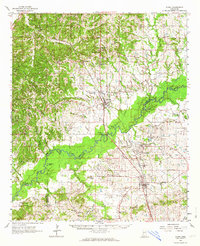
 1955 Jackson1955 Print · USGSThe Lower Mississippi Valley at the middle of the century reveals a landscape of deep river meanders and growing rail hubs. Genealogists and historians can trace the mid-century footprints of Vicksburg National Military Park, old river landings at Port Gibson, and the rail corridors of the Illinois Central Railroad.3 unique versions available
 - 1961 Map of Jackson
 1961 Jackson1961 Print · USGSThe Lower Mississippi Delta and the state capital area are captured here during the post-war era of infrastructure expansion. Researchers can trace the complex river oxbows and rail lines connecting Vicksburg, Yazoo City, and the Illinois Central Railroad network.
 - 1962 Map of Jackson
 1962 Jackson1962 Print · USGSThe Mississippi Delta and the state capital region are mapped here in the early sixties, showing a landscape defined by the great river and the growing city of JACKSON. Genealogists can trace family roots through numerous landmarks like Cedar Hill Cem, rural stops on the Illinois Central RR, and historic sites like Champion Hill.2 unique versions available
 - 1962 Map of Flora, 1964 Print
 1962 Flora1964 Print · USGSMadison and Yazoo counties in the early sixties reveal a landscape of river-bottom farms and emerging industry along the rail lines. Local historians can trace old community ties through sites like Coxs Ferry, Kearney Park, and Old Liberty Ch Cem.2 unique versions available
 - 1984 Map of Yazoo City
 1984 Yazoo City1984 Print · USGSThe Mississippi Delta and loess bluffs meet in the mid-eighties as the Yazoo River snakes through a dense network of wildlife areas and rail lines. Researchers can trace rural life and drainage history through small communities like Holly Bluff, Mechanicsburg, and Satartia.2 unique versions available
 - 1988 Map of Tinsley, 1989 Print
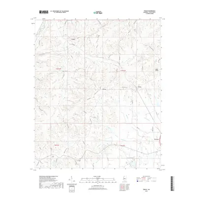
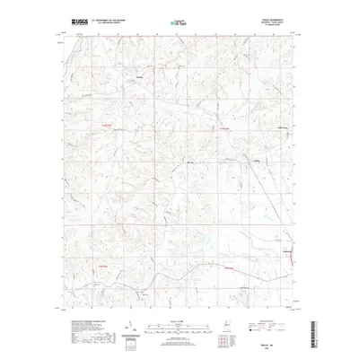
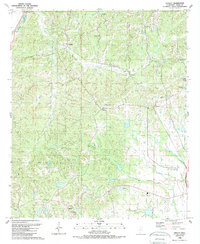 1988 Tinsley1989 Print · USGSYazoo County at the end of the eighties shows a landscape of petroleum production and rail-side settlements. Genealogists and local historians can trace rural roots through landmarks like Oil City, Gibbs Sch, and New Pleasant Grove Ch.
 - 2012 Map of Tinsley, 2012 Print
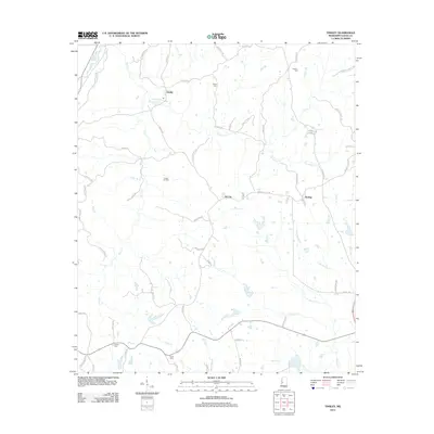 2012 Tinsley2012 Print · USGSCovers Tinsley, including Bentonia, Anding, and other nearby areas
 - 2015 Map of Tinsley, 2015 Print
 2015 Tinsley2015 Print · USGSCovers Tinsley, including Bentonia, Anding, and other nearby areas
 - 2018 Map of Tinsley, 2018 Print
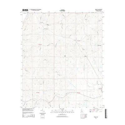
 2018 Tinsley2018 Print · USGSCovers Tinsley, including Bentonia, Anding, and other nearby areas
 - 2020 Map of Tinsley, 2020 Print
 2020 Tinsley2020 Print · USGSCovers Tinsley, including Bentonia, Anding, and other nearby areas
 - 2024 Map of Tinsley, 2024 Print
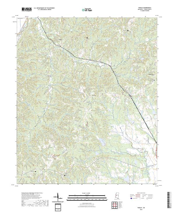 2024 Tinsley2024 Print · USGSYazoo County's rural communities and oil-field heritage are recorded in this recent survey of the Mississippi hills. Researchers can locate family landmarks such as Cessna Cem and Ogden Cem or trace the early paths of Oil City and Anding.
End of results
Showing maps 1-11 of 11
Top cities near Tinsley
Frequently asked questions
- What are the different types of historical maps available for Tinsley?
- What is the oldest map of Tinsley?
- Where can I purchase historical maps of Tinsley for my home or office?
- Where can I download high-res historical maps of Tinsley?
- Are there historical topographic maps available for Tinsley?
- Is there historical aerial imagery available for Tinsley?
- Where are historical maps of Tinsley sourced from?