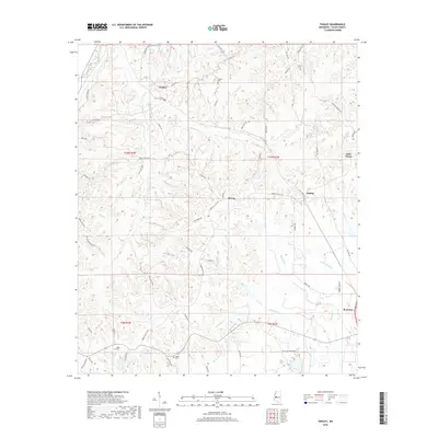
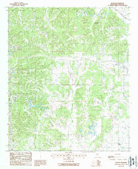
2018 Map of Tinsley
USGS Topo · Published 2018About this map
Bentonia and Little Yazoo anchor the eastern edge of this Yazoo County landscape, where the land begins its transition toward the Mississippi Delta. The terrain is defined by a dense network of drainage, with Mound Cr, Sandy Cr, and Scotland Cr carving through the loess hills. These watercourses have historically shaped the settlement patterns and road networks, such as Terrell Rd and Old Hwy 49, which follow the higher ground between the creek bottoms.
Find a feature on this map
65 named features on this map. Tap any name to fly to it.
Don’t see what you’re looking for? This feature index may not catch every label — zoom into the map to look around manually.
Map Details
Editions of this 2018 Tinsley Map
This is the sole edition of this map. No revisions or reprints were ever made.
Other maps of this area
1940 · Mechanicsburg
USGS Topo · 1:62,500

1955 · Jackson
USGS Topo · 1:250,000

1961 · Jackson
USGS Topo · 1:250,000
1961 · Bayland
USGS Topo · 1:62,500
1961 · Valley
USGS Topo · 1:62,500
1962 · Jackson
USGS Topo · 1:250,000
1962 · Flora
USGS Topo · 1:62,500
1963 · Mechanicsburg
USGS Topo · 1:62,500
1984 · Yazoo City
USGS Topo · 1:100,000
1988 · Benton
USGS Topo · 1:24,000