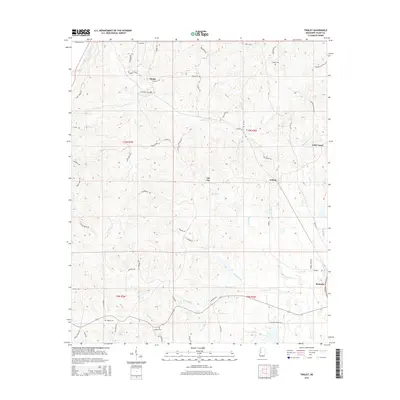
2015 Map of Tinsley
USGS Topo · Published 2015About this map
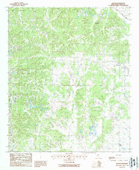
Bentonia anchors the southeastern corner of this Yazoo County landscape, where the flatlands meet the dissected uplands of central Mississippi. The terrain is defined by a dense network of drainages, including Mound Cr and Sandy Creek, which have carved deep contours into the earth. Smaller settlements like Tinsley, Anding, and the evocatively named Oil City dot the interior, connected by a web of local routes such as Tinsley Rd and Old MS-49. Genealogists will find several notable burial sites preserved here, including Hudson Cem, Cessna Cem, and Ogden Cem. The map illustrates the persistent rural character of the region, where legacy place names like Stevens and Little Yazoo remain as markers of local identity amidst the complex topography of the Magnolia State's hill country.
Find a feature on this map
67 named features on this map. Tap any name to fly to it.
Don’t see what you’re looking for? This feature index may not catch every label — zoom into the map to look around manually.
Map Details
Editions of this 2015 Tinsley Map
This is the sole edition of this map. No revisions or reprints were ever made.
Other maps of this area
1940 · Mechanicsburg
USGS Topo · 1:62,500

1955 · Jackson
USGS Topo · 1:250,000

1961 · Jackson
USGS Topo · 1:250,000
1961 · Bayland
USGS Topo · 1:62,500
1961 · Valley
USGS Topo · 1:62,500
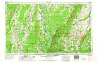
1962 · Jackson
USGS Topo · 1:250,000
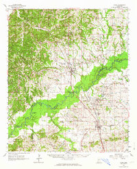
1962 · Flora
USGS Topo · 1:62,500
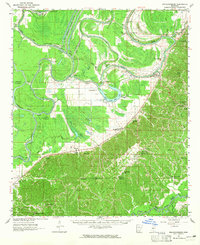
1963 · Mechanicsburg
USGS Topo · 1:62,500
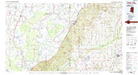
1984 · Yazoo City
USGS Topo · 1:100,000
1988 · Benton
USGS Topo · 1:24,000