Old Maps of Laddonia, Missouri
Explore 16 old maps of Laddonia, spanning from 1890 to today. These high-resolution historic maps reveal how streets, neighborhoods, landmarks, and natural features evolved over time — perfect for genealogy, metal detecting, research, and local history exploration.
What you can do with these maps:
- See how Laddonia changed over time: Compare historical maps to modern-day views to trace roads, homesites, rail lines & more.
- View detailed metadata: Each map includes creators, publishers, year, scale, and archive source.
- Overlay maps with satellite & LiDAR: Visualize the past alongside modern tools to explore terrain & human change.
- Trusted historical sources: Maps sourced from the USGS, Library of Congress, and other archives.
- Access maps your way: View online, download high-res files, or order prints for personal or research use.
Start exploring old maps of Laddonia to uncover forgotten places, hidden landmarks, and the deep history beneath your feet.
Laddonia, MO maps
(16)- 1890 Map of Mexico
 1890 Mexico1890 Print · USGSMid-Missouri was a bustling junction of rail and river in the late 1880s, where iron rails began to reshape the old prairie. Genealogists can trace family roots in early settlements like Mexico, Laddonia, and the rural community at Shamrock P.O..5 unique versions available
 - 1942 Map of Wellsville
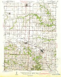 1942 Wellsville1942 Print · USGSMid-Missouri's rail-and-river landscape is meticulously detailed here just before the war, showcasing the busy corridors of the Alton and Wabash lines. Researchers can trace rural life through dozens of local landmarks like Chapel Grove Sch, the Laclede Christy Mine, and Shamrock.2 unique versions available
 - 1945 Map of Perry
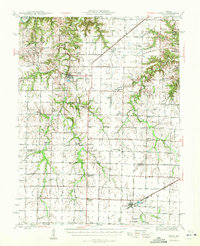 1945 Perry1945 Print · USGSNortheast Missouri’s agricultural heartland is documented here in the mid-1940s as the rail era began to fade. Researchers can trace dozens of vanished country schoolhouses like Oakdale Sch and early rural churches including Corinth Ch and Prairie View Ch.3 unique versions available
 - 1948 Map of Quincy
 1948 Quincy1948 Print · USGSThe Mississippi and Illinois River valleys are captured at a post-war crossroads as rail and river travel met the expanding highway system. Genealogists can trace family settlements from Quincy to Hannibal and smaller towns like Vandalia and Jerseyville.2 unique versions available
 - 1956 Map of Quincy, 1967 Print
 1956 Quincy1967 Print · USGSThe river and rail corridors of the Illinois-Missouri border are documented here during the mid-1950s. Researchers can trace historic river landings and regional transit hubs from Quincy and Hannibal to smaller settlements like Meredosia and Roodhouse.3 unique versions available
 - 1973 Map of Laddonia, 1975 Print
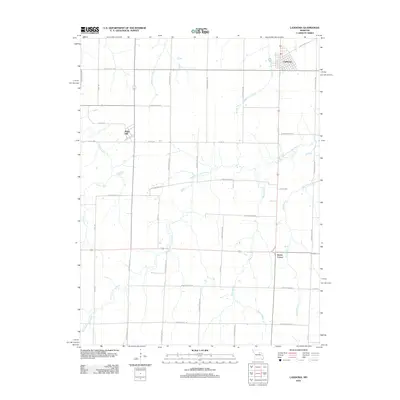
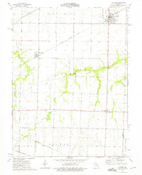 1973 Laddonia1975 Print · USGSAudrain County agriculture and transit dominate this mid-seventies landscape near the Montgomery County line. Researchers can trace the intersections of three major railroads and find local landmarks like the R-6 Sch, Rush Hill, and Scotts Corner.
 - 1973 Map of Hutchison, 1975 Print
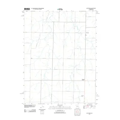
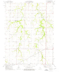 1973 Hutchison1975 Print · USGSThe rural expanse of Audrain County comes to life in the early 1970s, showcasing the intricate drainage of the Salt River. Genealogists and local historians can trace family roots through landmarks like Hutchison, Prairie View Ch, and Unity Cem.
 - 1986 Map of Mexico
 1986 Mexico1986 Print · USGSEast Central Missouri in the mid-eighties shows a landscape of steady agricultural towns and the expansive waters of Mark Twain Lake. Genealogists and historians can trace rail-side communities like Laddonia and Wellsville or locate family markers at Elwood Cem.2 unique versions available
 - 2012 Map of Hutchison, 2012 Print
 2012 Hutchison2012 Print · USGSCovers Laddonia, including Hutchison, Bassinger Corner, and other nearby areas
 - 2012 Map of Laddonia, 2012 Print
 2012 Laddonia2012 Print · USGSCovers Laddonia, including Rush Hill, Scotts Corner, and other nearby areas
 - 2015 Map of Hutchison, 2015 Print
 2015 Hutchison2015 Print · USGSCovers Laddonia, including Hutchison, Bassinger Corner, and other nearby areas
 - 2015 Map of Laddonia, 2015 Print
 2015 Laddonia2015 Print · USGSCovers Laddonia, including Rush Hill, Scotts Corner, and other nearby areas
 - 2017 Map of Hutchison, 2017 Print
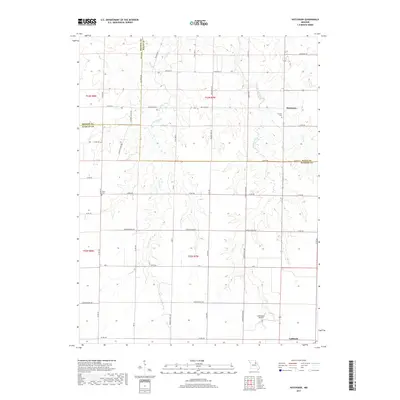 2017 Hutchison2017 Print · USGSCovers Laddonia, including Hutchison, Bassinger Corner, and other nearby areas
 - 2017 Map of Laddonia, 2017 Print
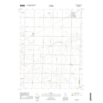 2017 Laddonia2017 Print · USGSCovers Laddonia, including Rush Hill, Scotts Corner, and other nearby areas
 - 2021 Map of Laddonia, 2021 Print
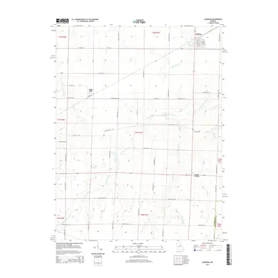
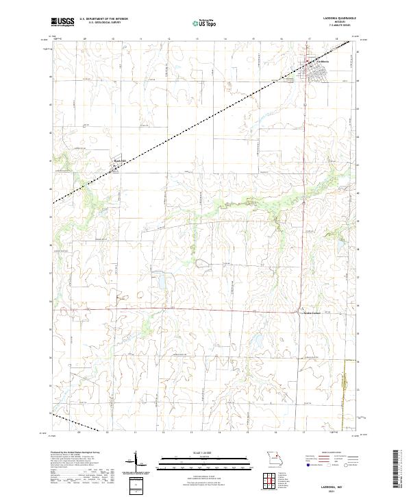 2021 Laddonia2021 Print · USGSAudrain County agriculture and rural life are captured here during the early 2020s. Researchers can trace local property access and terrain features from the streets of Laddonia to the banks of the W Fork Cuivre River and Moms Slough.
 - 2021 Map of Hutchison, 2021 Print
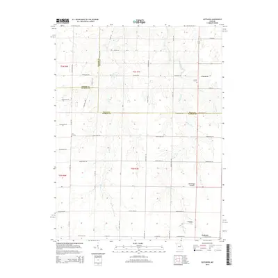
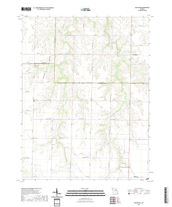 2021 Hutchison2021 Print · USGSAudrain County and its neighbors are captured here in the early 2020s, showcasing a landscape defined by traditional agriculture and small-town Missouri life. Researchers can trace local heritage through sites like Corinth Cemetery, the settlement of Hutchison, and Schlemmer Airport.
End of results
Showing maps 1-16 of 16
Top cities near Laddonia
- Mexico historical maps
- Vandalia historical maps
- Wellsville historical maps
- Perry historical maps
- Farber historical maps
- Martinsburg historical maps
See more
Frequently asked questions
- What are the different types of historical maps available for Laddonia?
- What is the oldest map of Laddonia?
- Where can I purchase historical maps of Laddonia for my home or office?
- Where can I download high-res historical maps of Laddonia?
- Are there historical topographic maps available for Laddonia?
- Is there historical aerial imagery available for Laddonia?
- Where are historical maps of Laddonia sourced from?