Old Maps of Middletown, Missouri
Explore 16 old maps of Middletown, spanning from 1890 to today. These high-resolution historic maps reveal how streets, neighborhoods, landmarks, and natural features evolved over time — perfect for genealogy, metal detecting, research, and local history exploration.
What you can do with these maps:
- See how Middletown changed over time: Compare historical maps to modern-day views to trace roads, homesites, rail lines & more.
- View detailed metadata: Each map includes creators, publishers, year, scale, and archive source.
- Overlay maps with satellite & LiDAR: Visualize the past alongside modern tools to explore terrain & human change.
- Trusted historical sources: Maps sourced from the USGS, Library of Congress, and other archives.
- Access maps your way: View online, download high-res files, or order prints for personal or research use.
Start exploring old maps of Middletown to uncover forgotten places, hidden landmarks, and the deep history beneath your feet.
Middletown, MO maps
(16)- 1890 Map of Louisiana
 1890 Louisiana1890 Print · USGSUpper Missouri and Illinois river country in the 1890s is captured here at the height of the steam-rail era. Genealogists can trace family roots through old rural outposts like New Harmony, Prairieville, and the transit hub at Bowling Green.5 unique versions available
 - 1942 Map of Bellflower, 1966 Print
 1942 Bellflower1966 Print · USGSEastern Missouri farm country is captured here during the early years of the war, revealing a landscape defined by the Cuivre River and the Chicago Burlington and Quincy rail line. Genealogists can locate family-named landmarks and rural hubs like Middletown, Smyrna Ch, and the Prairie Flower Sch.
 - 1945 Map of Bellflower
 1945 Bellflower1945 Print · USGSThe rural borderlands of Montgomery, Audrain, and Pike counties are captured here in the mid-1940s as a network of tightly-knit farming communities. Genealogists can trace family footprints through dozens of local landmarks, including Payne Cem, Smyrna Ch, and the many namesake schoolhouses like Mudd Sch.2 unique versions available
 - 1948 Map of Quincy
 1948 Quincy1948 Print · USGSThe Mississippi and Illinois River valleys are captured at a post-war crossroads as rail and river travel met the expanding highway system. Genealogists can trace family settlements from Quincy to Hannibal and smaller towns like Vandalia and Jerseyville.2 unique versions available
 - 1956 Map of Quincy, 1967 Print
 1956 Quincy1967 Print · USGSThe river and rail corridors of the Illinois-Missouri border are documented here during the mid-1950s. Researchers can trace historic river landings and regional transit hubs from Quincy and Hannibal to smaller settlements like Meredosia and Roodhouse.3 unique versions available
 - 1973 Map of Buell, 1977 Print
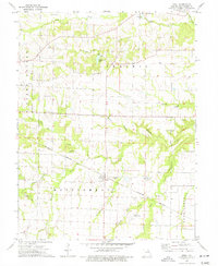 1973 Buell1977 Print · USGSThe Montgomery County prairie and its rail corridors are captured here in the early 1970s. Researchers can locate family landmarks like McQuoid Cem and Hopewell Ch, or trace the path of the Burlington Northern through Buell.2 unique versions available
 - 1973 Map of Middletown, 1977 Print
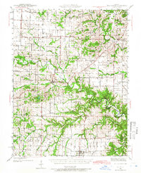
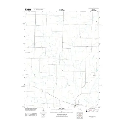
 1973 Middletown1977 Print · USGSThe tri-county borderlands of Montgomery, Pike, and Audrain counties are detailed here during the early 1970s. Researchers can locate specific rural landmarks like Central Union Ch, the Rudd School, and the Payne Cem along the winding West Fork Cuivre River.
 - 1986 Map of Mexico
 1986 Mexico1986 Print · USGSEast Central Missouri in the mid-eighties shows a landscape of steady agricultural towns and the expansive waters of Mark Twain Lake. Genealogists and historians can trace rail-side communities like Laddonia and Wellsville or locate family markers at Elwood Cem.2 unique versions available
 - 2012 Map of Buell, 2012 Print
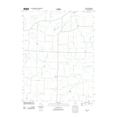 2012 Buell2012 Print · USGSCovers Middletown, including Buell, Montgomery County, and other nearby areas
 - 2012 Map of Middletown, 2012 Print
 2012 Middletown2012 Print · USGSCovers Middletown, including Estes, Gazette, and other nearby areas
 - 2014 Map of Buell, 2014 Print
 2014 Buell2014 Print · USGSCovers Middletown, including Buell, Montgomery County, and other nearby areas
 - 2014 Map of Middletown, 2014 Print
 2014 Middletown2014 Print · USGSCovers Middletown, including Estes, Gazette, and other nearby areas
 - 2017 Map of Buell, 2017 Print
 2017 Buell2017 Print · USGSCovers Middletown, including Buell, Montgomery County, and other nearby areas
 - 2017 Map of Middletown, 2017 Print
 2017 Middletown2017 Print · USGSCovers Middletown, including Estes, Gazette, and other nearby areas
 - 2021 Map of Middletown, 2021 Print
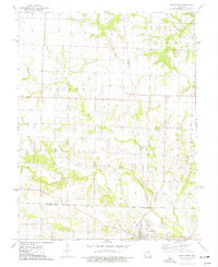
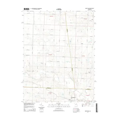
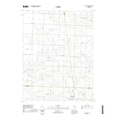
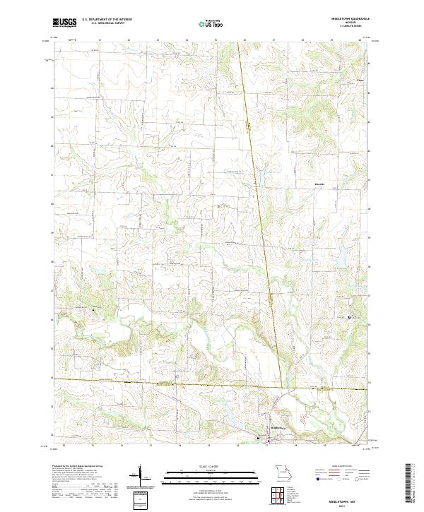 2021 Middletown2021 Print · USGSMiddletown and its surrounding tri-county farm country are captured here in the early twenty-first century. Researchers can trace family-named sites and rural landmarks like Payne Cem, Rudd School Cem, and the small community of Gazette.
 - 2021 Map of Buell, 2021 Print
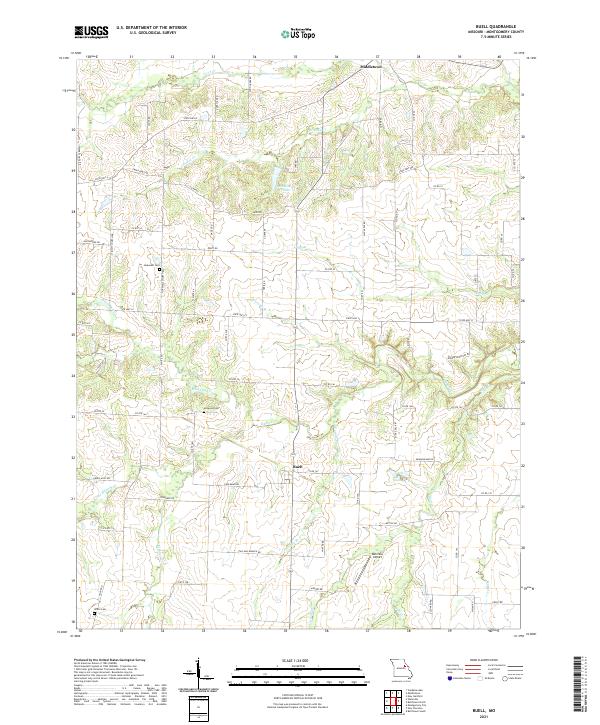 2021 Buell2021 Print · USGSNortheast Montgomery County is shown here in the early 2020s as a region defined by its numerous creek systems and small rural settlements. Researchers can locate several burial grounds like Hopewell Cem and Mcquoid Cem, alongside landmarks such as Middletown Lake.
End of results
Showing maps 1-16 of 16
Top cities near Middletown
- Bowling Green historical maps
- Vandalia historical maps
- Montgomery City historical maps
- Wellsville historical maps
- New Florence historical maps
- Laddonia historical maps
See more
Frequently asked questions
- What are the different types of historical maps available for Middletown?
- What is the oldest map of Middletown?
- Where can I purchase historical maps of Middletown for my home or office?
- Where can I download high-res historical maps of Middletown?
- Are there historical topographic maps available for Middletown?
- Is there historical aerial imagery available for Middletown?
- Where are historical maps of Middletown sourced from?