Old Maps of Truxton, Missouri
Explore 24 old maps of Truxton, spanning from 1890 to today. These high-resolution historic maps reveal how streets, neighborhoods, landmarks, and natural features evolved over time — perfect for genealogy, metal detecting, research, and local history exploration.
What you can do with these maps:
- See how Truxton changed over time: Compare historical maps to modern-day views to trace roads, homesites, rail lines & more.
- View detailed metadata: Each map includes creators, publishers, year, scale, and archive source.
- Overlay maps with satellite & LiDAR: Visualize the past alongside modern tools to explore terrain & human change.
- Trusted historical sources: Maps sourced from the USGS, Library of Congress, and other archives.
- Access maps your way: View online, download high-res files, or order prints for personal or research use.
Start exploring old maps of Truxton to uncover forgotten places, hidden landmarks, and the deep history beneath your feet.
Truxton, MO maps
(24)- 1890 Map of Louisiana
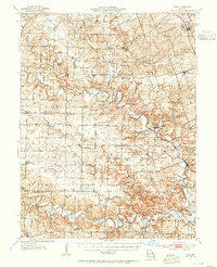
 1890 Louisiana1890 Print · USGSUpper Missouri and Illinois river country in the 1890s is captured here at the height of the steam-rail era. Genealogists can trace family roots through old rural outposts like New Harmony, Prairieville, and the transit hub at Bowling Green.5 unique versions available
 - 1890 Map of Hermann
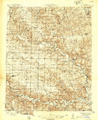
 1890 Hermann1890 Print · USGSMid-Missouri river life and rail commerce define this late-century landscape during a period of steady expansion. Genealogists and historians can trace family roots through old post offices like Hopewell Academy P.O. and Swiss P.O. or the early street grids of Hermann and Warrenton.5 unique versions available
 - 1937 Map of Silex, 1955 Print
 1937 Silex1955 Print · USGSLincoln and Pike counties are shown here in the mid-1930s, when the agricultural economy was centered on the banks of the Cuivre River. Genealogists and local historians can trace rural school districts and old fords, such as Abe Duff Sch, Silex, and Richardson Mill Ford.
 - 1939 Map of Silex
 1939 Silex1939 Print · USGSLincoln and Pike Counties are shown in the late 1930s, featuring a landscape defined by the winding Cuivre River and its many forks. Researchers can trace rural life through dozens of local landmarks like Forest Cem Sch, Fairview Ch, and the St Louis and Hannibal RR.
 - 1943 Map of Warrenton, 1962 Print
 1943 Warrenton1962 Print · USGSMissouri's rural heartland is meticulously detailed in the early 1940s, showing the vital rail corridors and crossroads communities of Warren and Lincoln counties. Genealogists and historians can locate dozens of small schoolhouses like Weeks Sch and Moore Sch alongside the tracks of the Wabash RR.2 unique versions available
 - 1945 Map of Warrenton
 1945 Warrenton1945 Print · USGSWarrenton and Wright City thrive along the Wabash rail line in the mid-1940s, surrounded by a dense network of Missouri country schools and rural churches. Genealogists can trace family landmarks like Camp Branch Cem, Zion Ch, and the Goat Spring Sch.2 unique versions available
 - 1948 Map of Quincy
 1948 Quincy1948 Print · USGSThe Mississippi and Illinois River valleys are captured at a post-war crossroads as rail and river travel met the expanding highway system. Genealogists can trace family settlements from Quincy to Hannibal and smaller towns like Vandalia and Jerseyville.2 unique versions available
 - 1949 Map of Saint Louis
 1949 Saint Louis1949 Print · USGSGreater St. Louis and its surrounding river valleys are captured here just after the war, showing the metropolitan core and the rural Ozark fringe. Researchers can trace the sprawling rail network of the Wabash RR or locate landmarks like Meramec Caverns Airport and Scott Air Force Base.2 unique versions available
 - 1956 Map of Quincy, 1967 Print
 1956 Quincy1967 Print · USGSThe river and rail corridors of the Illinois-Missouri border are documented here during the mid-1950s. Researchers can trace historic river landings and regional transit hubs from Quincy and Hannibal to smaller settlements like Meredosia and Roodhouse.3 unique versions available
 - 1962 Map of St. Louis
 1962 St. Louis1962 Print · USGSThe mid-century gateway to the west shows the metropolitan expansion of St Louis alongside its critical river confluences. Genealogists and historians can trace the rail corridors of the Missouri Pacific RR and settlements from Fulton to De Soto.
 - 1963 Map of St. Louis, 1970 Print
 1963 St. Louis1970 Print · USGSSt. Louis and its surrounding river valleys are captured here during the peak of mid-century suburban expansion and industrial activity. Trace the historic rail routes of the Norfolk and Western Ry or locate the St Louis Ordnance Plant and early stretches of US Highway 66.4 unique versions available
 - 1966 Map of St. Louis
 1966 St. Louis1966 Print · USGSThe St. Louis metropolitan area and its surrounding river valleys are captured here during the mid-sixties era of suburban growth and industrial strength. Genealogists and historians can trace the foundations of local communities through sites like Old Pioneer Cem, Parks College, and the Jefferson Barracks Military Reservation.
 - 1973 Map of Hawk Point, 1974 Print
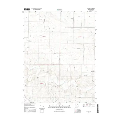
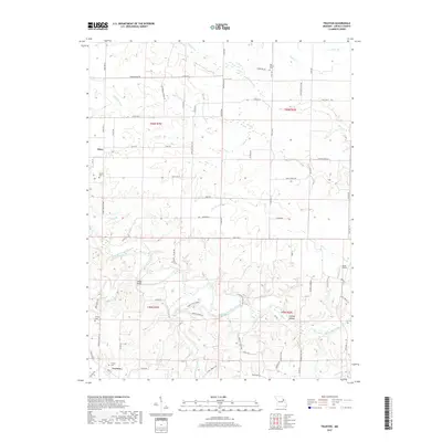
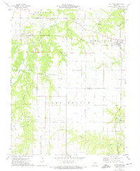 1973 Hawk Point1974 Print · USGSHawk Point and the surrounding Lincoln and Warren County borderlands are shown in the early seventies during a period of steady rural development. Researchers can trace family sites at Hawk Point Cem, follow the Burlington Northern rail line, or locate the Weeks Community Center.2 unique versions available
 - 1975 Map of Truxton, 1977 Print
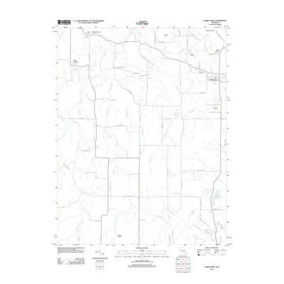
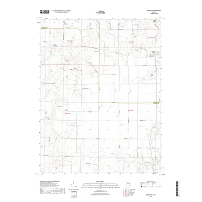
 1975 Truxton1977 Print · USGSLincoln County in the 1970s reveals a quiet landscape of prairie rivers and established crossroads like Truxton and Olney. Genealogists and historians can locate rural burial grounds including Old Liberty Cem and trace early resource sites such as the Claypits.2 unique versions available
 - 1985 Map of Fulton
 1985 Fulton1985 Print · USGSMid-Missouri was a hub of river commerce and rail travel in the mid-1980s, where towns like Fulton and Hermann anchored the river valley. Researchers can trace historic river islands like Rush Island or follow the path of the Missouri - Kansas - Texas Railroad.2 unique versions available
 - 1986 Map of Mexico
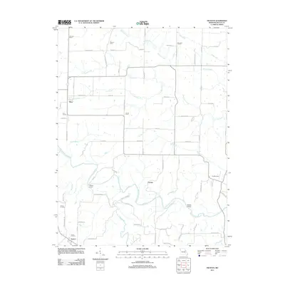
 1986 Mexico1986 Print · USGSEast Central Missouri in the mid-eighties shows a landscape of steady agricultural towns and the expansive waters of Mark Twain Lake. Genealogists and historians can trace rail-side communities like Laddonia and Wellsville or locate family markers at Elwood Cem.2 unique versions available
 - 2012 Map of Hawk Point, 2012 Print
 2012 Hawk Point2012 Print · USGSCovers Truxton, including Hawk Point, New Truxton, and other nearby areas
 - 2012 Map of Truxton, 2012 Print
 2012 Truxton2012 Print · USGSCovers Truxton, including Fairview, Olney, and other nearby areas
 - 2014 Map of Truxton, 2014 Print
 2014 Truxton2014 Print · USGSCovers Truxton, including Fairview, Olney, and other nearby areas
 - 2015 Map of Hawk Point, 2015 Print
 2015 Hawk Point2015 Print · USGSCovers Truxton, including Hawk Point, New Truxton, and other nearby areas
 - 2017 Map of Hawk Point, 2017 Print
 2017 Hawk Point2017 Print · USGSCovers Truxton, including Hawk Point, New Truxton, and other nearby areas
 - 2017 Map of Truxton, 2017 Print
 2017 Truxton2017 Print · USGSCovers Truxton, including Fairview, Olney, and other nearby areas
 - 2021 Map of Truxton, 2021 Print
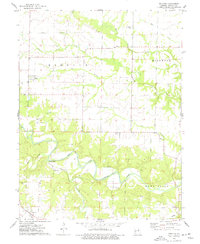
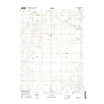
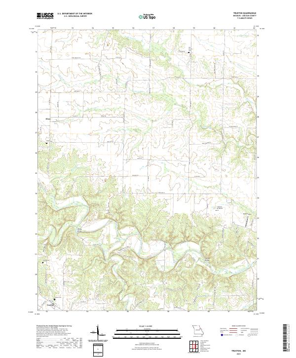 2021 Truxton2021 Print · USGSLincoln County, Missouri, is captured here in a detailed survey of the rural landscape between Truxton and Olney. Researchers can trace family history at the Old Liberty Cem or locate historical landmarks like Millsap Bridge along the West Fork Cuivre River.
 - 2021 Map of Hawk Point, 2021 Print
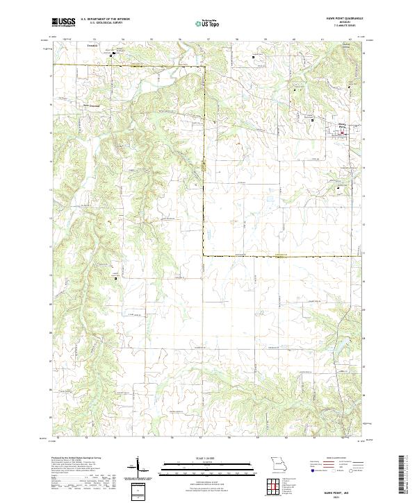 2021 Hawk Point2021 Print · USGSLincoln and Warren Counties are captured here in a contemporary rural light, showing the enduring agricultural character of the Missouri interior. Researchers can find numerous family burial sites like Anson Cemetery and landmarks such as Cannon Spring or Starkey Hollow.
End of results
Showing maps 1-24 of 24
Top cities near Truxton
- Troy historical maps
- Warrenton historical maps
- Wright City historical maps
- New Florence historical maps
- Jonesburg historical maps
- Truesdale historical maps
See more
Frequently asked questions
- What are the different types of historical maps available for Truxton?
- What is the oldest map of Truxton?
- Where can I purchase historical maps of Truxton for my home or office?
- Where can I download high-res historical maps of Truxton?
- Are there historical topographic maps available for Truxton?
- Is there historical aerial imagery available for Truxton?
- Where are historical maps of Truxton sourced from?