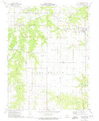
1973 Map of Hawk Point
USGS Topo · Published 1974About this map
Hawk Point stands as the primary hub in this Missouri landscape, situated along the Burlington Northern railroad near the border of Lincoln and Warren counties. The agricultural character of the era is evident in the transition from the open Prairie in the north to the wooded drainages of Camp Branch in the south. Local community life is anchored by landmarks like Central Grove Ch and the Morsey Community Center, while the presence of a Quarry and Mine indicates the local industrial activity of the early 1970s.
Find a feature on this map
34 named features on this map. Tap any name to fly to it.
Don’t see what you’re looking for? This feature index may not catch every label — zoom into the map to look around manually.
Map Details
Editions of this 1973 Hawk Point Map
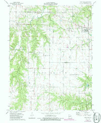
2 editions found
Other maps of this area

1890 · Louisiana
USGS Topo · 1:125,000

1890 · Hermann
USGS Topo · 1:125,000

1937 · Silex
USGS Topo · 1:62,500

1939 · Silex
USGS Topo · 1:48,000

1942 · New Florence
USGS Topo · 1:62,500

1942 · Bellflower
USGS Topo · 1:62,500

1943 · Warrenton
USGS Topo · 1:62,500

1945 · Bellflower
USGS Topo · 1:62,500

1945 · Warrenton
USGS Topo · 1:62,500

1946 · New Florence
USGS Topo · 1:62,500