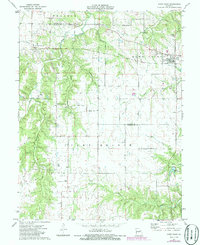
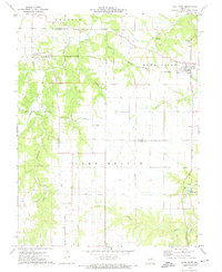
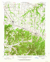
1973 Map of Hawk Point
USGS Topo · Published 1986About this map
Hawk Point serves as the primary hub in this corner of Lincoln County, situated at a highway junction that historically linked local farmers and travelers. The landscape transitions from the open expanses of Prairie in the northwest to the more dissected drainage basins of Camp Creek and Clear Creek. The map documents a community infrastructure rooted in local social centers, including the Morsey Community Center and Weeks Community Center, which likely served as anchors for the rural population living between Truxton and Morsey.
Find a feature on this map
33 named features on this map. Tap any name to fly to it.
Don’t see what you’re looking for? This feature index may not catch every label — zoom into the map to look around manually.
Map Details
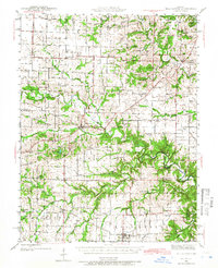
Editions of this 1973 Hawk Point Map
2 editions found
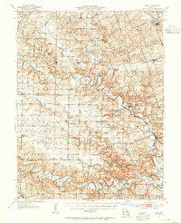
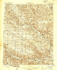
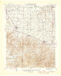
Other maps of this area

1890 · Louisiana
USGS Topo · 1:125,000

1890 · Hermann
USGS Topo · 1:125,000
1937 · Silex
USGS Topo · 1:62,500
1939 · Silex
USGS Topo · 1:48,000
1942 · New Florence
USGS Topo · 1:62,500
1942 · Bellflower
USGS Topo · 1:62,500

1943 · Warrenton
USGS Topo · 1:62,500

1945 · Bellflower
USGS Topo · 1:62,500

1945 · Warrenton
USGS Topo · 1:62,500
1946 · New Florence
USGS Topo · 1:62,500