Loading...
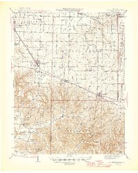
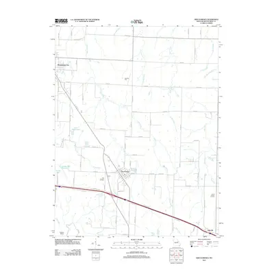
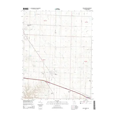
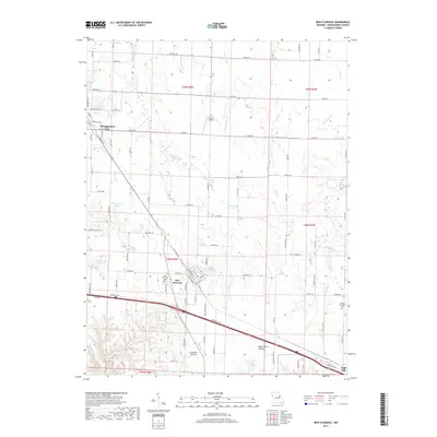
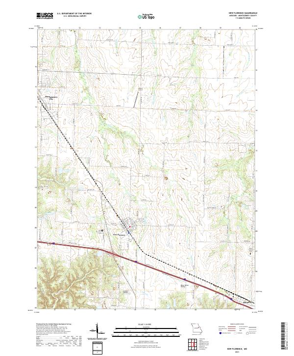
Loading map...1946 Map of New Florence
USGS Topo · Published 1946About this map
New Florence and Montgomery City serve as the primary hubs in this mid-century Missouri landscape, where the Wabash railroad corridor dictates the pattern of local commerce and growth. The southern portion of the map transitions into more broken terrain near the Loutre River, marked by prominent landmarks like The Pinnacle and Hugo Hill. This area is particularly dense with rural institutions, including a high concentration of country schoolhouses such as Orange Blossom Sch, Crabapple Sch, and Big Ebenezer Sch.
Find a feature on this map
89 named features on this map. Tap any name to fly to it.
Don’t see what you’re looking for? This feature index may not catch every label — zoom into the map to look around manually.
Map Details
Date Portrayed1946
Date Published1946
PublisherU.S. Geological Survey
Map TypeTopographic
Scale1:62,500
Physical Dimensions17.1 x 21.37 inches
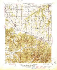
Editions of this 1946 New Florence Map
2 editions found
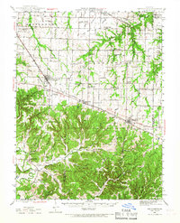
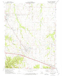
Historical Maps of Montgomery City Through Time
7 maps found
Featured Locations
Source Details
SourceU.S. Geological Survey
CopyrightPublic Domain