
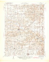
1945 Map of Bellflower
USGS Topo · Published 1945About this map
Bellflower and Middletown serve as central hubs in this mid-century Missouri landscape, where the Chicago Burlington and Quincy railroad cuts across the southern portion of the sheet. The map reveals a high density of rural educational and religious infrastructure, evidenced by dozens of named country schools like Hazel Dell Sch, Prairie Flower Sch, and Maple Grove Sch, alongside community landmarks such as Smyrna Ch and West Prairie Ch.
Find a feature on this map
68 named features on this map. Tap any name to fly to it.
Don’t see what you’re looking for? This feature index may not catch every label — zoom into the map to look around manually.
Map Details
Editions of this 1945 Bellflower Map
2 editions found
Other maps of this area

1890 · Louisiana
USGS Topo · 1:125,000

1890 · Mexico
USGS Topo · 1:125,000

1890 · Hermann
USGS Topo · 1:125,000

1890 · Fulton
USGS Topo · 1:125,000

1937 · Silex
USGS Topo · 1:62,500

1937 · Bowling Green
USGS Topo · 1:62,500

1939 · Silex
USGS Topo · 1:48,000

1940 · Bowling Green
USGS Topo · 1:62,500

1940 · Montgomery City
USGS Topo · 1:62,500

1942 · Montgomery City
USGS Topo · 1:62,500