2000s (21st Century) Maps of Truxton, Missouri
Explore 8 historic maps of Truxton from the 2000s (21st Century). These maps offer a rare glimpse into what life looked like during the 2000s — showing old roads, neighborhoods, homes, and landmarks that have changed or disappeared over time.
Whether you're researching your family's past, planning a metal detecting trip, or studying how Truxton's landscape evolved across the 2000s, these high-resolution maps are a powerful tool for exploring the history of this region.
- Focus on a specific era: All maps on this page are from the 2000s, giving you a focused view of this time period.
- See what’s changed: Compare century-old streets, trails, and buildings to today's modern landscape using overlays and satellite layers.
- Research with precision: Use these maps for genealogy, historical research, land use analysis, or educational projects.
- View, download, or print: Maps are fully viewable online in high resolution, and can be downloaded or printed for your own records.
Start exploring Truxton's history through authentic maps from the 2000s. This is your window into the past.
Truxton, MO maps
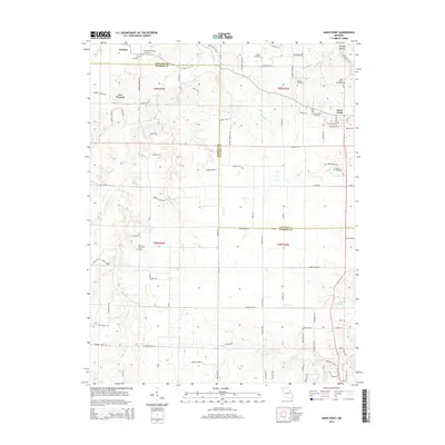
(8)- 2012 Map of Hawk Point, 2012 Print
 2012 Hawk Point2012 Print · USGSCovers Truxton, including Hawk Point, New Truxton, and other nearby areas
 - 2012 Map of Truxton, 2012 Print
 2012 Truxton2012 Print · USGSCovers Truxton, including Fairview, Olney, and other nearby areas
 - 2014 Map of Truxton, 2014 Print
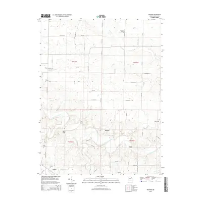 2014 Truxton2014 Print · USGSCovers Truxton, including Fairview, Olney, and other nearby areas
 - 2015 Map of Hawk Point, 2015 Print
 2015 Hawk Point2015 Print · USGSCovers Truxton, including Hawk Point, New Truxton, and other nearby areas
 - 2017 Map of Hawk Point, 2017 Print
 2017 Hawk Point2017 Print · USGSCovers Truxton, including Hawk Point, New Truxton, and other nearby areas
 - 2017 Map of Truxton, 2017 Print
 2017 Truxton2017 Print · USGSCovers Truxton, including Fairview, Olney, and other nearby areas
 - 2021 Map of Truxton, 2021 Print
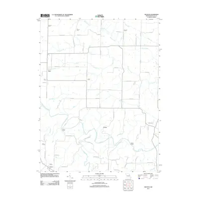
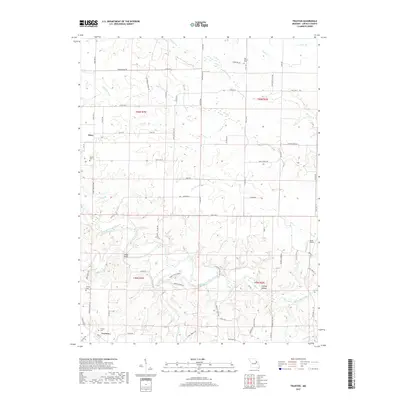
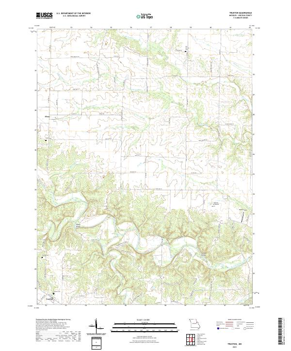 2021 Truxton2021 Print · USGSLincoln County, Missouri, is captured here in a detailed survey of the rural landscape between Truxton and Olney. Researchers can trace family history at the Old Liberty Cem or locate historical landmarks like Millsap Bridge along the West Fork Cuivre River.
 - 2021 Map of Hawk Point, 2021 Print
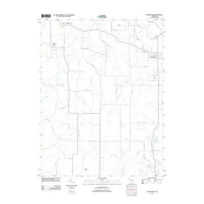
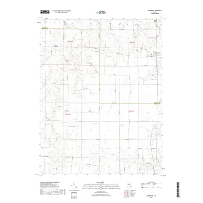
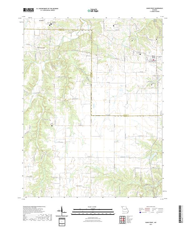 2021 Hawk Point2021 Print · USGSLincoln and Warren Counties are captured here in a contemporary rural light, showing the enduring agricultural character of the Missouri interior. Researchers can find numerous family burial sites like Anson Cemetery and landmarks such as Cannon Spring or Starkey Hollow.
End of results
Showing maps 1-8 of 8
Top cities near Truxton
- Troy historical maps
- Warrenton historical maps
- Wright City historical maps
- New Florence historical maps
- Jonesburg historical maps
- Truesdale historical maps
See more
Frequently asked questions
- What are the different types of historical maps available for Truxton?
- What is the oldest map of Truxton?
- Where can I purchase historical maps of Truxton for my home or office?
- Where can I download high-res historical maps of Truxton?
- Are there historical topographic maps available for Truxton?
- Is there historical aerial imagery available for Truxton?
- Where are historical maps of Truxton sourced from?