2020s Maps of Vandalia, Missouri
Explore 2 historic maps of Vandalia from the 2020s. These maps offer a rare glimpse into what life looked like during the 2020s — showing old roads, neighborhoods, homes, and landmarks that have changed or disappeared over time.
Whether you're researching your family's past, planning a metal detecting trip, or studying how Vandalia's landscape evolved across the 2020s, these high-resolution maps are a powerful tool for exploring the history of this region.
- Focus on a specific era: All maps on this page are from the 2020s, giving you a focused view of this time period.
- See what’s changed: Compare century-old streets, trails, and buildings to today's modern landscape using overlays and satellite layers.
- Research with precision: Use these maps for genealogy, historical research, land use analysis, or educational projects.
- View, download, or print: Maps are fully viewable online in high resolution, and can be downloaded or printed for your own records.
Start exploring Vandalia's history through authentic maps from the 2020s. This is your window into the past.
Vandalia, MO maps
(2)- 2021 Map of Vandalia, 2021 Print
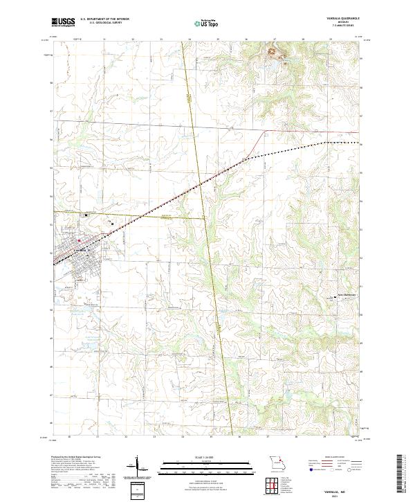 2021 Vandalia2021 Print · USGSThe community of Vandalia and the neighboring settlement of New Harmony appear here amidst a landscape of agricultural water management and family landmarks. Genealogists can locate burials at Vandalia Cem or trace the drainage of McDowell Br through the tri-county borderlands.
 - 2021 Map of Farber, 2021 Print
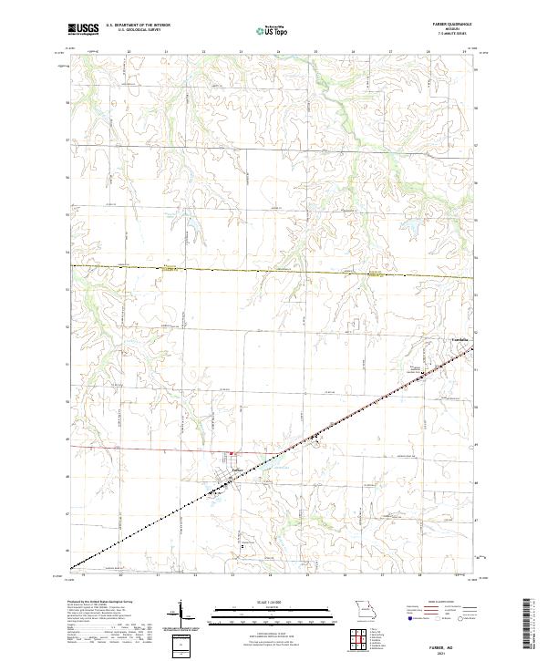 2021 Farber2021 Print · USGSSettlement and agriculture converge on the Missouri prairie in the 2020s. Researchers can trace local landmarks like Evergreen Memorial Gardens Cem, Alton Lake, and the rural crossroads of Farber and Vandalia.
End of results
Showing maps 1-2 of 2
Top cities near Vandalia
- Wellsville historical maps
- Perry historical maps
- Laddonia historical maps
- Center historical maps
- Farber historical maps
- Frankford historical maps
See more
Frequently asked questions
- What are the different types of historical maps available for Vandalia?
- What is the oldest map of Vandalia?
- Where can I purchase historical maps of Vandalia for my home or office?
- Where can I download high-res historical maps of Vandalia?
- Are there historical topographic maps available for Vandalia?
- Is there historical aerial imagery available for Vandalia?
- Where are historical maps of Vandalia sourced from?