Old Maps of Ionia, Missouri for Metal Detecting
Plan your next treasure hunt with 22 historic maps of Ionia. Find old homesites, ghost towns, trails, and gathering spots that may be lost to time — perfect for identifying promising metal detecting locations.
- Locate forgotten sites: Uncover places like long-lost settlements, abandoned rail lines, or gathering spots.
- Plan better hunts: Use map overlays combined with LiDAR or satellite views to narrow in on historically rich areas.
- Made for detectorists: Thousands of hobbyists use these maps to discover relics, coins, and hidden history.
Use these historic maps to boost your research and find new opportunities beneath the surface of Ionia.
Ionia, MO maps
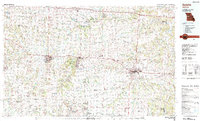
(22)- 1887 Map of Sedalia
 1887 Sedalia1887 Print · USGSIn the late nineteenth century, the rail corridors of central Missouri radiated from the bustling hub of Sedalia. Researchers can trace the development of early settlements like Georgetown and Houstonia along the Missouri Pacific Railroad.
 - 1887 Map of Warsaw
 1887 Warsaw1887 Print · USGSBenton County was a land of river junctions and railheads in the late 1880s. Local historians can trace the early footprints of Warsaw, the winding Missouri Pacific Railroad, and riverside settlements like Fairfield and Duroc.
 - 1894 Map of Warsaw
 1894 Warsaw1894 Print · USGSBenton County and its neighbors are shown here in the mid-1880s, centered on the river junctions that shaped early Missouri commerce. Genealogists can trace family roots through old rural centers like Fairfield, Boylers Mills, and Cross Timbers before the river valleys were transformed.4 unique versions available
 - 1894 Map of Sedalia
 1894 Sedalia1894 Print · USGSCentral Missouri's rail-and-river network is frozen in time during the late 19th century, centered on the growing hub of Sedalia. Researchers can trace the path of the Sedalia Warsaw And Southwestern RR and find vanished points like Dumpville and Mc Allister Springs.5 unique versions available
 - 1947 Map of Jefferson City, 1949 Print
 1947 Jefferson City1949 Print · USGSCentral Missouri and the northern Ozarks come into focus in this late 1940s survey of the river-and-rail landscape. Genealogists and historians can trace the growth of Jefferson City and Sedalia or locate family roots near Bagnell Dam and the Lake of the Ozarks.
 - 1948 Map of Green Ridge
 1948 Green Ridge1948 Print · USGSMid-Missouri farming and rail life are preserved here in the late 1940s, centered on the junction of three major railroads. Genealogists can locate dozens of rural landmarks, from the Quisenberry Cem to the one-room Prairie Flower Sch and McKee Chapel.2 unique versions available
 - 1954 Map of Jefferson City
 1954 Jefferson City1954 Print · USGSCentral Missouri in the early postwar years showcases a landscape defined by the winding Lake of the Ozarks and the state capital at Jefferson City. Researchers can trace the mid-century rail networks of the Missouri Pacific RR and locate rural communities like Tuscumbia, St Elizabeth, and St Anthony.2 unique versions available
 - 1955 Map of Jefferson City, 1967 Print
 1955 Jefferson City1967 Print · USGSCentral Missouri in the mid-fifties is defined by the winding Missouri River and the expanding reach of Lake of the Ozarks. Researchers can trace the rail corridors of the Missouri Pacific or locate the early footprint of Whiteman AFB and Jefferson City.4 unique versions available
 - 1958 Map of Jefferson City
 1958 Jefferson City1958 Print · USGSCentral Missouri in the late fifties shows a region transforming through the growth of Whiteman Air Force Base and the Lake of the Ozarks. Researchers can trace rail lines like the Missouri Pacific or find family roots at Enloe Cemetery and Mount Pleasant Cem.
 - 1959 Map of Jefferson City
 1959 Jefferson City1959 Print · USGSCentral Missouri is captured during the mid-fifties as the river economy and rail networks like the Missouri Pacific met the rise of the automobile. Local researchers can trace family landmarks and rural infrastructure from the Lake of the Ozarks up to Providence Cemetery and Knob Noster State Park.
 - 1961 Map of Lincoln, 1962 Print
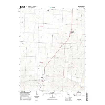
 1961 Lincoln1962 Print · USGSBenton County in the early sixties centers on Lincoln, showing a rural Missouri landscape defined by the Chicago Rock Island and Pacific railroad. Genealogists and historians can locate Zion Ch, Lincoln Cem, and the old Cole Camp Junction rail intersection.2 unique versions available
 - 1973 Map of Ionia, 1975 Print
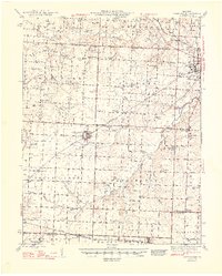
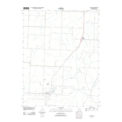
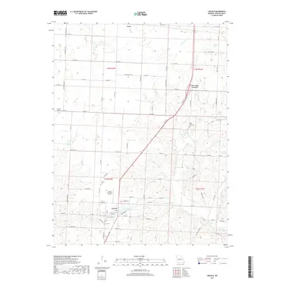
 1973 Ionia1975 Print · USGSThe Pettis and Benton County line in the early 1970s shows a landscape of rail-dependent settlements and quiet rural cemeteries. Genealogists and local historians can locate Ionia, Manila, and the Christian Cemetery along the Chicago Rock Island and Pacific railroad.
 - 1983 Map of Sedalia
 1983 Sedalia1983 Print · USGSWest Central Missouri's landscape in the early eighties shows a dense network of rail towns and riverside communities along the Blackwater River. Genealogists and historians can trace the development of Warrensburg and Sedalia near Whiteman Air Force Base and Knob Noster State Park.
 - 1983 Map of Harry S Truman Reservoir, 1984 Print
 1983 Harry S Truman Reservoir1984 Print · USGSBenton and Henry counties center on the vast Harry S Truman Reservoir in the early 1980s as the landscape adapted to its new shoreline. Genealogists and historians can trace old river crossings like Bledsoe Ferry, local landmarks like Mt Zion Ch, and unique settlements such as Tightwad.
 - 2011 Map of Lincoln, 2011 Print
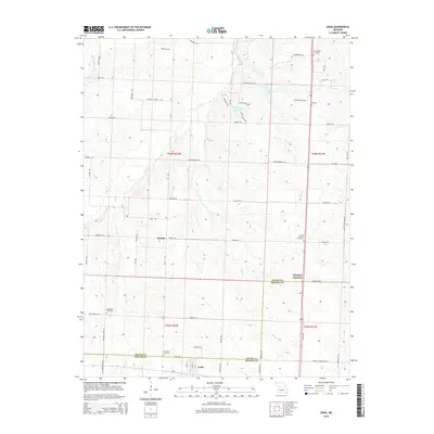
 2011 Lincoln2011 Print · USGSCovers Ionia, including Lincoln, Cole Camp Junction, and other nearby areas
 - 2011 Map of Ionia, 2011 Print
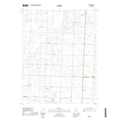
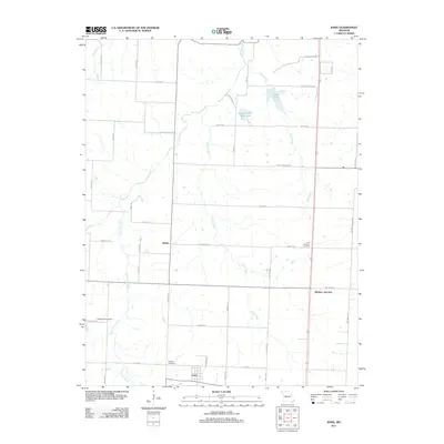 2011 Ionia2011 Print · USGSCovers Ionia, including Windsor Junction, Manila, and other nearby areas
 - 2014 Map of Ionia, 2014 Print
 2014 Ionia2014 Print · USGSCovers Ionia, including Windsor Junction, Manila, and other nearby areas
 - 2014 Map of Lincoln, 2014 Print
 2014 Lincoln2014 Print · USGSCovers Ionia, including Lincoln, Cole Camp Junction, and other nearby areas
 - 2017 Map of Ionia, 2017 Print
 2017 Ionia2017 Print · USGSCovers Ionia, including Windsor Junction, Manila, and other nearby areas
 - 2017 Map of Lincoln, 2017 Print
 2017 Lincoln2017 Print · USGSCovers Ionia, including Lincoln, Cole Camp Junction, and other nearby areas
 - 2021 Map of Ionia, 2021 Print
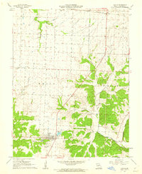
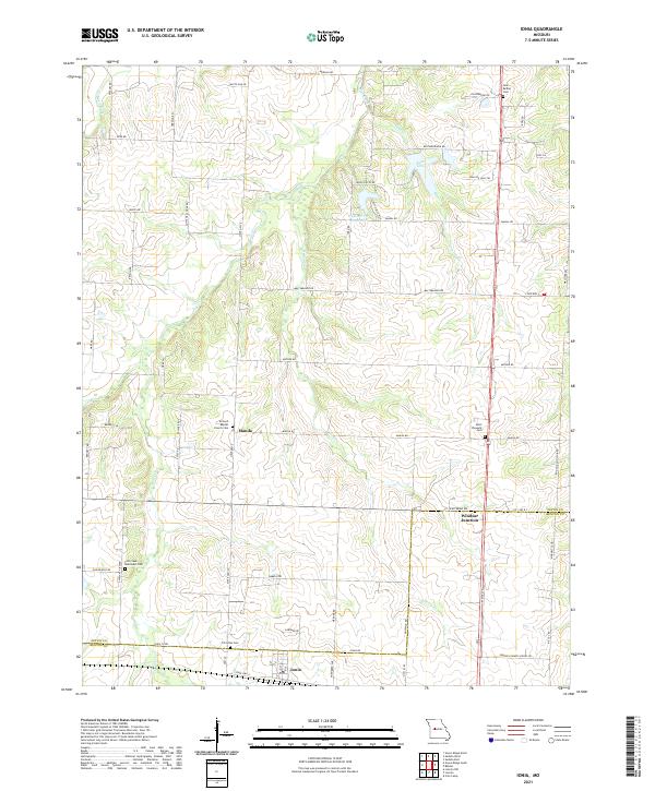 2021 Ionia2021 Print · USGSSpanning the Pettis and Benton County line in the modern era, this map documents a rural Missouri landscape defined by traditional farming and water resources. Genealogists and researchers can trace family landmarks like Point Pleasant Cemetery, the settlement of Manila, and Windsor Junction.
 - 2021 Map of Lincoln, 2021 Print
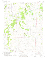
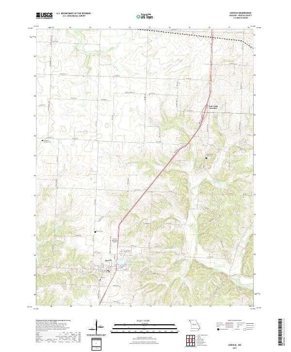 2021 Lincoln2021 Print · USGSBenton County's rural character is clearly preserved here in the early twenty-first century, centered on the community of Lincoln. Researchers can trace local heritage through several burial grounds, including Lincoln Cem, Zion Cem, and Mount Olivet Church Cem.
End of results
Showing maps 1-22 of 22
Top cities near Ionia
- Sedalia historical maps
- Windsor historical maps
- Cole Camp historical maps
- Lincoln historical maps
- Leesville historical maps
- Green Ridge historical maps
See more
Frequently asked questions
- What are the different types of historical maps available for Ionia?
- What is the oldest map of Ionia?
- Where can I purchase historical maps of Ionia for my home or office?
- Where can I download high-res historical maps of Ionia?
- Are there historical topographic maps available for Ionia?
- Is there historical aerial imagery available for Ionia?
- Where are historical maps of Ionia sourced from?