Old Maps of Scopus, Missouri for Academic Research
Study the evolution of Scopus with 15 high-resolution historic maps. Whether you're teaching, researching, or modeling changes in land use, these maps provide essential visual documentation of urban, environmental, and geographic change.
- Analyze long-term change: Track patterns in development, transportation, and natural features.
- Ideal for environmental or urban studies: Support academic projects with primary historical map data.
- Use in the classroom or lab: Educators and researchers rely on these maps to bring historical context to life.
These maps are a powerful tool for teaching, research, and visualizing how Scopus has changed over the decades.
Scopus, MO maps
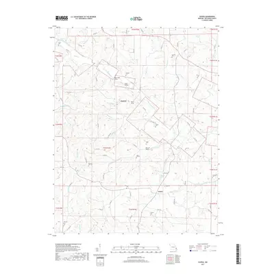
(15)- 1933 Map of Marble Hill, 1964 Print
 1933 Marble Hill1964 Print · USGSBollinger and Cape Girardeau counties in the early 1930s reveal a landscape of rural schoolhouses and family-named landmarks. Trace the Missouri Pacific rail line through Lutesville or find local community sites like Whiskey Sch and Gravel Hill Ch.3 unique versions available
 - 1937 Map of Marble Hill
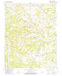
 1937 Marble Hill1937 Print · USGSSoutheast Missouri in the mid-thirties remains a landscape of small crossroads and one-room schools like Hamestring Sch. You can trace the Missouri Pacific rail line through Lutesville or locate family sites at Pulliam Cem and Barks Chapel.2 unique versions available
 - 1949 Map of Paducah
 1949 Paducah1949 Print · USGSThe confluence of the Ohio, Mississippi, Tennessee, and Cumberland rivers at the close of the 1940s reveals a region bound by water and rail. Researchers can trace historic river landings, timberlands in the Shawnee National Forest, and the coal-mining infrastructure around West Frankfort and Herrin.2 unique versions available
 - 1950 Map of Paducah
 1950 Paducah1950 Print · USGSThe confluence of the great midwestern rivers defines this mid-century landscape at the intersection of Illinois, Kentucky, and Missouri. Genealogists and historians can trace the rail-and-river economy through the hubs of Paducah, Cairo, and Metropolis or locate family roots near the Wildcat Hills.
 - 1954 Map of Paducah
 1954 Paducah1954 Print · USGSSouthern Illinois and Western Kentucky intersect at the great river confluences during this mid-century era of rail and river industry. Genealogists and historians can trace family roots and commerce through river towns like Cairo, Metropolis, and Golconda, or along the tracks of the Illinois Central Railroad.2 unique versions available
 - 1961 Map of Paducah
 1961 Paducah1961 Print · USGSThe Lower Ohio Valley at mid-century is a landscape defined by its great rivers and newly formed reservoirs. Researchers can trace the riverfronts of Paducah and Metropolis, or locate smaller settlements like Old Shawneetown and Cave in Rock along the banks.2 unique versions available
 - 1964 Map of Paducah
 1964 Paducah1964 Print · USGSThe river-and-rail corridor of Southern Illinois and Western Kentucky is captured here during the height of the mid-century industrial era. Genealogists and researchers can trace local landmarks across several counties, from the rail yards of Paducah to the waters of Crab Orchard Lake and Kentucky Reservoir.2 unique versions available
 - 1980 Map of Scopus
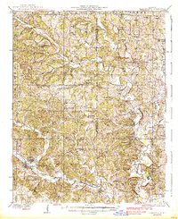
 1980 Scopus1980 Print · USGSBollinger County comes into focus in this late twentieth-century survey of the Ozark foothills. Researchers can trace family ties at Judge Long Cem, Seabaugh Cem, and Mt Zion Ch or explore the drainage of James Creek and Cooks Branch.2 unique versions available
 - 1984 Map of Cape Girardeau, 1985 Print
 1984 Cape Girardeau1985 Print · USGSThe tri-state junction of Missouri, Illinois, and Kentucky in the mid-1980s was a bustling corridor defined by its massive river systems and complex rail lines. Researchers can trace the paths of the Missouri Pacific RR, explore the Shawnee National Forest, or locate small settlements like Marble Hill and Advance.
 - 1986 Map of Cape Girardeau
 1986 Cape Girardeau1986 Print · USGSThe Missouri-Illinois-Kentucky borderlands come into focus in the mid-1980s as the river-and-rail economy shapes the landscape near the Great Rivers confluence. Researchers can trace historic rail lines and old settlements like Gordonville, New Hamburg, and the Trail of Tears State Park.
 - 1987 Map of Paducah, 1988 Print
 1987 Paducah1988 Print · USGSThe Lower Ohio Valley and the Illinois Ozarks come alive in this late twentieth-century regional survey. Genealogists and local historians can trace river-town roots and state park landmarks from Metropolis to Cape Girardeau and Trail of Tears State Park.
 - 2012 Map of Scopus, 2012 Print
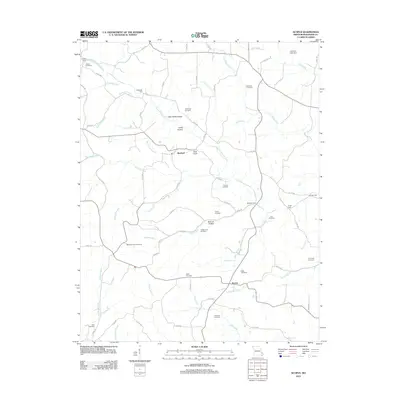 2012 Scopus2012 Print · USGSCovers Scopus, including Mayfield, Bollinger County, and other nearby areas
 - 2015 Map of Scopus, 2015 Print
 2015 Scopus2015 Print · USGSCovers Scopus, including Mayfield, Bollinger County, and other nearby areas
 - 2017 Map of Scopus, 2017 Print
 2017 Scopus2017 Print · USGSCovers Scopus, including Mayfield, Bollinger County, and other nearby areas
 - 2021 Map of Scopus, 2021 Print
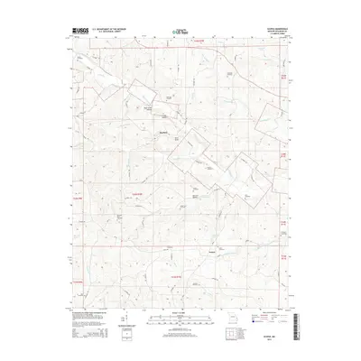
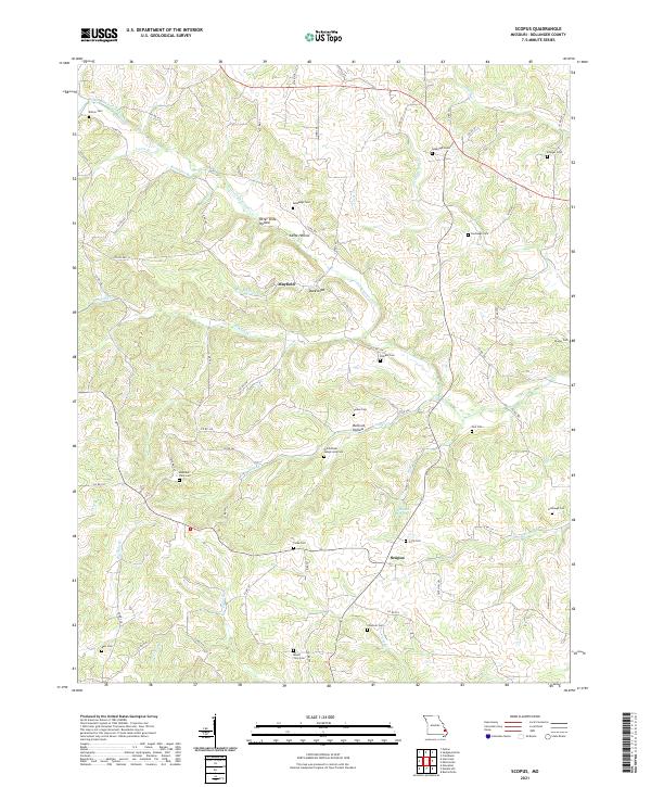 2021 Scopus2021 Print · USGSBollinger County at the start of the 2020s remains a landscape of quiet hollows and generational homesteads. Genealogists can trace family lines through numerous burial sites like Old Pulliam - Judge Long Cem and the Seabaugh Cem near Mayfield.
End of results
Showing maps 1-15 of 15
Top cities near Scopus
- Jackson historical maps
- Marble Hill historical maps
- Delta historical maps
- Oak Ridge historical maps
- Sedgewickville historical maps
- Whitewater historical maps
See more
Frequently asked questions
- What are the different types of historical maps available for Scopus?
- What is the oldest map of Scopus?
- Where can I purchase historical maps of Scopus for my home or office?
- Where can I download high-res historical maps of Scopus?
- Are there historical topographic maps available for Scopus?
- Is there historical aerial imagery available for Scopus?
- Where are historical maps of Scopus sourced from?