Old Maps of Stonecrest, Saint Joseph for Metal Detecting
Plan your next treasure hunt with 15 historic maps of Stonecrest. Find old homesites, ghost towns, trails, and gathering spots that may be lost to time — perfect for identifying promising metal detecting locations.
- Locate forgotten sites: Uncover places like long-lost settlements, abandoned rail lines, or gathering spots.
- Plan better hunts: Use map overlays combined with LiDAR or satellite views to narrow in on historically rich areas.
- Made for detectorists: Thousands of hobbyists use these maps to discover relics, coins, and hidden history.
Use these historic maps to boost your research and find new opportunities beneath the surface of Stonecrest.
Stonecrest, Saint Joseph maps
(15)- 1924 Map of St. Joseph, 1960 Print
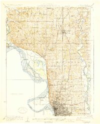
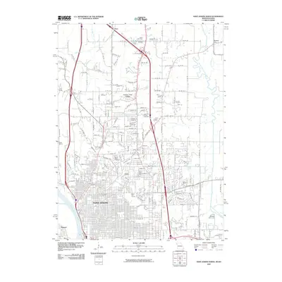
 1924 St. Joseph1960 Print · USGSNorthwest Missouri is captured in the mid-twenties as the Missouri River defines the landscape near St. Joseph. Genealogists and local historians can trace scores of rural institutions, from the State Hospital and County Farm to family-named landmarks like Old Union Cem and Gee School.2 unique versions available
 - 1926 Map of Saint Joseph
 1926 Saint Joseph1926 Print · USGSNorthwest Missouri thrived as a rail and river hub during the mid-twenties, centered on the growing industrial footprint of St. Joseph and Savannah. Researchers can trace early school districts like Liggett School, locate the historic Old Union Cem, and study the river-bottom landscape of French Bottom.3 unique versions available
 - 1950 Map of Kansas City
 1950 Kansas City1950 Print · USGSMid-century Kansas and Missouri are captured here during a period of industrial growth and shifting transportation. Genealogists and historians can trace rail lines like the Wabash RR or locate ancestral homes near the Potawatomi Indian Reservation and Horton.
 - 1954 Map of Kansas City
 1954 Kansas City1954 Print · USGSThe Missouri-Kansas borderlands flourished in the post-war era as river commerce and rail networks converged at the Missouri River. Genealogists and historians can trace the foundations of Kansas City and smaller rural hubs like Hiawatha or Sabetha.
 - 1956 Map of Kansas City, 1967 Print
 1956 Kansas City1967 Print · USGSThe Kansas-Missouri border region thrived during the mid-fifties, centered on the growing metropolitan cores and the busy river valleys. Researchers can trace the layout of significant government sites like Fort Leavenworth and the Lake City Army Ammunition Plant.4 unique versions available
 - 1960 Map of Kansas City
 1960 Kansas City1960 Print · USGSMid-century Kansas and Missouri meet at the river forks, showing a sprawling rail-and-river economy during the 1950s growth era. Genealogists and researchers can trace tribal lands like the Kickapoo Indian Reservation or follow the early interstate corridors through Saint Joseph and Independence.3 unique versions available
 - 1971 Map of St. Joseph North, 1973 Print
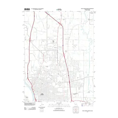
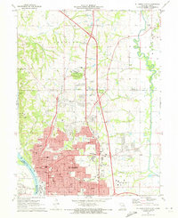 1971 St. Joseph North1973 Print · USGSSt. Joseph and the surrounding Missouri River bluffs are shown in great detail during a period of significant suburban expansion in the early 1970s. Researchers can trace historic cemeteries like Mt Mora Cem and locate local landmarks such as Missouri Western College and Country Club Village.4 unique versions available
 - 1980 Map of St. Joseph North, 1981 Print
 1980 St. Joseph North1981 Print · USGSSt. Joseph's northern reaches and rural Buchanan County are captured in the early eighties as suburban development meets traditional farmland. Trace the winding One Hundred and Two River or locate homes in Country Club Village.
 - 1986 Map of Saint Joseph
 1986 Saint Joseph1986 Print · USGSNorthwest Missouri thrived as a regional transportation and educational hub during the mid-eighties, centered on the historic river city of Saint Joseph. Researchers can locate specific local landmarks like Burlington Cemetery, Pigeon Hill Church, and the winding Pony Express Trail.2 unique versions available
 - 1997 Map of St. Joseph North, 2001 Print
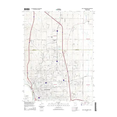
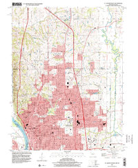 1997 St. Joseph North2001 Print · USGSSt. Joseph's urban core and northern suburbs are captured in the late nineties as the city pushed toward the Andrew County line. Genealogists and historians can trace family plots at Mt Mora Cem or locate institutional landmarks like Missouri Western College and Camp Geiger.
 - 2009 Map of Saint Joseph North, 2009 Print
 2009 Saint Joseph North2009 Print · USGSCovers Stonecrest, including Saint Joseph, Elwood, and other nearby areas
 - 2012 Map of Saint Joseph North, 2012 Print
 2012 Saint Joseph North2012 Print · USGSCovers Stonecrest, including Saint Joseph, Elwood, and other nearby areas
 - 2015 Map of Saint Joseph North, 2015 Print
 2015 Saint Joseph North2015 Print · USGSCovers Stonecrest, including Saint Joseph, Elwood, and other nearby areas
 - 2017 Map of Saint Joseph North, 2017 Print
 2017 Saint Joseph North2017 Print · USGSCovers Stonecrest, including Saint Joseph, Elwood, and other nearby areas
 - 2021 Map of Saint Joseph North, 2021 Print
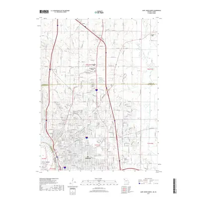
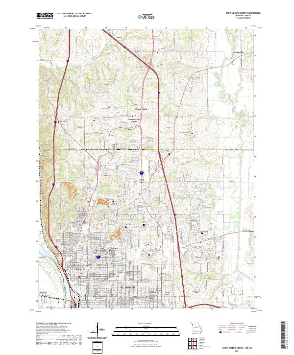 2021 Saint Joseph North2021 Print · USGSThe riverfront and northern suburbs of St. Joseph come into focus in this late-modern survey of Buchanan County. Genealogists and historians can trace the grounds of Mount Mora Cem, B'nai Sholem Cem, and the historic Buchanan County Courthouse.
End of results
Showing maps 1-15 of 15
Frequently asked questions
- What are the different types of historical maps available for Stonecrest?
- What is the oldest map of Stonecrest?
- Where can I purchase historical maps of Stonecrest for my home or office?
- Where can I download high-res historical maps of Stonecrest?
- Are there historical topographic maps available for Stonecrest?
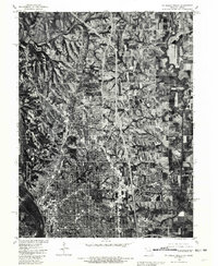
- Is there historical aerial imagery available for Stonecrest?
- Where are historical maps of Stonecrest sourced from?