Old Maps of Vastus, Missouri for Academic Research
Study the evolution of Vastus with 11 high-resolution historic maps. Whether you're teaching, researching, or modeling changes in land use, these maps provide essential visual documentation of urban, environmental, and geographic change.
- Analyze long-term change: Track patterns in development, transportation, and natural features.
- Ideal for environmental or urban studies: Support academic projects with primary historical map data.
- Use in the classroom or lab: Educators and researchers rely on these maps to bring historical context to life.
These maps are a powerful tool for teaching, research, and visualizing how Vastus has changed over the decades.
Vastus, MO maps
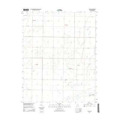
(11)- 1935 Map of Harviell, 1943 Print
 1935 Harviell1943 Print · USGSButler County in the mid-1930s was a landscape of river bends and scattered rural schoolhouses along the St Louis San Francisco Railroad. Genealogists can trace family roots at Black Creek Ch & Cem or locate vanished local schools like Gillis Bluff Sch and Havam Sch.2 unique versions available
 - 1957 Map of Poplar Bluff, 1968 Print
 1957 Poplar Bluff1968 Print · USGSThe Missouri-Arkansas border region is captured here as the timber and rail industries shaped the Ozark foothills. Genealogists and historians can trace the Missouri Pacific Railroad through river towns like Pocahontas, Greenville, and Van Buren.3 unique versions available
 - 1959 Map of Poplar Bluff
 1959 Poplar Bluff1959 Print · USGSThe Missouri Ozarks and Arkansas borderlands meet in this late 1950s study of the region's diverse terrain and rail-fed towns. Researchers can trace the path of the Missouri Pacific Railroad through Poplar Bluff or locate smaller settlements like Birch Tree and Myrtle.
 - 1960 Map of Poplar Bluff
 1960 Poplar Bluff1960 Print · USGSSoutheast Missouri and Northeast Arkansas are captured here during the post-war era, showing the transition from the Ozark highlands to the Delta. Genealogists and historians can trace rail corridors like the St. Louis Southwestern RR and remote settlements such as Birch Tree and Warm Springs.
 - 1964 Map of Vastus, 1965 Print
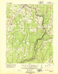
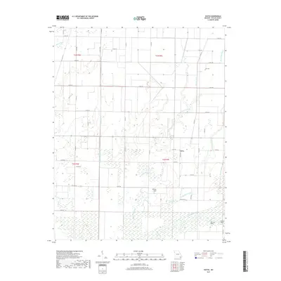
 1964 Vastus1965 Print · USGSSoutheast Missouri’s drainage-engineered lowlands are captured in detail during the mid-sixties, showcasing a landscape of bottomland farms and rural churches. Genealogists can locate family-named landmarks like Barks Church, the Coon Island School, and Stillcamp Church.
 - 1964 Map of Harviell, 1968 Print
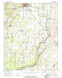 1964 Harviell1968 Print · USGSButler County in the mid-sixties reveals a landscape defined by the drainage of the Missouri Bootheel and the growth of Poplar Bluff. Genealogists can trace family names at Melton Cem and Kelly Cem or locate vanished rural schoolhouses like Willow Oak Sch.3 unique versions available
 - 1983 Map of Poplar Bluff
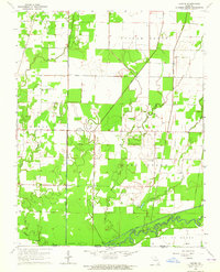
 1983 Poplar Bluff1983 Print · USGSSoutheast Missouri in the early 1980s reveals a landscape defined by the Ozark foothills and the complex drainage systems of the Bootheel. Researchers can trace the rail corridors of the Missouri Pacific RR through Poplar Bluff or locate rural sites like Wilhelmina Church and Lone Hill Lookout.
 - 2011 Map of Vastus, 2011 Print
 2011 Vastus2011 Print · USGSCovers Vastus, including Butler County, United States, and other nearby areas
 - 2015 Map of Vastus, 2015 Print
 2015 Vastus2015 Print · USGSCovers Vastus, including Butler County, United States, and other nearby areas
 - 2017 Map of Vastus, 2017 Print
 2017 Vastus2017 Print · USGSCovers Vastus, including Butler County, United States, and other nearby areas
 - 2021 Map of Vastus, 2021 Print
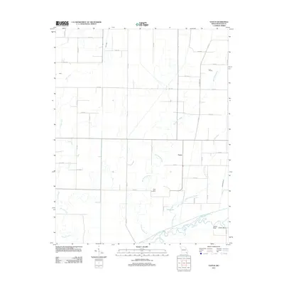
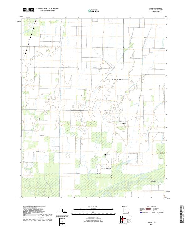 2021 Vastus2021 Print · USGSButler County's agricultural bottomlands are meticulously detailed in this recent survey, showcasing a complex network of 21st-century drainage and rural settlement. Researchers can locate Coon Island Cem, trace the course of the Black River at Factory Bend, and study the reclaimed lands near Allred Lake.
End of results
Showing maps 1-11 of 11
Top cities near Vastus
- Poplar Bluff historical maps
- Piggott historical maps
- Corning historical maps
- Naylor historical maps
- Neelyville historical maps
- Qulin historical maps
See more
Frequently asked questions
- What are the different types of historical maps available for Vastus?
- What is the oldest map of Vastus?
- Where can I purchase historical maps of Vastus for my home or office?
- Where can I download high-res historical maps of Vastus?
- Are there historical topographic maps available for Vastus?
- Is there historical aerial imagery available for Vastus?
- Where are historical maps of Vastus sourced from?