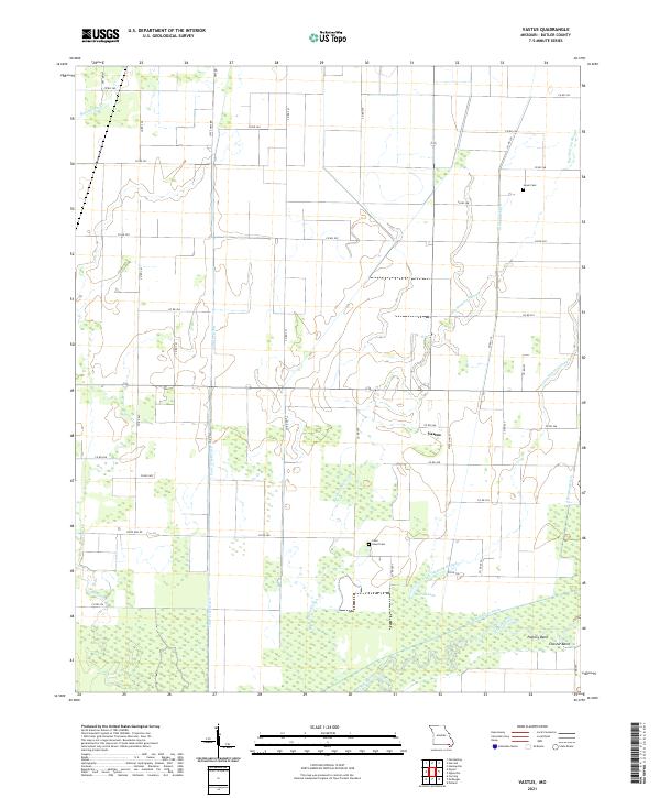
2021 Map of Vastus
USGS Topo · Published 2021About this map
Vastus sits at the heart of a landscape heavily modified by a sophisticated network of drainage infrastructure in Butler County. This 2021 survey illustrates how the low-lying terrain has been reclaimed through features like Harviell Ditch, Cane Creek Ditch, and Ackerman Ditch, which redirect water away from agricultural fields and toward the Black River. These man-made channels parallel natural waterways such as Cane Cr and Big Hunting Slough, creating a distinct grid-like hydrography that defines the local geography.
Find a feature on this map
51 named features on this map. Tap any name to fly to it.
Don’t see what you’re looking for? This feature index may not catch every label — zoom into the map to look around manually.
Map Details
Editions of this 2021 Vastus Map
This is the sole edition of this map. No revisions or reprints were ever made.
Historical Maps of Vastus Through Time
10 maps found
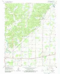
1963 Hanleyville
Butler County, MO
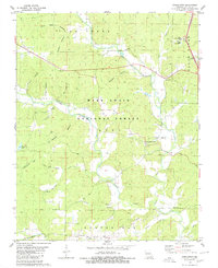
1964 Oglesville
Butler County, MO
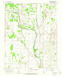
1964 Vastus
Butler County, MO
1966 Rombauer
Butler County, MO
1980 Stringtown
Butler County, MO
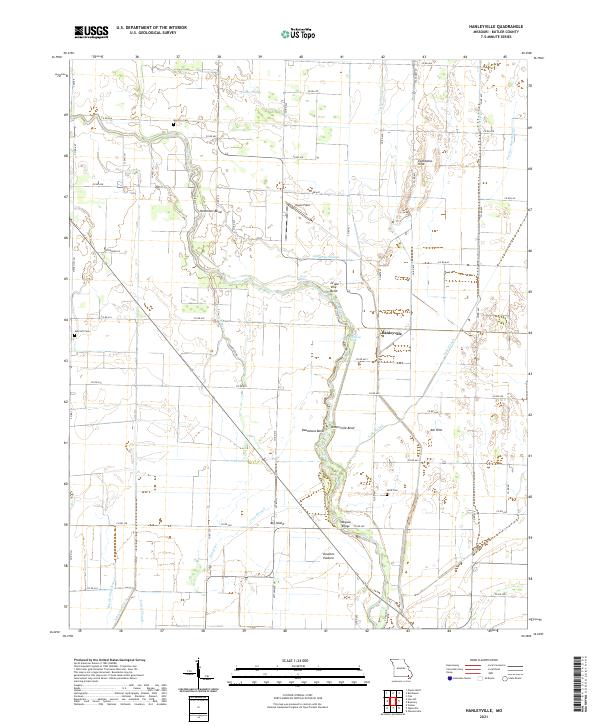
2021 Hanleyville
Butler County, MO
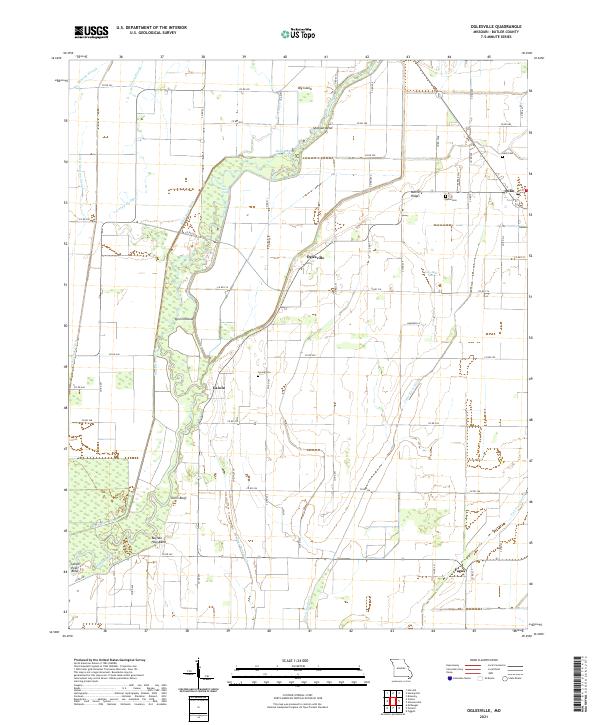
2021 Oglesville
Butler County, MO
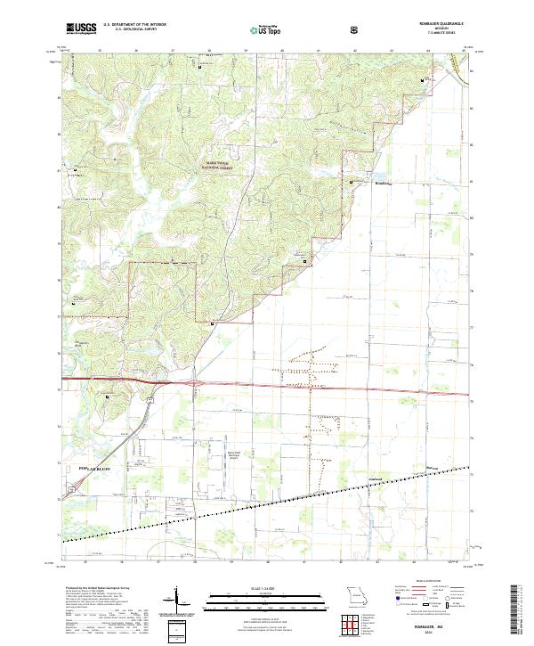
2021 Rombauer
Butler County, MO
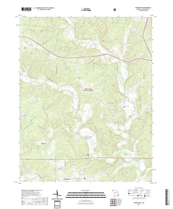
2021 Stringtown
Butler County, MO
2021 Vastus
Butler County, MO