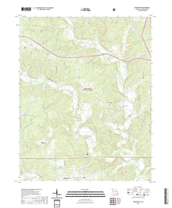
2021 Map of Stringtown
USGS Topo · Published 2021About this map
Stringtown and Milltown anchor this Butler County landscape, where the terrain is defined by a dense network of named hollows and creek branches. Within the Mark Twain National Forest, the topography transitions through family-named landmarks like Gobbler Hollow and Mallady Hollow. The settlement pattern is largely rural and dispersed, centered around historic community focal points such as Flatwoods School, Victory School, and the Sparkman Cem and Houts Cem.
Find a feature on this map
49 named features on this map. Tap any name to fly to it.
Don’t see what you’re looking for? This feature index may not catch every label — zoom into the map to look around manually.
Map Details
Editions of this 2021 Stringtown Map
This is the sole edition of this map. No revisions or reprints were ever made.
Other maps of this area

1934 · Williamsville
USGS Topo · 1:48,000

1935 · Poplar Bluff
USGS Topo · 1:62,500

1935 · Acorn
USGS Topo · 1:62,500

1935 · Harviell
USGS Topo · 1:62,500

1939 · Poplar Bluff
USGS Topo · 1:62,500

1940 · Williamsville
USGS Topo · 1:62,500

1940 · Naylor
USGS Topo · 1:62,500

1944 · Naylor
USGS Topo · 1:62,500

1949 · Poplar Bluff
USGS Topo · 1:62,500

1957 · Poplar Bluff
USGS Topo · 1:250,000