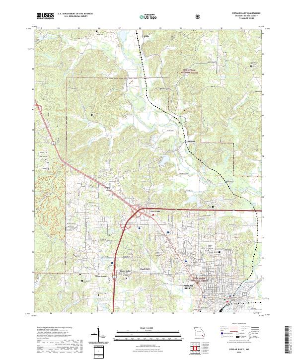
1939 Map of Poplar Bluff
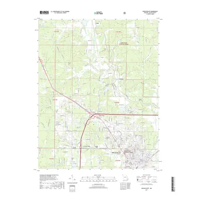
USGS Topo · Published 1949About this map
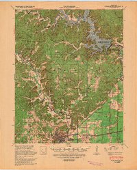
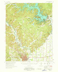
The Lower Black River flows through a landscape defined by transformative engineering and early rail infrastructure in this Missouri survey. The Lake Wappapello conservation pool dominates the northeast, marked by technical specifications such as the Elev. of Dam 420.0 and a spillway crest. This area illustrates the transition from river-bottom commerce to a controlled reservoir system, with a clear Head of Navigation noted on the river near Mengo.
Find a feature on this map
80 named features on this map. Tap any name to fly to it.
Don’t see what you’re looking for? This feature index may not catch every label — zoom into the map to look around manually.
Map Details
Editions of this 1939 Poplar Bluff Map
This is the sole edition of this map. No revisions or reprints were ever made.
Historical Maps of Poplar Bluff Through Time
13 maps found
1935 Poplar Bluff
Butler County, MO
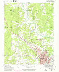
1939 Poplar Bluff
Butler County, MO
1949 Poplar Bluff
Butler County, MO
1957 Poplar Bluff
Butler County, MO

1959 Poplar Bluff
Butler County, MO

1960 Poplar Bluff
Butler County, MO
1966 Poplar Bluff
Butler County, MO
1968 Poplar Bluff
Butler County, MO

1983 Poplar Bluff
Butler County, MO
2011 Poplar Bluff
Butler County, MO
2015 Poplar Bluff
Butler County, MO
2017 Poplar Bluff
Butler County, MO
2021 Poplar Bluff
Butler County, MO