Loading...
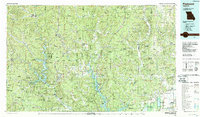
Loading map...1935 Map of Piedmont
USGS Topo · Published 1935About this map
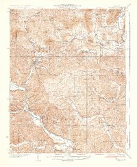
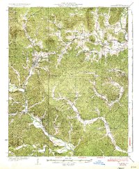
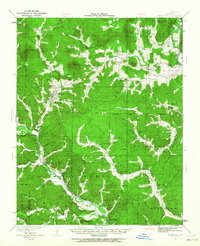
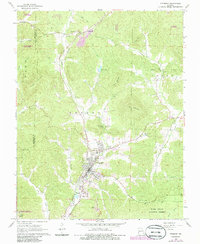
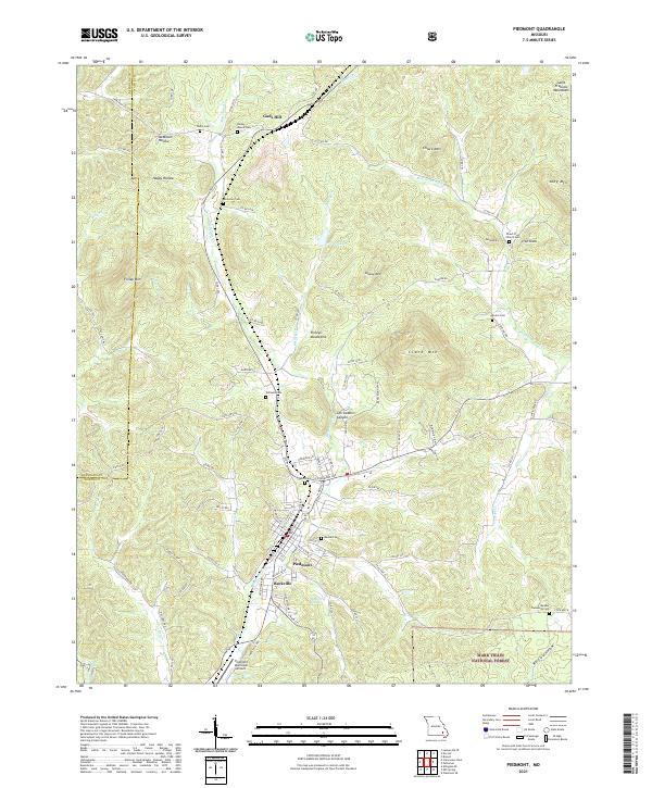
Piedmont serves as a central hub for the Missouri Ozarks in this mid-1930s topographical study, situated where the Missouri Pacific RR follows the winding course of the Black River. The landscape is a dense network of hollows and ridges, punctuated by rural institutions such as Beulah Ch, Dees Chapel Sch, and Watkins Store. The map illustrates the early development of Sam A Baker State Park near the St Francois River, alongside significant natural landmarks like Lon Sanders Canyon and Iron Knob.
Find a feature on this map
88 named features on this map. Tap any name to fly to it.
Don’t see what you’re looking for? This feature index may not catch every label — zoom into the map to look around manually.
Map Details
Date Portrayed1935
Date Published1935
PublisherU.S. Geological Survey
Map TypeTopographic
Scale1:62,500
Physical Dimensions16.58 x 20.23 inches
Editions of this 1935 Piedmont Map
2 editions found
Historical Maps of Piedmont Through Time
8 maps found
Featured Locations
Source Details
SourceU.S. Geological Survey
CopyrightPublic Domain