
1935 Map of Poplar Bluff
USGS Topo · Published 1935About this map
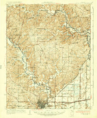
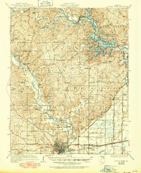
Poplar Bluff serves as the focal point of this 1930s survey, situated at the intersection of the Missouri Pacific and the St Louis San Francisco railroads. The landscape is defined by the winding course of the Black River and the St Francis River, before modern water management significantly altered the regional hydrology. The map captures a high density of rural social infrastructure, documenting numerous one-room schoolhouses like Dripping Sch and English Sch, alongside community hubs such as Mt Zion Ch.
Find a feature on this map
58 named features on this map. Tap any name to fly to it.
Don’t see what you’re looking for? This feature index may not catch every label — zoom into the map to look around manually.
Map Details
Editions of this 1935 Poplar Bluff Map
3 editions found
Other maps of this area

1932 · Piedmont
USGS Topo · 1:62,500

1934 · Greenville
USGS Topo · 1:62,500

1934 · Williamsville
USGS Topo · 1:48,000

1934 · Puxico
USGS Topo · 1:62,500

1935 · Zalma
USGS Topo · 1:62,500

1935 · Piedmont
USGS Topo · 1:62,500

1935 · Acorn
USGS Topo · 1:62,500

1935 · Harviell
USGS Topo · 1:62,500

1939 · Greenville
USGS Topo · 1:62,500

1939 · Puxico
USGS Topo · 1:62,500