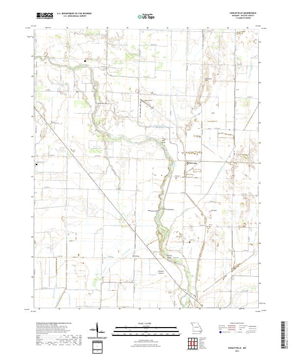
2021 Map of Hanleyville
USGS Topo · Published 2021About this map
The Black River snakes through the lowlands of Butler County, Missouri, creating a complex geography of loops and landings such as Hammons Bend and Grape Vine Bend. This river system is the primary driver of the local topography, punctuated by numerous backwaters like Catherine Slough and Caney Slough. The modest settlement of Hanleyville sits atop slightly higher ground, surrounded by a network of drainage infrastructure including Snider Ditch and Ackerman Ditch, which manage the area's significant wetlands.
Find a feature on this map
75 named features on this map. Tap any name to fly to it.
Don’t see what you’re looking for? This feature index may not catch every label — zoom into the map to look around manually.
Map Details
Editions of this 2021 Hanleyville Map
This is the sole edition of this map. No revisions or reprints were ever made.
Other maps of this area

1934 · Puxico
USGS Topo · 1:62,500

1935 · Poplar Bluff
USGS Topo · 1:62,500

1935 · Harviell
USGS Topo · 1:62,500

1939 · Puxico
USGS Topo · 1:62,500

1939 · Poplar Bluff
USGS Topo · 1:62,500

1940 · Valley Ridge
USGS Topo · 1:62,500

1949 · Poplar Bluff
USGS Topo · 1:62,500

1956 · Valley Ridge
USGS Topo · 1:62,500

1957 · Poplar Bluff
USGS Topo · 1:250,000

1959 · Poplar Bluff
USGS Topo · 1:250,000