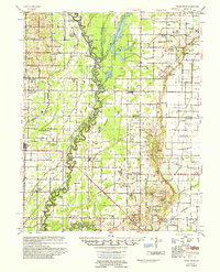
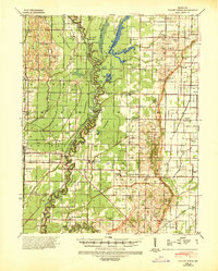
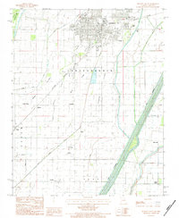
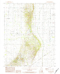
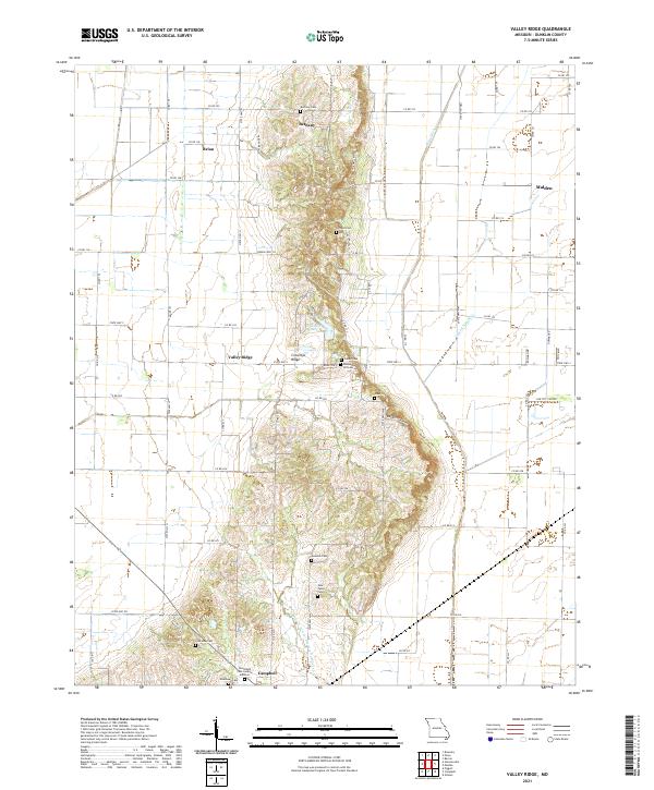
1956 Map of Valley Ridge
USGS Topo · Published 1956About this map
The St Francis River defines the landscape of this mid-century Missouri survey, winding through the borderlands of Butler, Dunklin, and Stoddard counties. This era reveals a sophisticated network of drainage infrastructure, such as Ditch No 11 and Ditch No 12, which transformed the bootheel's lowlands into productive acreage. Long-standing river crossings like Higginbothams Ferry and Dekyns Ferry indicate the continued reliance on water-based transit even as the St Louis Southwestern Railroad provided heavy-duty land connections. Small agrarian communities are densely mapped with combined social centers like Depoyster Ch & Sch and Bridge Ch & Sch, alongside family-named sites such as Stephens Cem and McMurphy Cem. From the concentrated settlement of Campbell to the scattered farms of Wilhelmina, the map preserves a layout of rural Missouri life before modern consolidation.
Find a feature on this map
91 named features on this map. Tap any name to fly to it.
Don’t see what you’re looking for? This feature index may not catch every label — zoom into the map to look around manually.
Map Details
Editions of this 1956 Valley Ridge Map
This is the sole edition of this map. No revisions or reprints were ever made.
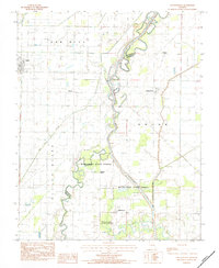
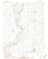
Historical Maps of Malden Through Time
22 maps found
1940 Valley Ridge
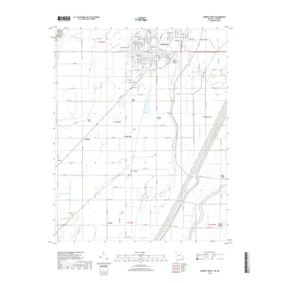
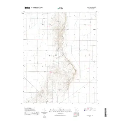
Dunklin County, MO
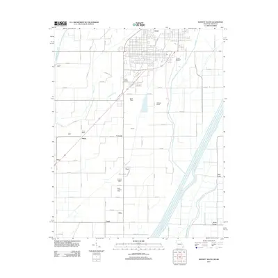
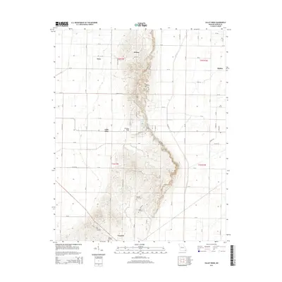
1956 Valley Ridge
Dunklin County, MO
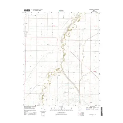
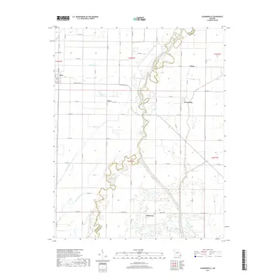
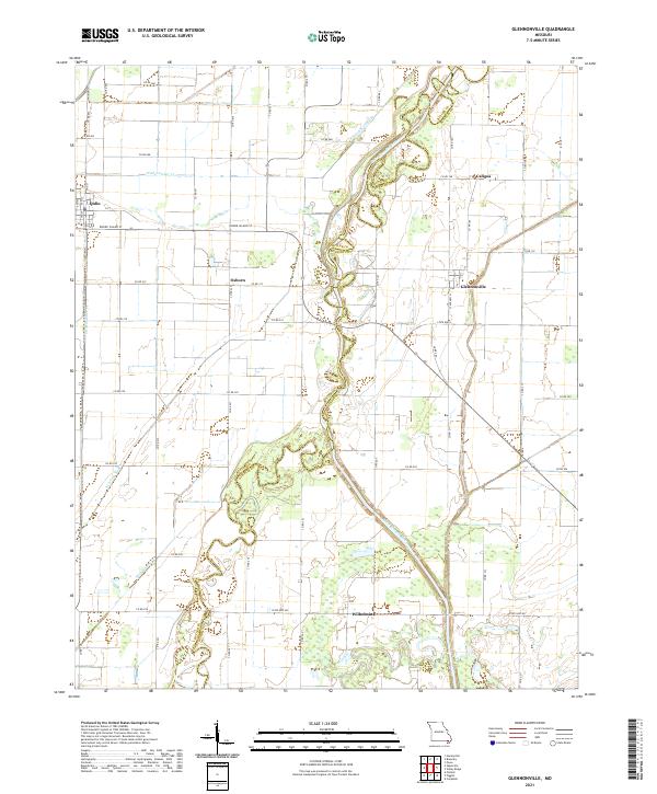
1983 Glennonville
Dunklin County, MO
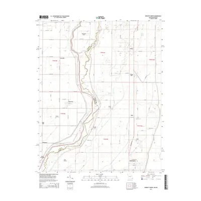
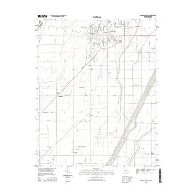
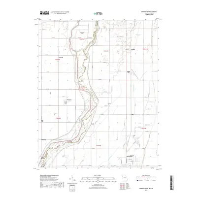
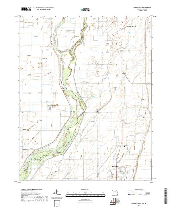
1983 Kennett North
Dunklin County, MO
1983 Kennett South
Dunklin County, MO
1984 Valley Ridge
Dunklin County, MO
2011 Glennonville
Dunklin County, MO
2011 Kennett North
Dunklin County, MO
2011 Kennett South
Dunklin County, MO
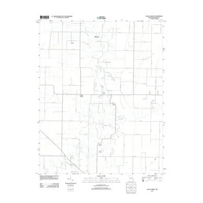
2011 Valley Ridge
Dunklin County, MO
2015 Glennonville
Dunklin County, MO
2015 Kennett North
Dunklin County, MO
2015 Kennett South
Dunklin County, MO
2015 Valley Ridge
Dunklin County, MO
2017 Glennonville
Dunklin County, MO
2017 Kennett North
Dunklin County, MO
2017 Kennett South
Dunklin County, MO
2017 Valley Ridge
Dunklin County, MO
2021 Glennonville
Dunklin County, MO
2021 Kennett North
Dunklin County, MO
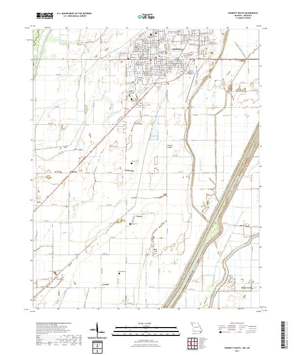
2021 Kennett South
Dunklin County, MO
2021 Valley Ridge
Dunklin County, MO