Loading...
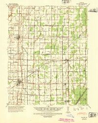
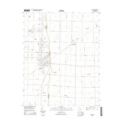
Loading map...1940 Map of Malden
USGS Topo · Published 1942About this map
Malden and Parma anchor this 1940s landscape, where the flatlands of the Missouri Bootheel are defined by an intensive network of drainage projects. The map documents the engineered transformation of the region, featuring the Original West Main Ditch and a massive system of numbered channels like Ditch No 1 and Ditch No 43 that reclaimed the terrain for agriculture.
Find a feature on this map
167 named features on this map. Tap any name to fly to it.
Don’t see what you’re looking for? This feature index may not catch every label — zoom into the map to look around manually.
Map Details
Date Portrayed1940
Date Published1942
PublisherU.S. Geological Survey
Map TypeTopographic
Scale1:62,500
Physical Dimensions17.5 x 21.8 inches
Editions of this 1940 Malden Map
This is the sole edition of this map. No revisions or reprints were ever made.
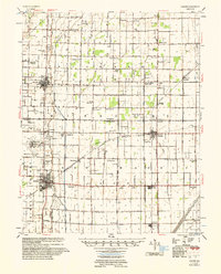
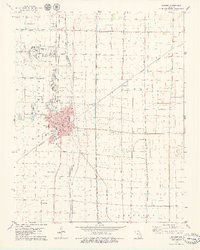
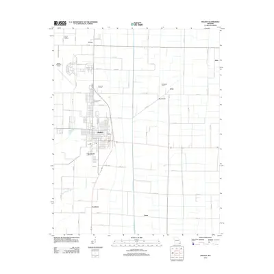
Historical Maps of Malden Through Time
7 maps found
Featured Locations
Source Details
SourceU.S. Geological Survey
CopyrightPublic Domain