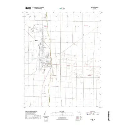
1978 Map of Malden
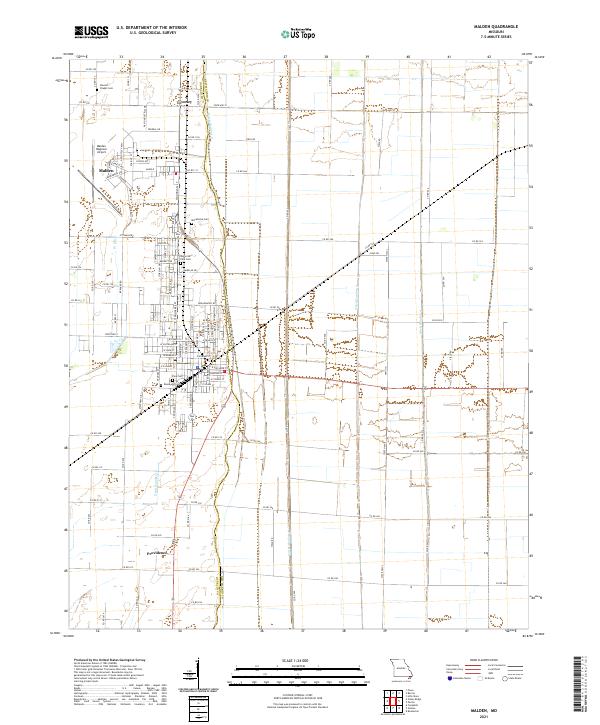
USGS Topo · Published 1979About this map
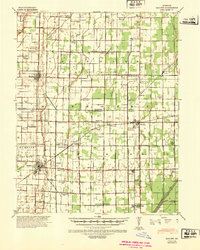
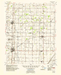
The St Louis Southwestern railroad corridor anchor this corner of the Bootheel, where the city of Malden serves as a regional hub for industry and transportation. In the late 1970s, the landscape around the city is defined by a rigorous grid of drainage infrastructure, including Ditch No 1 and Ditch No 2, which transformed the Little River Valley into productive land. The northwestern quadrant is dominated by the Malden Municipal Airport, while the urban center shows a concentration of civic life at City Hall and recreational sites like the Fish Hatchery. Rural life persists in outlying settlements such as Townley and Broadwater, often centered around local landmarks like Maple Grove Ch and Stevens Chapel Cem. This survey captures the transition from the city's structured streets to the expansive agricultural fields and specialized facilities like the Drive-in Theater and Golf Courses.
Find a feature on this map
33 named features on this map. Tap any name to fly to it.
Don’t see what you’re looking for? This feature index may not catch every label — zoom into the map to look around manually.
Map Details
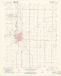
Editions of this 1978 Malden Map
This is the sole edition of this map. No revisions or reprints were ever made.
Historical Maps of Malden Through Time
7 maps found