Old Maps of Spoonerville, Malden
Explore 9 old maps of Spoonerville, spanning from 1940 to today. These high-resolution historic maps reveal how streets, neighborhoods, landmarks, and natural features evolved over time — perfect for genealogy, metal detecting, research, and local history exploration.
What you can do with these maps:
- See how Spoonerville changed over time: Compare historical maps to modern-day views to trace roads, homesites, rail lines & more.
- View detailed metadata: Each map includes creators, publishers, year, scale, and archive source.
- Overlay maps with satellite & LiDAR: Visualize the past alongside modern tools to explore terrain & human change.
- Trusted historical sources: Maps sourced from the USGS, Library of Congress, and other archives.
- Access maps your way: View online, download high-res files, or order prints for personal or research use.
Start exploring old maps of Spoonerville to uncover forgotten places, hidden landmarks, and the deep history beneath your feet.
Spoonerville, Malden maps
(9)- 1940 Map of Malden, 1942 Print
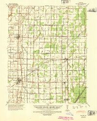 1940 Malden1942 Print · USGSIn the Missouri Bootheel during the early 1940s, a vast network of drainage ditches transformed the landscape for farming and rail commerce. Researchers can trace rural life through dozens of named landmarks like Sugar Tree Ch & Sch, Stephenson Cem, and Tallapoosa.
 - 1956 Map of Malden
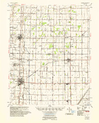 1956 Malden1956 Print · USGSThe Missouri bootheel in the mid-1950s reveals a highly engineered landscape where drainage ditches and rail lines shaped every town and farm. Genealogists can locate family landmarks like Poplin Sch & Cem, Stones Chapel Cem, and the Malden Air Force Base.
 - 1956 Map of Dyersburg, 1960 Print
 1956 Dyersburg1960 Print · USGSThe Four Rivers region comes alive in the mid-fifties, capturing the intricate borderlands of Tennessee, Kentucky, and Missouri. Genealogists and historians can trace the rail-and-river networks connecting Dyersburg, Caruthersville, and the shoreline of Reelfoot Lake.4 unique versions available
 - 1978 Map of Malden, 1979 Print
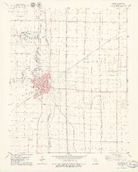 1978 Malden1979 Print · USGSThe Missouri Bootheel in the late seventies reveals a landscape of engineered drainage and rail-side growth. Genealogists and local historians can locate several family burial grounds like Macedonia Cem and trace the legacy of Townley and the Malden Municipal Airport.
 - 1985 Map of Sikeston, 1986 Print
 1985 Sikeston1986 Print · USGSThe Missouri Bootheel and the four-state river convergence are captured in the mid-eighties as the modern agricultural and rail networks matured. Researchers can locate regional landmarks like the Towosahgy State Historic Site, Oak Grove Cem, and towns along the St Louis Southwestern Railroad.2 unique versions available
 - 2012 Map of Malden, 2012 Print
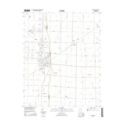
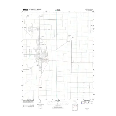 2012 Malden2012 Print · USGSCovers Spoonerville, including Malden, Baxter, and other nearby areas
 - 2015 Map of Malden, 2015 Print
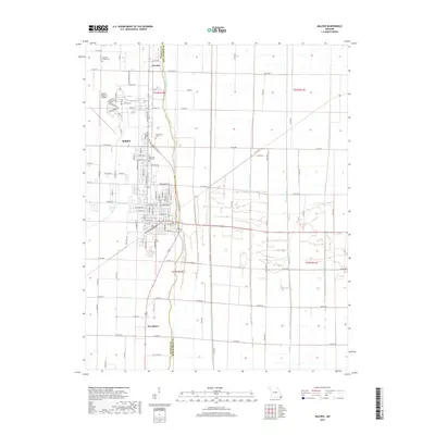
 2015 Malden2015 Print · USGSCovers Spoonerville, including Malden, Baxter, and other nearby areas
 - 2017 Map of Malden, 2017 Print
 2017 Malden2017 Print · USGSCovers Spoonerville, including Malden, Baxter, and other nearby areas
 - 2021 Map of Malden, 2021 Print
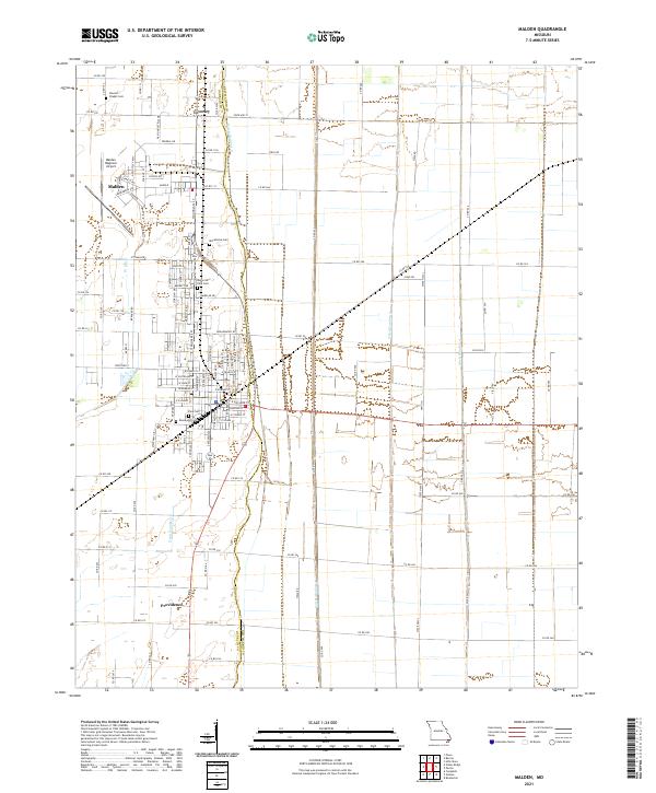 2021 Malden2021 Print · USGSThe Missouri Bootheel's engineered landscape is on full display here in the early 2020s, showing a grid of drainage canals and airfields. Researchers can locate local burial grounds like Stevens Chapel Cem and trace the agricultural footprint near Townley and Providence.
End of results
Showing maps 1-9 of 9
Top cities near Spoonerville
- Dexter historical maps
- Malden historical maps
- Piggott historical maps
- Campbell historical maps
- Bernie historical maps
- Clarkton historical maps
See more
Frequently asked questions
- What are the different types of historical maps available for Spoonerville?
- What is the oldest map of Spoonerville?
- Where can I purchase historical maps of Spoonerville for my home or office?
- Where can I download high-res historical maps of Spoonerville?
- Are there historical topographic maps available for Spoonerville?
- Is there historical aerial imagery available for Spoonerville?
- Where are historical maps of Spoonerville sourced from?