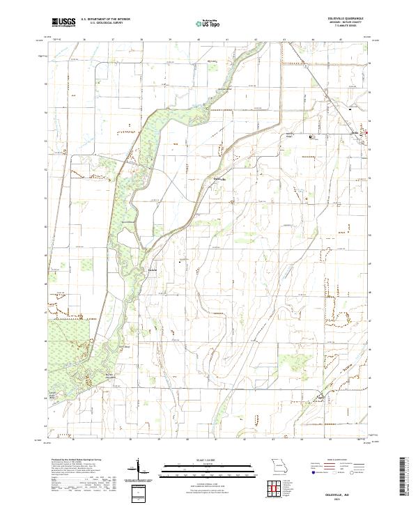
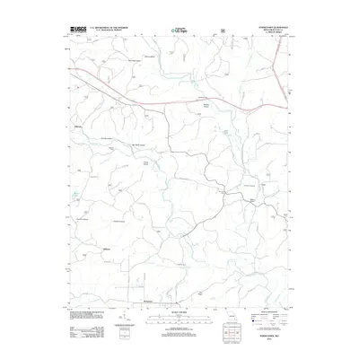
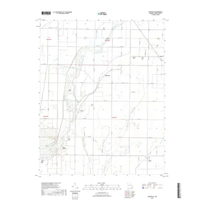
2021 Map of Oglesville
USGS Topo · Published 2021About this map
The Black River winds through this southern Missouri landscape, defining a network of oxbows and bends such as Devils Elbow, Buffalo Hole Bend, and Shotgun Bend. This region, documented in 2021, reflects a complex hydraulic history where natural watercourses like Big Hunting Slough and Caney Slough meet engineered channels including the Black River Ditch, Ackerman Ditch, and the prominent Cache River Ditch. These waterways historically dictated the settlement patterns of the flat, alluvial terrain.
Find a feature on this map
69 named features on this map. Tap any name to fly to it.
Don’t see what you’re looking for? This feature index may not catch every label — zoom into the map to look around manually.
Map Details
Editions of this 2021 Oglesville Map
This is the sole edition of this map. No revisions or reprints were ever made.
Historical Maps of Qulin Through Time
25 maps found
1963 Hanleyville
Butler County, MO
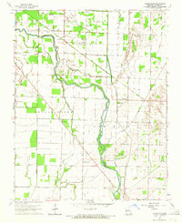
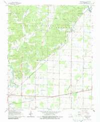
1964 Oglesville
Butler County, MO
1964 Vastus
Butler County, MO
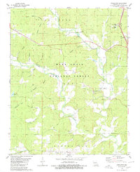
1966 Rombauer
Butler County, MO
1980 Stringtown
Butler County, MO

2011 Hanleyville
Butler County, MO
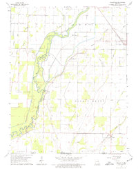
2011 Oglesville
Butler County, MO
2011 Rombauer
Butler County, MO
2011 Stringtown
Butler County, MO
2011 Vastus
Butler County, MO
2015 Hanleyville
Butler County, MO
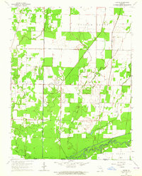
2015 Oglesville
Butler County, MO
2015 Rombauer
Butler County, MO
2015 Stringtown
Butler County, MO
2015 Vastus
Butler County, MO
2017 Hanleyville
Butler County, MO
2017 Oglesville
Butler County, MO
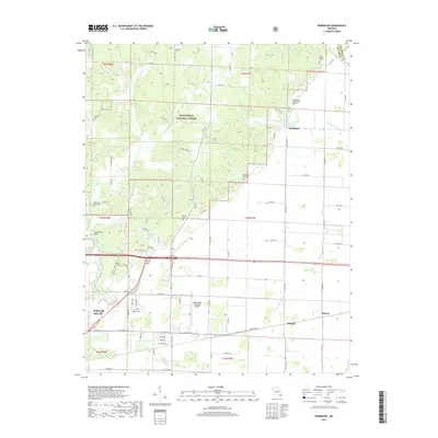
2017 Rombauer
Butler County, MO
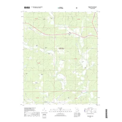
2017 Stringtown
Butler County, MO
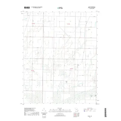
2017 Vastus
Butler County, MO
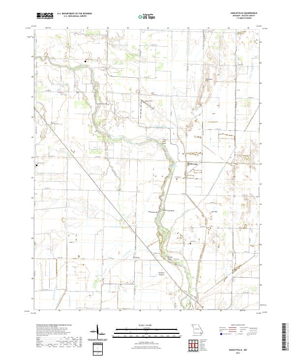
2021 Hanleyville
Butler County, MO
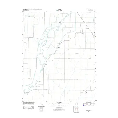
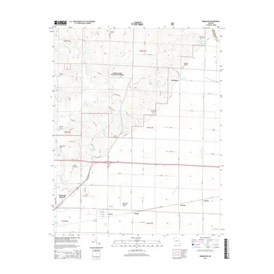
2021 Oglesville
Butler County, MO
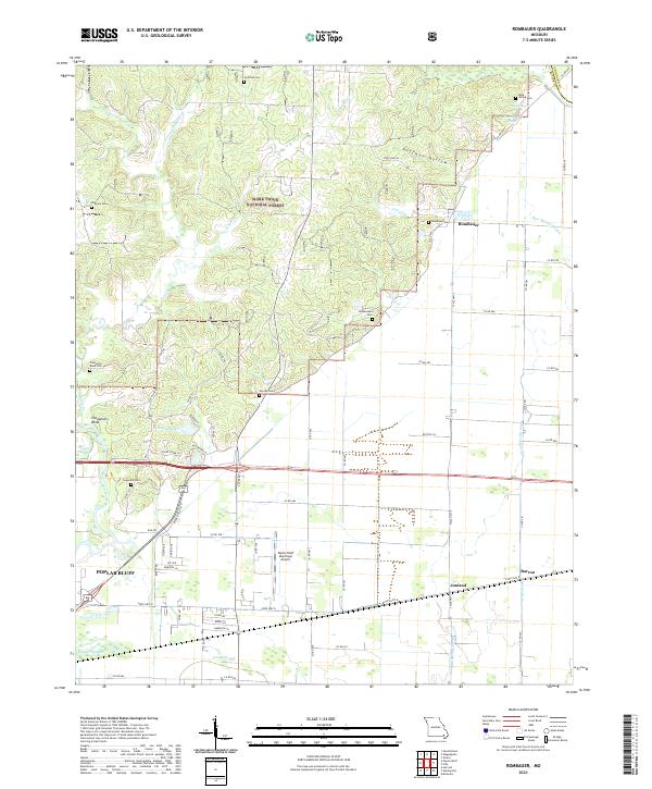
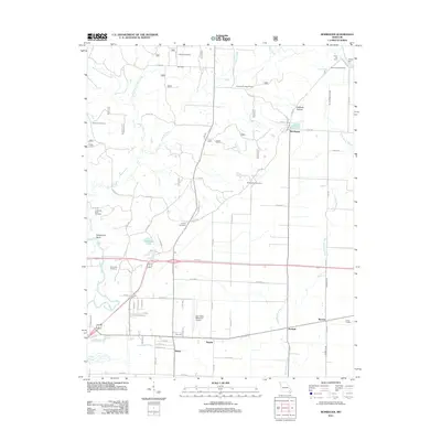
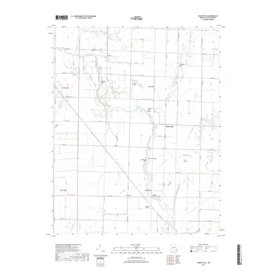
2021 Rombauer
Butler County, MO
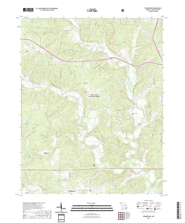
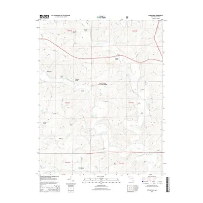
2021 Stringtown
Butler County, MO
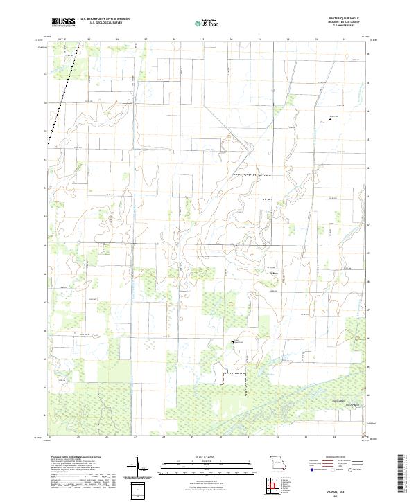
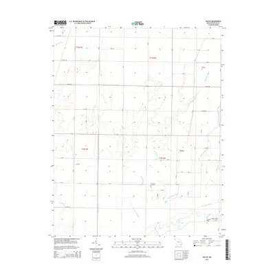
2021 Vastus
Butler County, MO