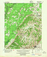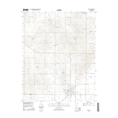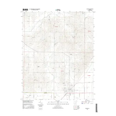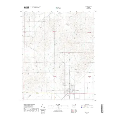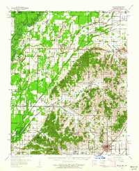
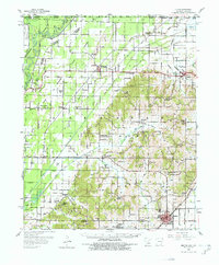
1958 Map of Rector
USGS Topo · Published 1962About this map
Crowleys Ridge rises abruptly from the lowlands of northeast Arkansas, creating a dramatic topographical divide between the swampy bottomlands and the elevated settlements of Clay County. In the late 1950s, this area was a complex network of drainage projects designed to manage the flow of the Black River, including the Cane Creek Ditch and the Little Rock Memphis Ditch. The map illustrates a landscape of established rural communities, where life centered on local institutions like Knob Sch and churches such as Blooming Grove Ch and Smith Chapel. The transportation backbone of the region was defined by the St Louis Southwestern Railway, which connected the primary trading hub of Rector to northern outposts like McDougal. Numerous small family and community cemeteries, including the Underwood Cem and Gravel Hill Cem, are documented throughout the ridge, providing significant details for those tracing local lineages.
Find a feature on this map
54 named features on this map. Tap any name to fly to it.
Don’t see what you’re looking for? This feature index may not catch every label — zoom into the map to look around manually.
Map Details
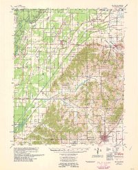
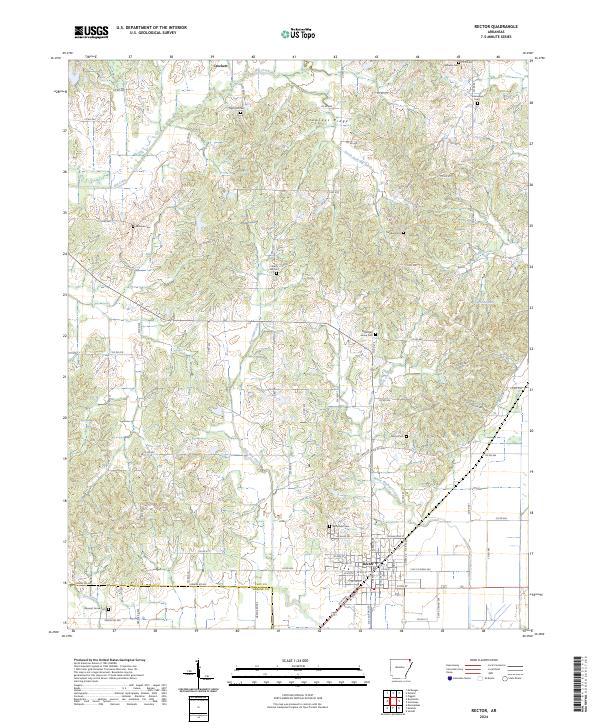
Editions of this 1958 Rector Map
2 editions found
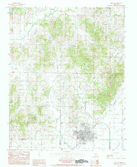
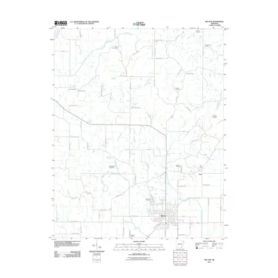
Historical Maps of Rector Through Time
9 maps found