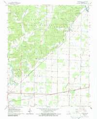
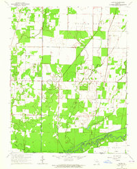
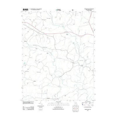
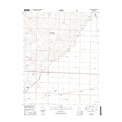
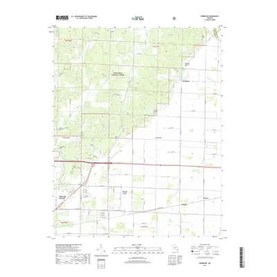
1966 Map of Rombauer
USGS Topo · Published 1986About this map
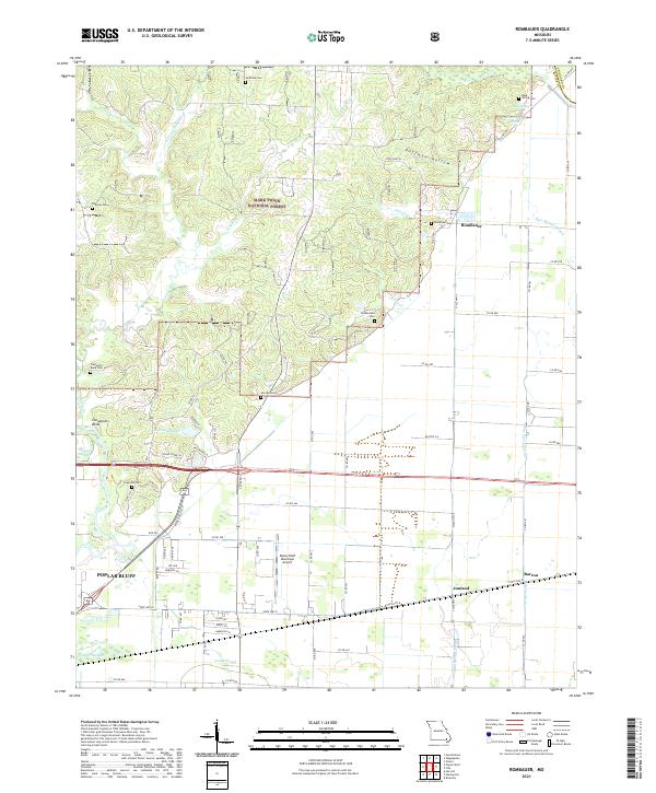
The St Louis - San Francisco and Missouri Pacific railroads define the transportation network of this Southeast Missouri landscape during the mid-1960s. These lines connect the small settlements of Rombauer, Junland, and Barron, serving an economy transitioning between timber and agriculture. To the north and west, the dense woodlands of Clark National Forest and St Francois National Forest are punctuated by the Rombauer Lookout Tower and a network of jeep trails.
Find a feature on this map
43 named features on this map. Tap any name to fly to it.
Don’t see what you’re looking for? This feature index may not catch every label — zoom into the map to look around manually.
Map Details
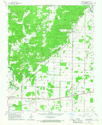
Editions of this 1966 Rombauer Map
2 editions found
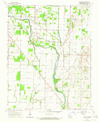
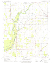
Historical Maps of Poplar Bluff Through Time
25 maps found
1963 Hanleyville
Butler County, MO
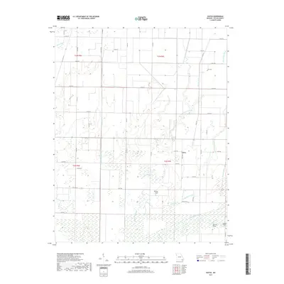
1964 Oglesville
Butler County, MO
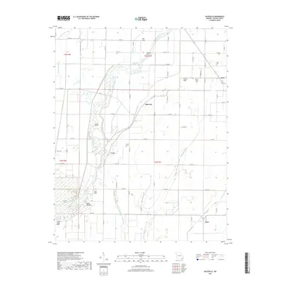
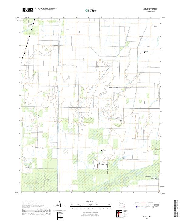
1964 Vastus
Butler County, MO
1966 Rombauer
Butler County, MO
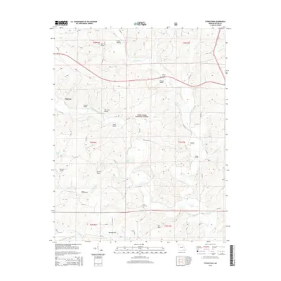
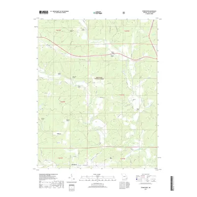
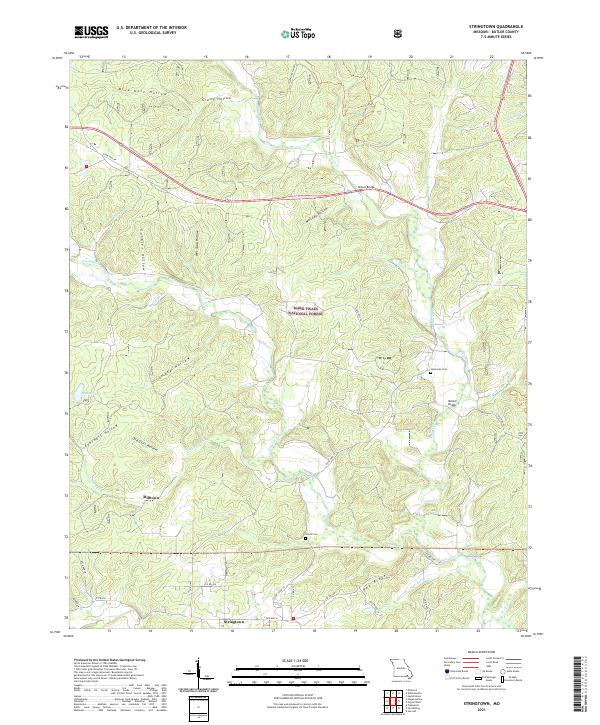
1980 Stringtown
Butler County, MO

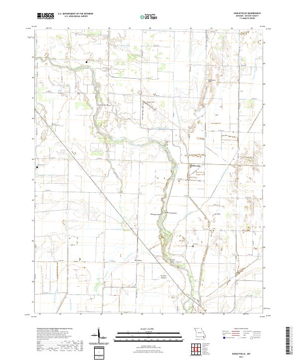
2011 Hanleyville
Butler County, MO
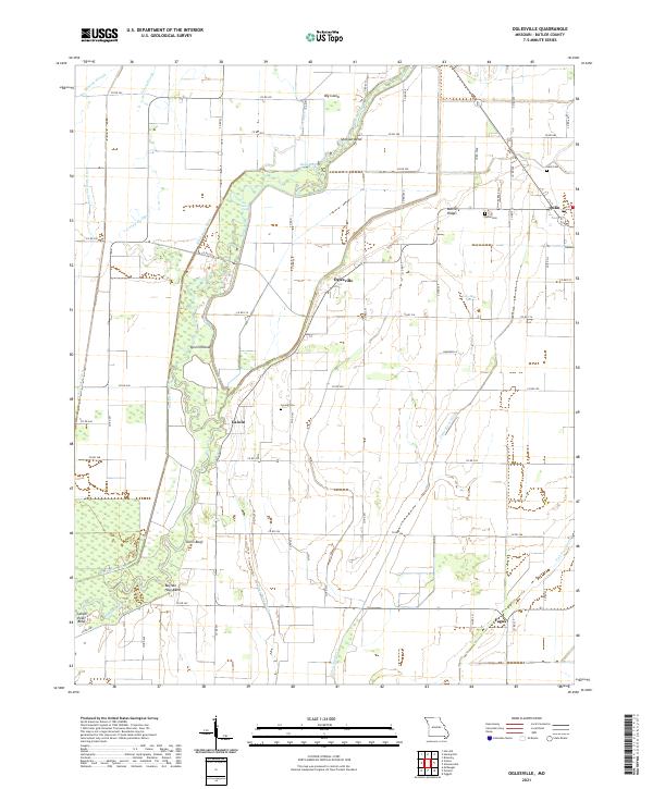
2011 Oglesville
Butler County, MO
2011 Rombauer
Butler County, MO
2011 Stringtown
Butler County, MO
2011 Vastus
Butler County, MO
2015 Hanleyville
Butler County, MO
2015 Oglesville
Butler County, MO
2015 Rombauer
Butler County, MO
2015 Stringtown
Butler County, MO
2015 Vastus
Butler County, MO
2017 Hanleyville
Butler County, MO
2017 Oglesville
Butler County, MO
2017 Rombauer
Butler County, MO
2017 Stringtown
Butler County, MO
2017 Vastus
Butler County, MO
2021 Hanleyville
Butler County, MO
2021 Oglesville
Butler County, MO
2021 Rombauer
Butler County, MO
2021 Stringtown
Butler County, MO
2021 Vastus
Butler County, MO