Old Maps of Braymer, Missouri for Academic Research
Study the evolution of Braymer with 11 high-resolution historic maps. Whether you're teaching, researching, or modeling changes in land use, these maps provide essential visual documentation of urban, environmental, and geographic change.
- Analyze long-term change: Track patterns in development, transportation, and natural features.
- Ideal for environmental or urban studies: Support academic projects with primary historical map data.
- Use in the classroom or lab: Educators and researchers rely on these maps to bring historical context to life.
These maps are a powerful tool for teaching, research, and visualizing how Braymer has changed over the decades.
Braymer, MO maps
(11)- 1924 Map of Braymer
 1924 Braymer1924 Print · USGSNorthwest Missouri's agricultural heartland is documented here in the early twenties, showing a landscape defined by the railroad and a dense grid of rural schoolhouses. Genealogists can locate specific family landmarks like Brown Jug School, Hopewell Church, and the Gould Farm Bridge.3 unique versions available
 - 1953 Map of Moberly
 1953 Moberly1953 Print · USGSMid-century north-central Missouri is documented here as a bustling intersection of river commerce and heavy rail. Researchers can trace historic family-named landmarks and transport hubs from the Missouri River corridor to the rail yards of Moberly, Chillicothe, and Macon.
 - 1954 Map of Moberly, 1969 Print
 1954 Moberly1969 Print · USGSMid-century Missouri is captured here during a period of transition for its river towns and rail hubs. Genealogists and historians can trace the paths of the Wabash railroad through Moberly or explore the riverside layout of Lexington and Brunswick.3 unique versions available
 - 1957 Map of Moberly
 1957 Moberly1957 Print · USGSNorth-central Missouri in the late nineteen-forties and fifties remains a landscape defined by its great rivers and a dense network of steam and diesel rail lines. Genealogists and historians can trace the paths of the Wabash RR and Santa Fe RR through historic junctions like Moberly, Brookfield, and Macon.
 - 1960 Map of Moberly
 1960 Moberly1960 Print · USGSCentral Missouri comes alive in the mid-twentieth century as a bustling network of river towns and significant rail corridors. Genealogists and historians can trace the paths of the Wabash RR through Moberly or explore the riverfronts of Lexington and Brunswick.
 - 1981 Map of Chillicothe
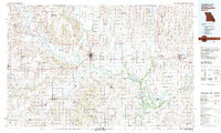 1981 Chillicothe1981 Print · USGSNorth Missouri's Grand River basin comes into focus during the early 1980s, showcasing a network of vital rail lines and river settlements. Genealogists and historians can trace rail-town development from Gallatin to Brookfield and explore extensive conservation lands like Swan Lake National Wildlife Refuge.
 - 1984 Map of Braymer, 1985 Print
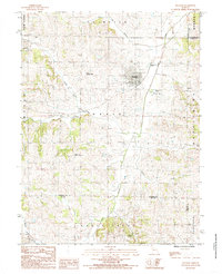 1984 Braymer1985 Print · USGSNorth-central Missouri in the early eighties shows a landscape defined by township boundaries and the winding North and South Mud Creeks. Researchers can trace rural landmarks from Braymer to Black Oak, including family cemeteries and Tinney Grove.
 - 2012 Map of Braymer, 2012 Print
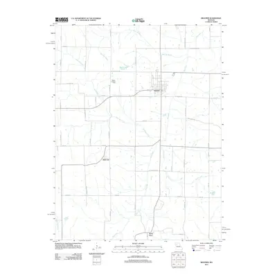 2012 Braymer2012 Print · USGSBraymer and the surrounding Caldwell County countryside are captured here in the early twenty-first century. Genealogists and local historians can trace the rural landscape between Black Oak and Tinney Grove, or locate landmarks like Wright Landing Field.
 - 2015 Map of Braymer, 2015 Print
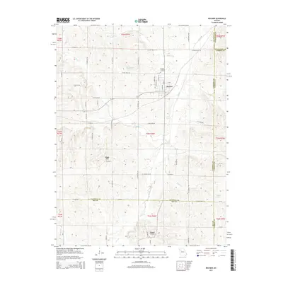 2015 Braymer2015 Print · USGSCaldwell County and its neighbors show a landscape of dispersed farmsteads and creek-side settlements during the early twenty-first century. Genealogists and local historians can locate family sites near Braymer, the Braymer Evergreen Cemetery, or the rural community of Black Oak.
 - 2017 Map of Braymer, 2017 Print
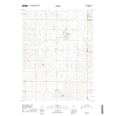 2017 Braymer2017 Print · USGSNorthwestern Missouri farmland at the Caldwell and Ray County line is captured here in the late twenty-teens. Researchers can trace rural lineages through local landmarks like Braymer Evergreen Cem or the hamlets of Black Oak and Tinney Grove.
 - 2021 Map of Braymer, 2021 Print
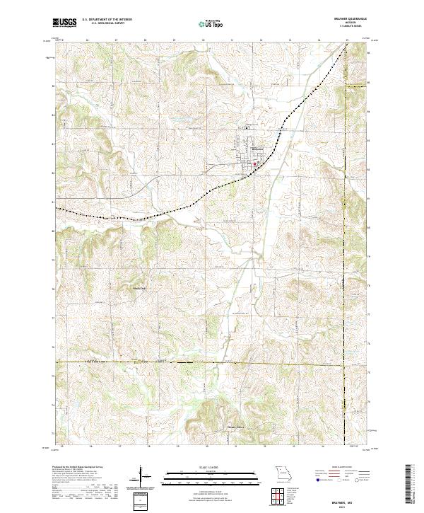 2021 Braymer2021 Print · USGSNorthwest Missouri rural life is centered on the town of Braymer in the early twenty-first century. Genealogists and local researchers can trace the vicinity of Black Oak, locate the Evergreen Cem, and follow the many branches of Mud Cr.
End of results
Showing maps 1-11 of 11
Top cities near Braymer
- Chillicothe historical maps
- Hamilton historical maps
- Breckenridge historical maps
- New York historical maps
- Utica historical maps
- Sampsel historical maps
See more
Frequently asked questions
- What are the different types of historical maps available for Braymer?
- What is the oldest map of Braymer?
- Where can I purchase historical maps of Braymer for my home or office?
- Where can I download high-res historical maps of Braymer?
- Are there historical topographic maps available for Braymer?
- Is there historical aerial imagery available for Braymer?
- Where are historical maps of Braymer sourced from?