Old Maps of Cleveland, Missouri for Hiking & Exploration
Hike through history with 13 historic maps of Cleveland. Explore old trails, ghost towns, and forgotten backroads — perfect for outdoor adventurers and local explorers.
- Rediscover forgotten places: Map out old mining camps, roads, and footpaths that no longer exist on modern maps.
- Layer with modern tools: Combine with LiDAR or satellite views to plan hikes through historical terrain.
- Made for exploration: Popular among hikers, overlanders, and local history lovers.
Use these maps to find adventure and explore the hidden past of Cleveland.
Cleveland, MO maps
(13)- 1887 Map of Olathe
 1887 Olathe1887 Print · USGSEastern Kansas and the Missouri borderlands were being transformed by rail during the 1880s. Genealogists and historians can trace early town sites and railroad corridors like the Kansas City Clinton and Springfield Railroad and settlements from Lenexa to Osawatomie.
 - 1893 Map of Olathe
 1893 Olathe1893 Print · USGSThe Kansas-Missouri border thrived during the late nineteenth century as a hub for expanding railroads and prairie commerce. Genealogists and historians can trace the early rail networks and locate frontier settlements like New Santa Fe, Olathe, and Paola.6 unique versions available
 - 1947 Map of Lawrence, 1954 Print
 1947 Lawrence1954 Print · USGSEastern Kansas and western Missouri thrive in the late 1940s, showing a landscape defined by major river valleys and a dense railway network. Genealogists can trace family settlements from Lawrence to Greenwood and locate landmarks like Olathe Navy and Lake Lotawana.
 - 1950 Map of Lawrence
 1950 Lawrence1950 Print · USGSMid-century Kansas and Missouri come alive in this map of the river-valley corridors just as the interstate era was beginning. Researchers can trace the legacy of major rail lines like the Union Pacific RR and locate ancestral roots in towns from Lawrence to Harrisonville.
 - 1953 Map of West Line, 1954 Print
 1953 West Line1954 Print · USGSAlong the Kansas-Missouri border in the early fifties, this area shows a landscape of small rail-side towns and rural school districts. Researchers can find many family landmarks, from Glenwild Cem and Corinth Cem to the tracks of the Kansas City Southern.4 unique versions available
 - 1956 Map of Lawrence, 1967 Print
 1956 Lawrence1967 Print · USGSEastern Kansas and the Missouri border country are captured here during the mid-century transition to the interstate era. Genealogists and local historians can trace family-named terrain like Summers Mound and the footprint of Sunflower Ordnance Works near Baldwin City.4 unique versions available
 - 1961 Map of Lawrence
 1961 Lawrence1961 Print · USGSThe Kansas-Missouri borderland shows its mid-century transition from a rail-dependent agricultural region to a suburbanizing landscape. Genealogists can trace family footprints through numerous Cem sites and distinctive terrain landmarks like Graves Mound and Summers Mound.
 - 1983 Map of Olathe, 1984 Print
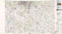 1983 Olathe1984 Print · USGSThe Kansas-Missouri borderlands hum with suburban growth and historic transit routes in the early eighties. Researchers can trace the Santa Fe Trail across a landscape featuring Richards-Gebaur Air Force Base and Hillsdale Lake.
 - 2009 Map of West Line, 2009 Print
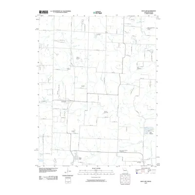 2009 West Line2009 Print · USGSCass County’s rural transitions are documented here at the turn of the decade, showing the residential growth surrounding Cleveland and West Line. Genealogists can trace family sites at Glenwild Cemetery or Frazee Cemetery while mapping landmarks like Lake Annette.
 - 2011 Map of West Line, 2011 Print
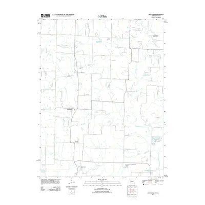 2011 West Line2011 Print · USGSMissouri's Cass County borderlands appear in detail during this era of rural development and small-town growth. Genealogists can locate family landmarks like Glenwild Cemetery and Frazee Cemetery while tracing the waters of the South Grand River and Lake Annette.
 - 2015 Map of West Line, 2015 Print
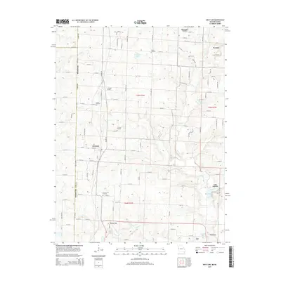 2015 West Line2015 Print · USGSThe Missouri-Kansas borderlands come into focus in the mid-2010s, showing the rural communities and cemeteries of western Cass County. Genealogists and local historians can trace family plots at Cleveland Cemetery or Glenwild Cemetery and explore the outskirts of Cleveland and West Line.
 - 2017 Map of West Line, 2017 Print
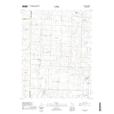 2017 West Line2017 Print · USGSThe Missouri-Kansas borderlands in Cass County come into sharp focus during this recent era. Genealogists and local historians can trace family locations through rural landmarks like Glenwild Cemetery, Cleveland, and the residential pocket of Riverview Estates.
 - 2021 Map of West Line, 2021 Print
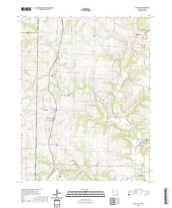 2021 West Line2021 Print · USGSThe Missouri-Kansas borderlands in Cass County come into focus in this recent survey of the rural landscape south of Kansas City. Researchers can trace local lineage through Cleveland Cem and Glenwild Cem, or locate family sites near West Line and Lake Annette.
End of results
Showing maps 1-13 of 13
Top cities near Cleveland
- Kansas City historical maps
- Overland Park historical maps
- Olathe historical maps
- Lee's Summit historical maps
- Leawood historical maps
- Grandview historical maps
See more
Frequently asked questions
- What are the different types of historical maps available for Cleveland?
- What is the oldest map of Cleveland?
- Where can I purchase historical maps of Cleveland for my home or office?
- Where can I download high-res historical maps of Cleveland?
- Are there historical topographic maps available for Cleveland?
- Is there historical aerial imagery available for Cleveland?
- Where are historical maps of Cleveland sourced from?