2000s (21st Century) Maps of Drexel, Missouri
Explore 10 historic maps of Drexel from the 2000s (21st Century). These maps offer a rare glimpse into what life looked like during the 2000s — showing old roads, neighborhoods, homes, and landmarks that have changed or disappeared over time.
Whether you're researching your family's past, planning a metal detecting trip, or studying how Drexel's landscape evolved across the 2000s, these high-resolution maps are a powerful tool for exploring the history of this region.
- Focus on a specific era: All maps on this page are from the 2000s, giving you a focused view of this time period.
- See what’s changed: Compare century-old streets, trails, and buildings to today's modern landscape using overlays and satellite layers.
- Research with precision: Use these maps for genealogy, historical research, land use analysis, or educational projects.
- View, download, or print: Maps are fully viewable online in high resolution, and can be downloaded or printed for your own records.
Start exploring Drexel's history through authentic maps from the 2000s. This is your window into the past.
Drexel, MO maps
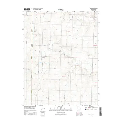
(10)- 2009 Map of Drexel, 2009 Print
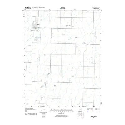 2009 Drexel2009 Print · USGSCovers Drexel, including Merwin, South Drexel, and other nearby areas
 - 2009 Map of Freeman, 2009 Print
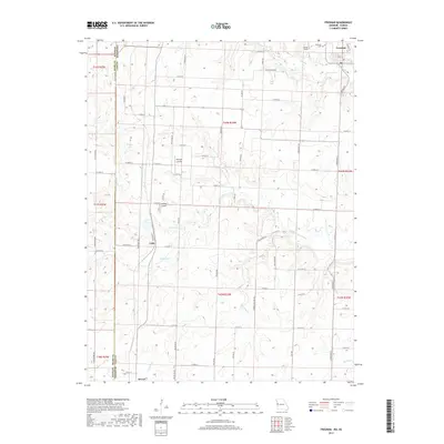
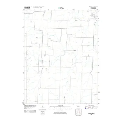 2009 Freeman2009 Print · USGSCovers Drexel, including Freeman, Lisle, and other nearby areas
 - 2011 Map of Freeman, 2011 Print
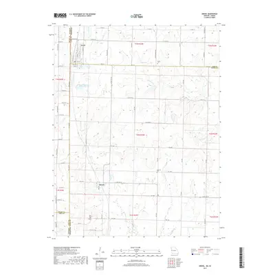
 2011 Freeman2011 Print · USGSCovers Drexel, including Freeman, Lisle, and other nearby areas
 - 2011 Map of Drexel, 2011 Print
 2011 Drexel2011 Print · USGSCovers Drexel, including Merwin, South Drexel, and other nearby areas
 - 2014 Map of Freeman, 2014 Print
 2014 Freeman2014 Print · USGSCovers Drexel, including Freeman, Lisle, and other nearby areas
 - 2015 Map of Drexel, 2015 Print
 2015 Drexel2015 Print · USGSCovers Drexel, including Merwin, South Drexel, and other nearby areas
 - 2017 Map of Freeman, 2017 Print
 2017 Freeman2017 Print · USGSCovers Drexel, including Freeman, Lisle, and other nearby areas
 - 2017 Map of Drexel, 2017 Print
 2017 Drexel2017 Print · USGSCovers Drexel, including Merwin, South Drexel, and other nearby areas
 - 2021 Map of Freeman, 2021 Print
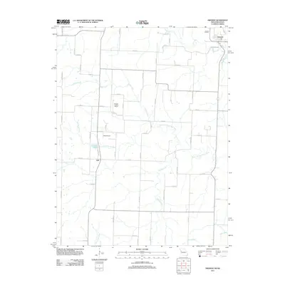
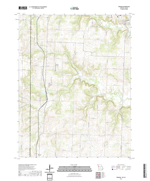 2021 Freeman2021 Print · USGSThe Kansas and Missouri borderlands come into focus in the early 2020s, showing a landscape of rural airfields and creekside settlements. Trace local history through Freeman, Lisle, and landmarks like Bishop's Landing or Veach Field.
 - 2021 Map of Drexel, 2021 Print
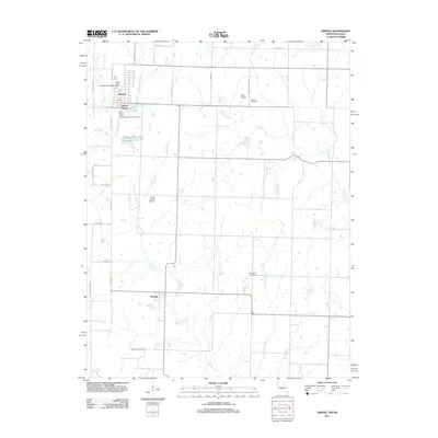
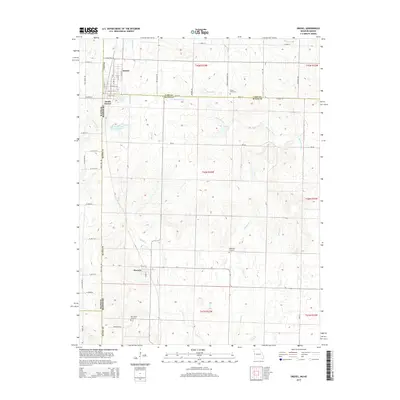
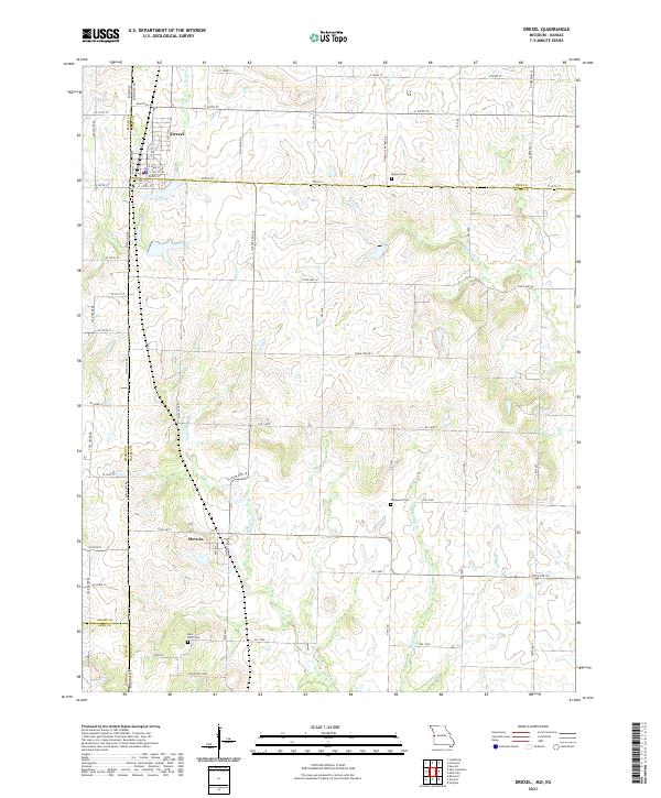 2021 Drexel2021 Print · USGSThe borderlands of Cass and Bates counties come into focus here in the early twenty-first century, showing the enduring grid of the Missouri-Kansas line. Genealogists and local researchers can locate Sharon Cem, Edgewood Cem, and the small settlement of Merwin.
End of results
Showing maps 1-10 of 10
Top cities near Drexel
- Harrisonville historical maps
- Peculiar historical maps
- Spring Hill historical maps
- Louisburg historical maps
- Adrian historical maps
- Wea historical maps
See more
Top neighborhoods of Drexel
Frequently asked questions
- What are the different types of historical maps available for Drexel?
- What is the oldest map of Drexel?
- Where can I purchase historical maps of Drexel for my home or office?
- Where can I download high-res historical maps of Drexel?
- Are there historical topographic maps available for Drexel?
- Is there historical aerial imagery available for Drexel?
- Where are historical maps of Drexel sourced from?