2000s (21st Century) Maps of Jerico Springs, Missouri
Explore 8 historic maps of Jerico Springs from the 2000s (21st Century). These maps offer a rare glimpse into what life looked like during the 2000s — showing old roads, neighborhoods, homes, and landmarks that have changed or disappeared over time.
Whether you're researching your family's past, planning a metal detecting trip, or studying how Jerico Springs's landscape evolved across the 2000s, these high-resolution maps are a powerful tool for exploring the history of this region.
- Focus on a specific era: All maps on this page are from the 2000s, giving you a focused view of this time period.
- See what’s changed: Compare century-old streets, trails, and buildings to today's modern landscape using overlays and satellite layers.
- Research with precision: Use these maps for genealogy, historical research, land use analysis, or educational projects.
- View, download, or print: Maps are fully viewable online in high resolution, and can be downloaded or printed for your own records.
Start exploring Jerico Springs's history through authentic maps from the 2000s. This is your window into the past.
Jerico Springs, MO maps
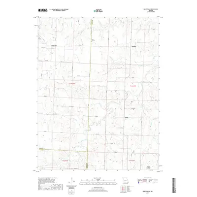
(8)- 2011 Map of Montevallo, 2011 Print
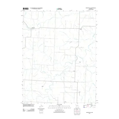 2011 Montevallo2011 Print · USGSCovers Jerico Springs, including Montevallo, Zodiac, and other nearby areas
 - 2011 Map of Jerico Springs, 2011 Print
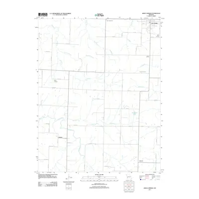 2011 Jerico Springs2011 Print · USGSCovers Jerico Springs, including Newport, Sylvania, and other nearby areas
 - 2015 Map of Jerico Springs, 2015 Print
 2015 Jerico Springs2015 Print · USGSCovers Jerico Springs, including Newport, Sylvania, and other nearby areas
 - 2015 Map of Montevallo, 2015 Print
 2015 Montevallo2015 Print · USGSCovers Jerico Springs, including Montevallo, Zodiac, and other nearby areas
 - 2017 Map of Jerico Springs, 2017 Print
 2017 Jerico Springs2017 Print · USGSCovers Jerico Springs, including Newport, Sylvania, and other nearby areas
 - 2017 Map of Montevallo, 2017 Print
 2017 Montevallo2017 Print · USGSCovers Jerico Springs, including Montevallo, Zodiac, and other nearby areas
 - 2021 Map of Montevallo, 2021 Print
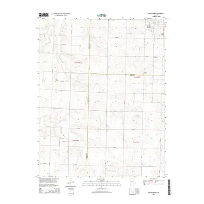
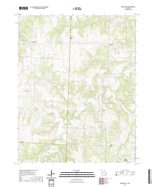 2021 Montevallo2021 Print · USGSThe rural borderlands of Cedar and Vernon Counties come alive in this recent survey of Missouri's prairie-timber transition. Genealogists can locate family landmarks like Walnut Grove Cem and Brasher Cem or trace old routes through Montevallo and Olympia.
 - 2021 Map of Jerico Springs, 2021 Print
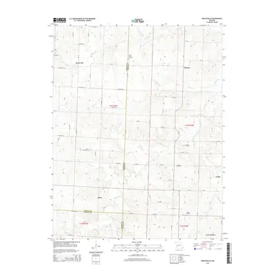
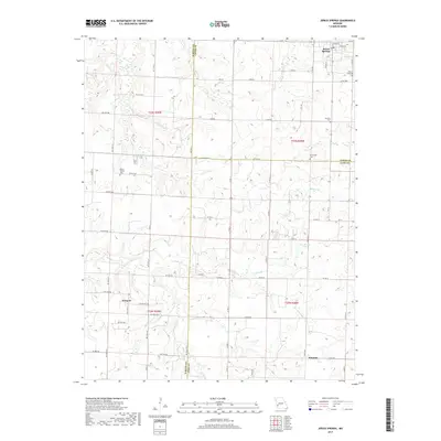
 2021 Jerico Springs2021 Print · USGSJerico Springs and its surrounding tri-county borderlands are detailed here in this contemporary look at Cedar, Barton, and Dade counties. Researchers can trace local lineage through numerous sites like Round Prairie Cem, Newport, and Bethlehem Cem.
End of results
Showing maps 1-8 of 8
Top cities near Jerico Springs
- Stockton historical maps
- Greenfield historical maps
- Golden City historical maps
- Newport historical maps
- Montevallo historical maps
- Umber View Heights historical maps
See more
Frequently asked questions
- What are the different types of historical maps available for Jerico Springs?
- What is the oldest map of Jerico Springs?
- Where can I purchase historical maps of Jerico Springs for my home or office?
- Where can I download high-res historical maps of Jerico Springs?
- Are there historical topographic maps available for Jerico Springs?
- Is there historical aerial imagery available for Jerico Springs?
- Where are historical maps of Jerico Springs sourced from?