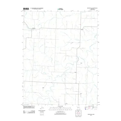
2011 Map of Montevallo
USGS Topo · Published 2011About this map
Montevallo and its surrounding rural prairie and creek bottoms in Vernon County are documented here through a network of gravel roads and winding watercourses. This landscape is defined by the drainage basins of Horse Creek and Stinking Creek, where numerous small tributaries like Wieland Branch and Mill Branch carve through the agricultural terrain. The settlement pattern is sparse, composed of small community centers such as Olympia, Osiris, and Zodiac, which serve as quiet landmarks among the expansive fields. For those tracing local heritage, the inclusion of Oldham Cemetery and Brasher Cemetery provides critical geographic anchors for family history. The presence of West Independence at the southern edge suggests a historical lineage of small Missouri townships tied to the land and local road systems like Co Line Rd and NE 100th Rd.
Find a feature on this map
53 named features on this map. Tap any name to fly to it.
Don’t see what you’re looking for? This feature index may not catch every label — zoom into the map to look around manually.
Map Details
Editions of this 2011 Montevallo Map
This is the sole edition of this map. No revisions or reprints were ever made.
Other maps of this area

1886 · Nevada
USGS Topo · 1:125,000

1886 · Stockton
USGS Topo · 1:125,000

1894 · Nevada
USGS Topo · 1:125,000

1939 · Dederick
USGS Topo · 1:24,000

1939 · Filley
USGS Topo · 1:24,000

1939 · Eldorado Springs South
USGS Topo · 1:24,000

1940 · Filley
USGS Topo · 1:24,000
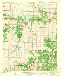
1942 · Dederick
USGS Topo · 1:24,000
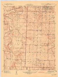
1942 · Eldorado Springs South
USGS Topo · 1:24,000

1947 · Joplin
USGS Topo · 1:250,000