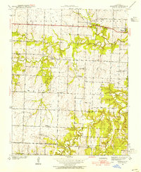
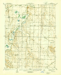
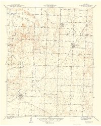
1939 Map of Dederick
USGS Topo · Published 1954About this map
The settlement of Dederick and the wide expanse of Walker Prairie anchor this pre-war survey of Vernon County. The landscape is defined by the intersection of the Missouri Kansas and Texas railroad and the Kansas City and Texas road, which together shaped the local economy. Beyond the rails, a dense network of rural infrastructure is visible, including an exceptional number of country schools such as Green Springs Sch, Willow Grove Sch, and Badger Sch, reflecting the distributed population of the era.
Find a feature on this map
31 named features on this map. Tap any name to fly to it.
Don’t see what you’re looking for? This feature index may not catch every label — zoom into the map to look around manually.
Map Details
Editions of this 1939 Dederick Map
2 editions found
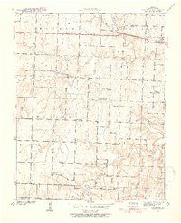
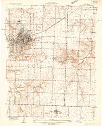
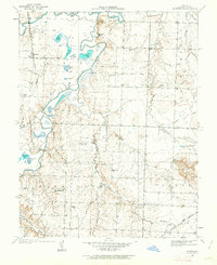
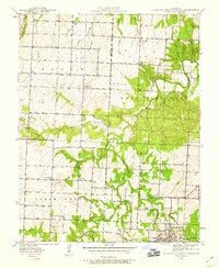
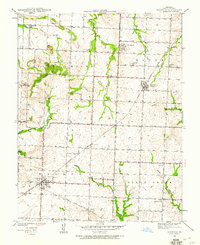
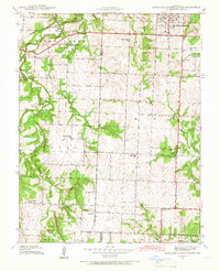
Other maps of this area

1886 · Nevada
USGS Topo · 1:125,000

1894 · Nevada
USGS Topo · 1:125,000
1933 · Camp Clark
USGS Topo · 1:24,000
1938 · Horton
USGS Topo · 1:24,000
1939 · Horton
USGS Topo · 1:24,000
1939 · Eldorado Springs North
USGS Topo · 1:24,000
1939 · Harwood
USGS Topo · 1:24,000
1939 · Eldorado Springs South
USGS Topo · 1:24,000
1940 · Harwood
USGS Topo · 1:24,000
1941 · Eldorado Springs North
USGS Topo · 1:24,000