Old Maps of Triplett, Missouri
Explore 19 old maps of Triplett, spanning from 1890 to today. These high-resolution historic maps reveal how streets, neighborhoods, landmarks, and natural features evolved over time — perfect for genealogy, metal detecting, research, and local history exploration.
What you can do with these maps:
- See how Triplett changed over time: Compare historical maps to modern-day views to trace roads, homesites, rail lines & more.
- View detailed metadata: Each map includes creators, publishers, year, scale, and archive source.
- Overlay maps with satellite & LiDAR: Visualize the past alongside modern tools to explore terrain & human change.
- Trusted historical sources: Maps sourced from the USGS, Library of Congress, and other archives.
- Access maps your way: View online, download high-res files, or order prints for personal or research use.
Start exploring old maps of Triplett to uncover forgotten places, hidden landmarks, and the deep history beneath your feet.
Triplett, MO maps
(19)- 1890 Map of Marshall
 1890 Marshall1890 Print · USGSSaline and Carroll counties come alive in this late nineteenth-century survey, showing the Missouri River bottomlands before modern channelization. Genealogists and historians can trace defunct river landings and rail stops like Eugene City, Laynesville, and Miami Station.
 - 1892 Map of Marshall, 1896 Print
 1892 Marshall1896 Print · USGSNorth-central Missouri in the 1890s is defined by its vibrant river commerce and expanding rail networks. Genealogists and historians can trace family roots through old settlements like Malta Bend, Laynesville, and Salt Springs along the Missouri River.
 - 1901 Map of Marshall
 1901 Marshall1901 Print · USGSCentral Missouri thrives along the river and rail lines at the turn of the century. Trace the early footprints of Marshall and Slater, or locate long-standing river landings and rural stations like Miami Station, Malta Bend, and Laynesville.5 unique versions available
 - 1949 Map of Mendon
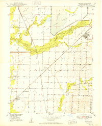 1949 Mendon1949 Print · USGSChariton County at the end of the 1940s shows a landscape of rail-driven settlements and protected wetlands. Trace the junctions of the Wabash railroad at Whitham or locate old community landmarks like Stephenson Sch and Jackson Cem.3 unique versions available
 - 1951 Map of Brunswick West, 1952 Print
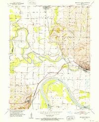 1951 Brunswick West1952 Print · USGSThe river bottomlands of Chariton and Carroll Counties are captured here in the early 1950s, showing a landscape defined by the winding Missouri River. Genealogists and researchers can locate several rural schools such as Smith Sch and local burial sites like Allega Cem.4 unique versions available
 - 1953 Map of Moberly
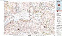
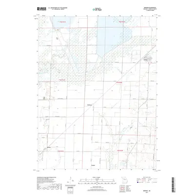
 1953 Moberly1953 Print · USGSMid-century north-central Missouri is documented here as a bustling intersection of river commerce and heavy rail. Researchers can trace historic family-named landmarks and transport hubs from the Missouri River corridor to the rail yards of Moberly, Chillicothe, and Macon.
 - 1954 Map of Moberly, 1969 Print
 1954 Moberly1969 Print · USGSMid-century Missouri is captured here during a period of transition for its river towns and rail hubs. Genealogists and historians can trace the paths of the Wabash railroad through Moberly or explore the riverside layout of Lexington and Brunswick.3 unique versions available
 - 1957 Map of Moberly
 1957 Moberly1957 Print · USGSNorth-central Missouri in the late nineteen-forties and fifties remains a landscape defined by its great rivers and a dense network of steam and diesel rail lines. Genealogists and historians can trace the paths of the Wabash RR and Santa Fe RR through historic junctions like Moberly, Brookfield, and Macon.
 - 1960 Map of Moberly
 1960 Moberly1960 Print · USGSCentral Missouri comes alive in the mid-twentieth century as a bustling network of river towns and significant rail corridors. Genealogists and historians can trace the paths of the Wabash RR through Moberly or explore the riverfronts of Lexington and Brunswick.
 - 1981 Map of Chillicothe
 1981 Chillicothe1981 Print · USGSNorth Missouri's Grand River basin comes into focus during the early 1980s, showcasing a network of vital rail lines and river settlements. Genealogists and historians can trace rail-town development from Gallatin to Brookfield and explore extensive conservation lands like Swan Lake National Wildlife Refuge.
 - 1982 Map of Marshall
 1982 Marshall1982 Print · USGSMid-Missouri river life and rail history meet in this early 1980s landscape, centered on the Missouri's winding course. Researchers can trace the historic Santa Fe Trail and explore sites like the Confederate Memorial State Park and Carrollton Mem Cemetery.
 - 2012 Map of Brunswick West, 2012 Print
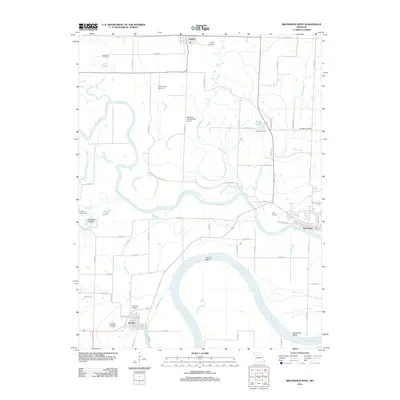 2012 Brunswick West2012 Print · USGSCovers Triplett, including Brunswick, De Witt, and other nearby areas
 - 2012 Map of Mendon, 2012 Print
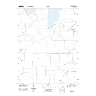 2012 Mendon2012 Print · USGSCovers Triplett, including Mendon, Snyder, and other nearby areas
 - 2015 Map of Brunswick West, 2015 Print
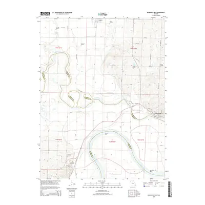 2015 Brunswick West2015 Print · USGSCovers Triplett, including Brunswick, De Witt, and other nearby areas
 - 2015 Map of Mendon, 2015 Print
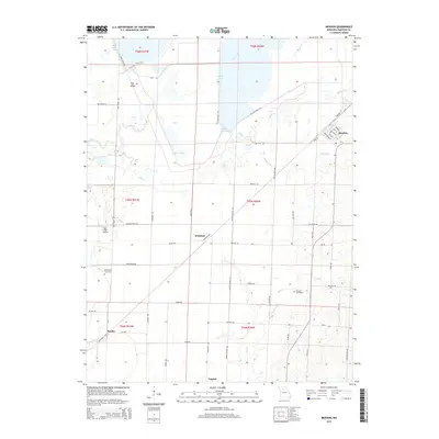 2015 Mendon2015 Print · USGSCovers Triplett, including Mendon, Snyder, and other nearby areas
 - 2017 Map of Brunswick West, 2017 Print
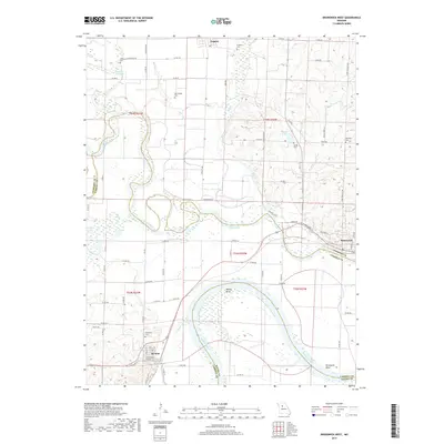 2017 Brunswick West2017 Print · USGSCovers Triplett, including Brunswick, De Witt, and other nearby areas
 - 2017 Map of Mendon, 2017 Print
 2017 Mendon2017 Print · USGSCovers Triplett, including Mendon, Snyder, and other nearby areas
 - 2021 Map of Mendon, 2021 Print
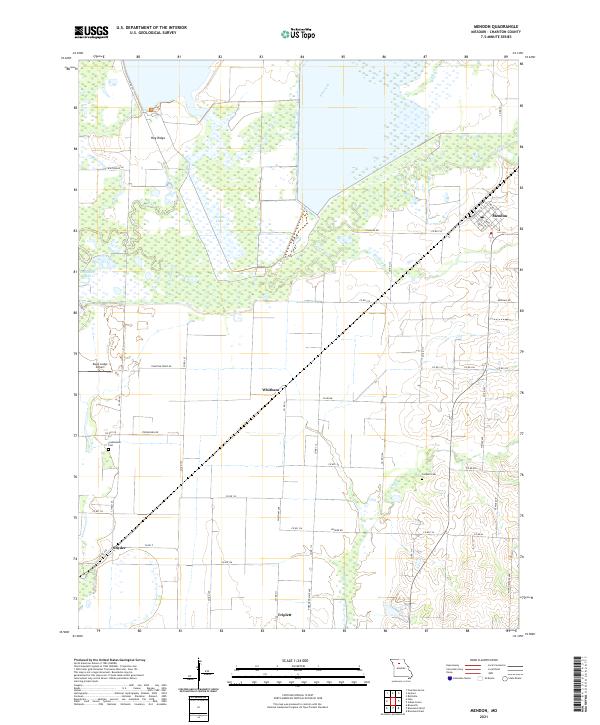 2021 Mendon2021 Print · USGSChariton County in the early 2020s remains a landscape of quiet rural settlements and extensive waterways. Local historians can trace the areas around Mendon and Whitham or locate old burial grounds such as Stephenson Cem and Jackson Cem.
 - 2021 Map of Brunswick West, 2021 Print
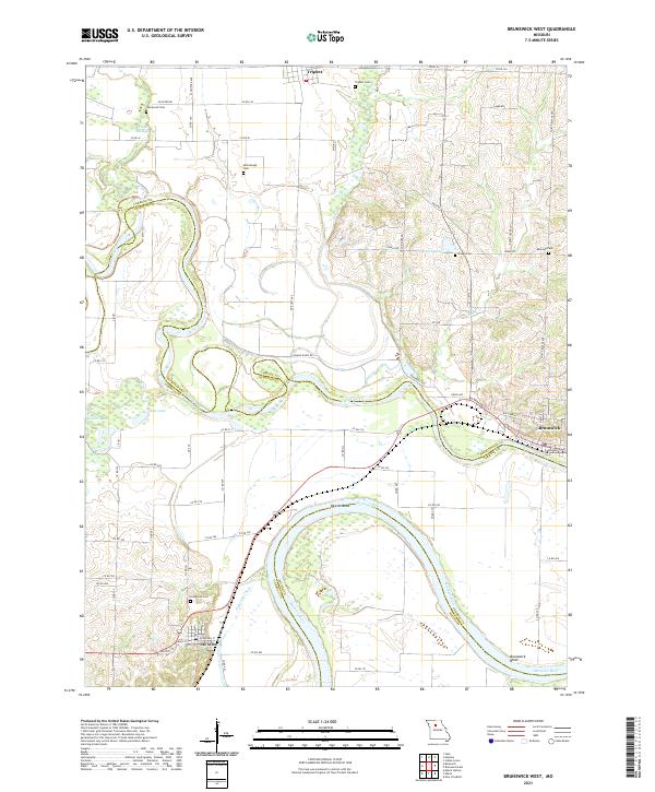 2021 Brunswick West2021 Print · USGSThe Missouri River bottoms and the confluence of the Grand River are captured in this recent survey. Genealogists and local historians can trace family locations near Evergreen Cem, De Witt, and the oxbows of Dewitt Bend.
End of results
Showing maps 1-19 of 19
Top cities near Triplett
- Brunswick historical maps
- Hale historical maps
- Wakenda historical maps
- Bosworth historical maps
- Cunningham historical maps
- Mendon historical maps
See more
Frequently asked questions
- What are the different types of historical maps available for Triplett?
- What is the oldest map of Triplett?
- Where can I purchase historical maps of Triplett for my home or office?
- Where can I download high-res historical maps of Triplett?
- Are there historical topographic maps available for Triplett?
- Is there historical aerial imagery available for Triplett?
- Where are historical maps of Triplett sourced from?