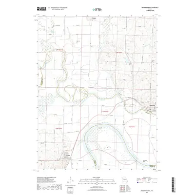
2017 Map of Brunswick West
USGS Topo · Published 2017About this map
The Missouri River and Grand River define the alluvial landscape of this region, meeting just south of the settlement at Brunswick. This survey highlights the complex hydrology of the river bottoms, where features like Dewitt Bend, Wakenda Chute, and Potter Slough trace the shifting paths of the major waterways. The town of De Witt sits along the northern bank of the Missouri, while Triplett serves as a northern hub for the surrounding agricultural community.
Find a feature on this map
72 named features on this map. Tap any name to fly to it.
Don’t see what you’re looking for? This feature index may not catch every label — zoom into the map to look around manually.
Map Details
Editions of this 2017 Brunswick West Map
This is the sole edition of this map. No revisions or reprints were ever made.
Other maps of this area

1890 · Marshall
USGS Topo · 1:125,000

1892 · Marshall
USGS Topo · 1:125,000

1901 · Marshall
USGS Topo · 1:125,000

1924 · Hale
USGS Topo · 1:62,500

1949 · Mendon
USGS Topo · 1:24,000

1949 · Indian Grove
USGS Topo · 1:24,000

1950 · Hale
USGS Topo · 1:24,000

1951 · Hale
USGS Topo · 1:24,000

1951 · Bosworth
USGS Topo · 1:24,000

1951 · Miami
USGS Topo · 1:24,000