
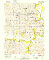
1951 Map of Bosworth
USGS Topo · Published 1952About this map
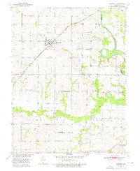
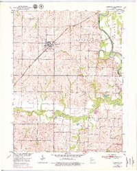
Bosworth serves as the central hub of this Missouri landscape, situated where the Atchison Topeka and Santa Fe railroad cuts through the prairie. The settlement pattern in the early 1950s reveals a dense network of rural infrastructure, particularly evident in the high concentration of country schools such as West Fairview Sch, Guillett Sch, and Crispin Sch. These landmarks, alongside Rockford Ch and Mt Carmel Ch, suggest a well-established agrarian community organized around local school districts and townships. To the east, the Grand River follows a winding path, leaving behind evidence of its former course at Old Channel. The map documents the low-lying floodplains near Potter Slough and the drainage systems of Big Creek and Little Hurricane Creek. For genealogists, the presence of family-named landmarks like Wharton Cem and Union Cem provides specific points for tracing local residency during this era.
Find a feature on this map
32 named features on this map. Tap any name to fly to it.
Don’t see what you’re looking for? This feature index may not catch every label — zoom into the map to look around manually.
Map Details
Editions of this 1951 Bosworth Map
4 editions found
Other maps of this area

1890 · Marshall
USGS Topo · 1:125,000

1892 · Marshall
USGS Topo · 1:125,000

1901 · Marshall
USGS Topo · 1:125,000

1924 · Hale
USGS Topo · 1:62,500

1949 · Mendon
USGS Topo · 1:24,000

1950 · Hale
USGS Topo · 1:24,000

1951 · Hale
USGS Topo · 1:24,000

1951 · Miami
USGS Topo · 1:24,000

1951 · Brunswick West
USGS Topo · 1:24,000

1951 · Miami Station
USGS Topo · 1:24,000