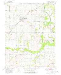
1951 Map of Bosworth
USGS Topo · Published 1976About this map
The town of Bosworth serves as the focal point of this agricultural landscape, situated at the junction of the Atchison Topeka and Santa Fe railroad and a network of rural section roads. In the early 1950s, the region was densely punctuated by small social hubs, including the Rockford Ch and an array of local educational sites such as West Fairview Sch, Guillett Sch, and White Swan Sch. These schools, often named for local families or landmarks, reflect a decentralized rural population before the consolidation of mid-century school districts.
Find a feature on this map
31 named features on this map. Tap any name to fly to it.
Don’t see what you’re looking for? This feature index may not catch every label — zoom into the map to look around manually.
Map Details
Editions of this 1951 Bosworth Map
4 editions found
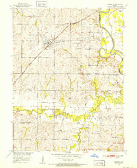
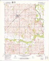
Other maps of this area

1890 · Marshall
USGS Topo · 1:125,000

1892 · Marshall
USGS Topo · 1:125,000

1901 · Marshall
USGS Topo · 1:125,000

1924 · Hale
USGS Topo · 1:62,500

1949 · Mendon
USGS Topo · 1:24,000

1950 · Hale
USGS Topo · 1:24,000

1951 · Hale
USGS Topo · 1:24,000

1951 · Bosworth
USGS Topo · 1:24,000

1951 · Miami
USGS Topo · 1:24,000

1951 · Brunswick West
USGS Topo · 1:24,000