
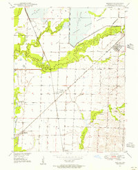
1949 Map of Mendon
USGS Topo · Published 1949About this map
Swan Lake National Wildlife Refuge dominates the northern landscape of this Chariton County survey, revealing a complex system of levees and wetlands surrounding Swan Lake and Silver Lake. The map details a vital mid-century transportation corridor where the Wabash and Atchison Topeka and Santa Fe railroads intersect near Whitham. This rail infrastructure supported a network of small rural hubs, including the town of Mendon and the dual-named settlement of Dean Lake Snyder P O.
Find a feature on this map
24 named features on this map. Tap any name to fly to it.
Don’t see what you’re looking for? This feature index may not catch every label — zoom into the map to look around manually.
Map Details
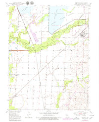
Editions of this 1949 Mendon Map
3 editions found
Other maps of this area

1890 · Marshall
USGS Topo · 1:125,000

1892 · Marshall
USGS Topo · 1:125,000

1901 · Marshall
USGS Topo · 1:125,000

1924 · Hale
USGS Topo · 1:62,500

1949 · Indian Grove
USGS Topo · 1:24,000

1949 · Sumner
USGS Topo · 1:24,000

1949 · Rothville
USGS Topo · 1:24,000

1950 · Sumner
USGS Topo · 1:24,000

1950 · Rothville
USGS Topo · 1:24,000

1950 · Hale
USGS Topo · 1:24,000