
1949 Map of Indian Grove
USGS Topo · Published 1949About this map
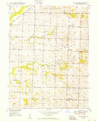
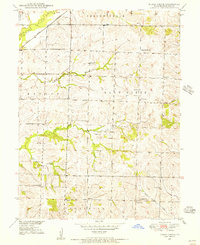
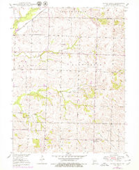
The settlement of Indian Grove and its surrounding rural community are documented here in the late 1940s, revealing a landscape defined by small-scale civic and religious centers. This Missouri River Basin survey shows a high density of rural schoolhouses and churches, such as North Newhall Sch and Siloam Ch, indicating a time when local education and worship were localized and tied to the surrounding farmsteads. The Atchison Topeka and Santa Fe railroad cuts across the northwest corner near Yellow Creek, providing a primary transit corridor for the region.
Find a feature on this map
29 named features on this map. Tap any name to fly to it.
Don’t see what you’re looking for? This feature index may not catch every label — zoom into the map to look around manually.
Map Details
Editions of this 1949 Indian Grove Map
4 editions found
Other maps of this area

1890 · Glasgow
USGS Topo · 1:125,000

1890 · Marshall
USGS Topo · 1:125,000

1892 · Marshall
USGS Topo · 1:125,000

1901 · Marshall
USGS Topo · 1:125,000

1949 · Mendon
USGS Topo · 1:24,000

1949 · Sumner
USGS Topo · 1:24,000

1949 · Rothville
USGS Topo · 1:24,000

1950 · Sumner
USGS Topo · 1:24,000

1950 · Rothville
USGS Topo · 1:24,000

1951 · Brunswick West
USGS Topo · 1:24,000